Route 1 or the Ring Road, is Iceland’s main road. It circles the country so following it (and some of its branches) is the most popular way to go round the island. If you want to make the most of your time here and you only happen to have a week or up to 10 days, driving along Route 1 is a great idea to begin with.
The Ring Road starts and ends in the capital – Reykjavik. As you plan your trip you may want to schedule a day or two to look around the capital city. You can easily throw in some nice places to see near Reykjavik, but not quite on Route 1. These are the so-called Golden Circle, the area around Grindavik (Reykjanes peninsula) and the Snaefellsnes peninsula. Things that require more effort, more time and a longer detour from Route 1 are Westfjords and – accessible only in summer – the Icelandic interior. All these places and activities are described for you in separate articles.
If you like it better, all these places are also covered in two videos on our YouTube channel. The original voice over is in Polish, but they are both subtitled in English. The first one is right here below and the other one you’ll find further down (and on the YT channel). They say that a video is worth a thousand images 😉 so we invite you warmly to watch these.
Video: Top 10 Places to See on the Ring Road in Iceland.
And here’s the map of all these top spots. Places from the Golden Circle, Westfjords and Snaefellsnes are also marked there. You can save the map in your Google profile by clicking it first to activate it and then clicking again on the small star to the right of the map’s title. This way you can access it later at any moment by going to Google Maps > Your Places > Maps
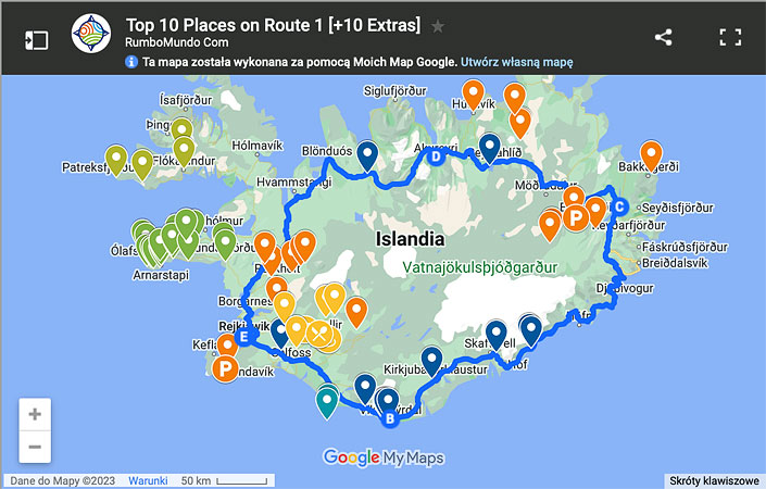
Map: Top 10 Attractions on Route 1 [+ extras].
You can also go to the list of all articles on the attractions of Route 1: Things to see on Route 1.
Myvatn area
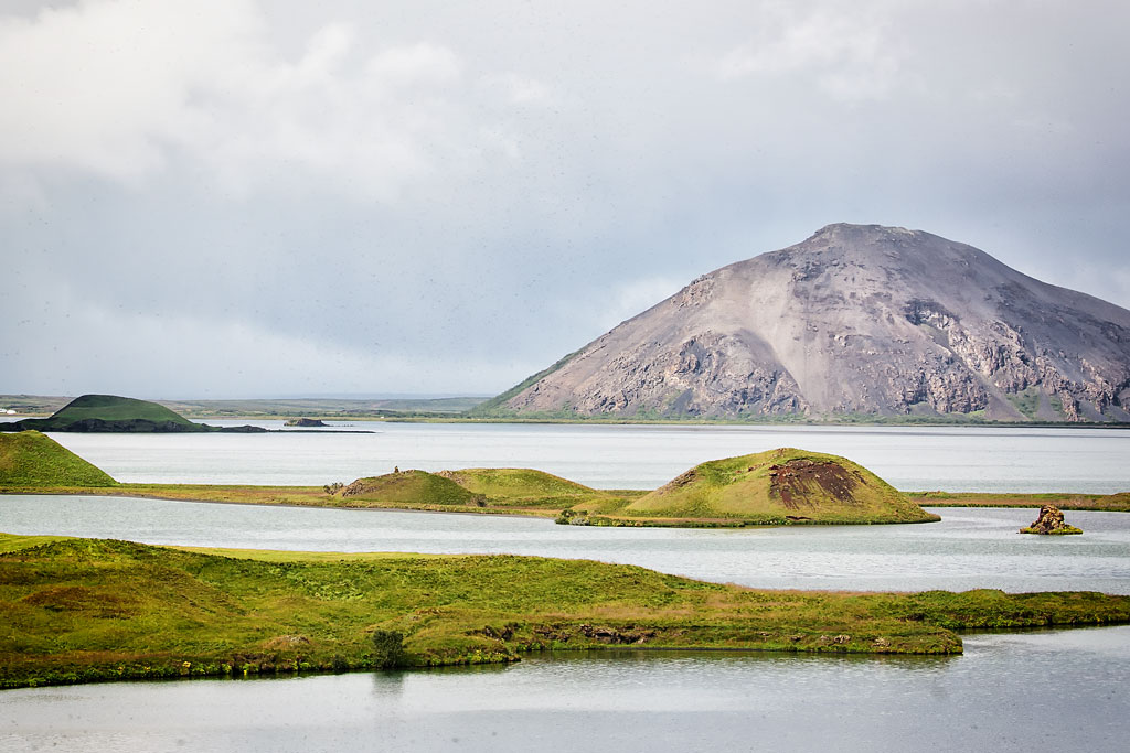
 Myvatn (in Icelandic: lake of flies) is located in the northeast of the country and is the fourth largest lake in Iceland. It is home to many bird species and it can surprise visitors with peculiar water color. But it is not the lake itself that is the main attraction here. What’s even more interesting are the plentiful exciting geological sites in the area. Many of them are unique on a global scale!
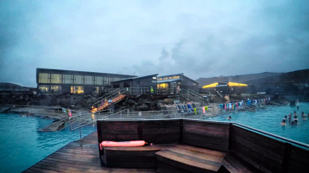
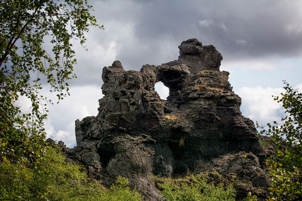
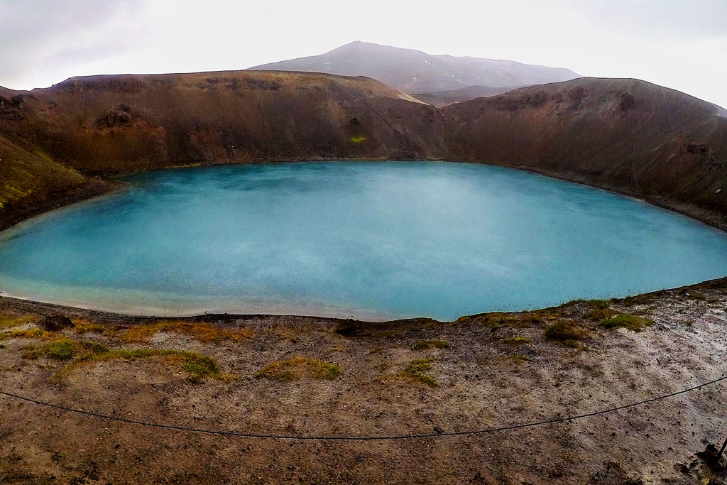
Most of these attractions are on the eastern shore of lake Myvatn, however, some can be found on its northern and southern shores. Some of the major ones include pseudocraters (rootless cones) Skutustadagigar, a huge, peculiar lava field Dimmuborgir, called the Dark Fortress; a tuff crater/volcano Hverfjall; a crater Krafla and lava field called Leirhnjukur as well as the geothermal area of Namafjall Hverir. All this is complete with the second largest – after the Blue Lagoon – geothermal pool complex in Iceland – Myvatn Nature Baths.
The Myvatn area is an absolute must-see. Read more about the geological history of the region and about the lake itself and its sights.
Jökulsárlón and the Diamond Beach
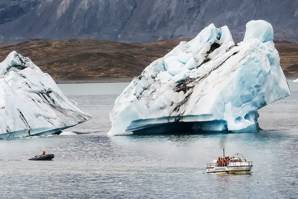
Jokulsarlon
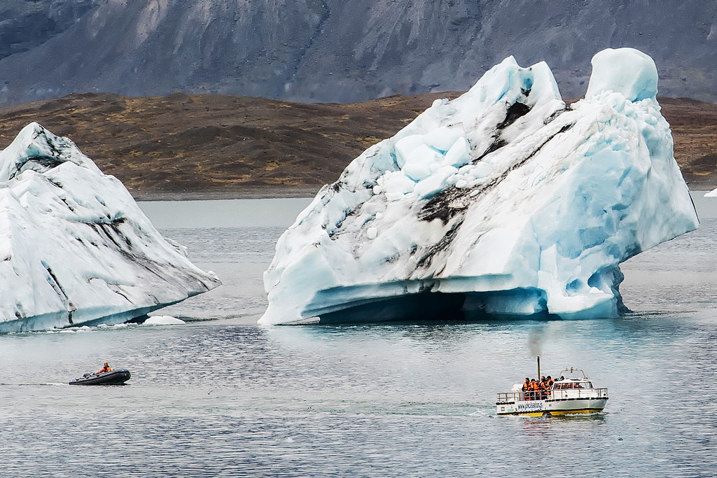
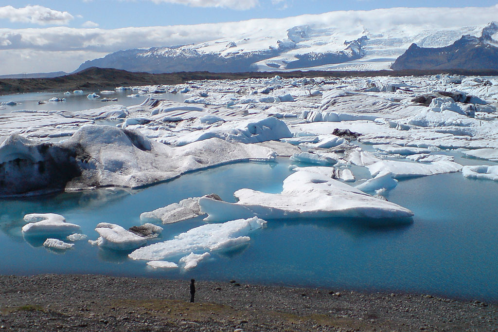
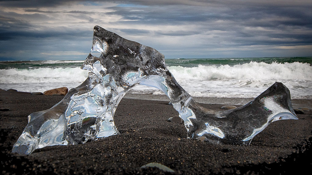
Read more about this magical place: Jokulsarlon lagoon and the Diamond Beach.
Reykjadalur hot river

Reykjadalur
See the detailed article here: Reykjadalur – a hot dip in a mountain stream.
Seljalandsfoss waterfall

Seljalandsfoss
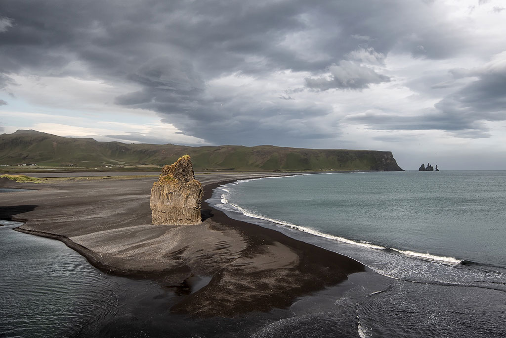
Black beaches and cliffs around Vik
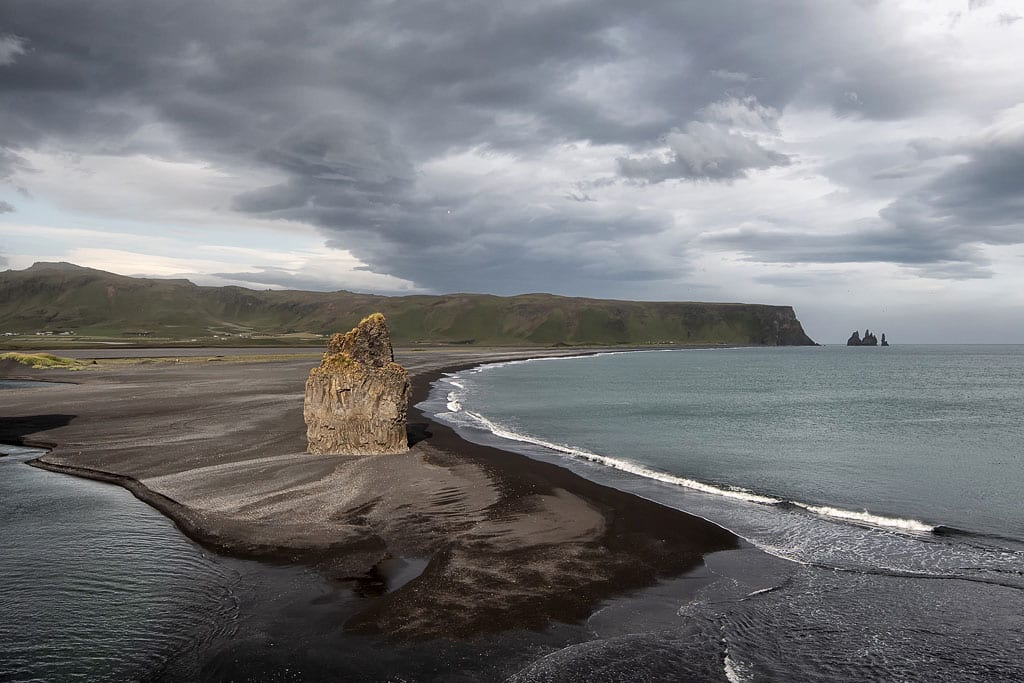
The view from Dyrholaey
A bit farther away, but still close, you can find “Yoda’s cave” (Hjorleifshofdi), a DC-10 plane wreck on Solheimasandur beach, the Solheimajokull glacier and Thakgil canyon (though this one takes a longer detour and is not really on Route 1).
You can learn more about all the attractions of the area from these articles: Vik and nearby attractions
Skaftafell Nature Reserve

Svartifoss with basalt columns
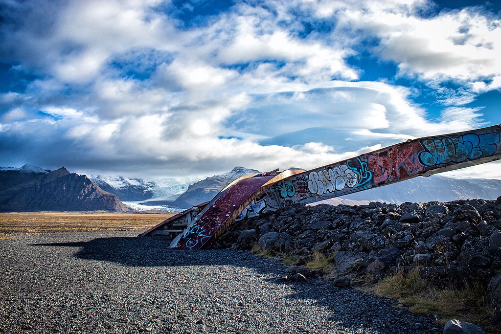
While visiting Skaftafell you absolutely need to go to the Svínafellsjökull glacier (you can even walk on top of it for a little bit) and the remnants of Skeiðará bridge, destroyed by the flood that was caused by a nearby volcanic eruption.
Find out more about all the tourist attractions in the area and very nice hiking trails you can follow: Svartifoss – a waterfall in the Skaftafell nature reserve
Fjaðrárgljúfur canyon (aka Justin Bieber’s)
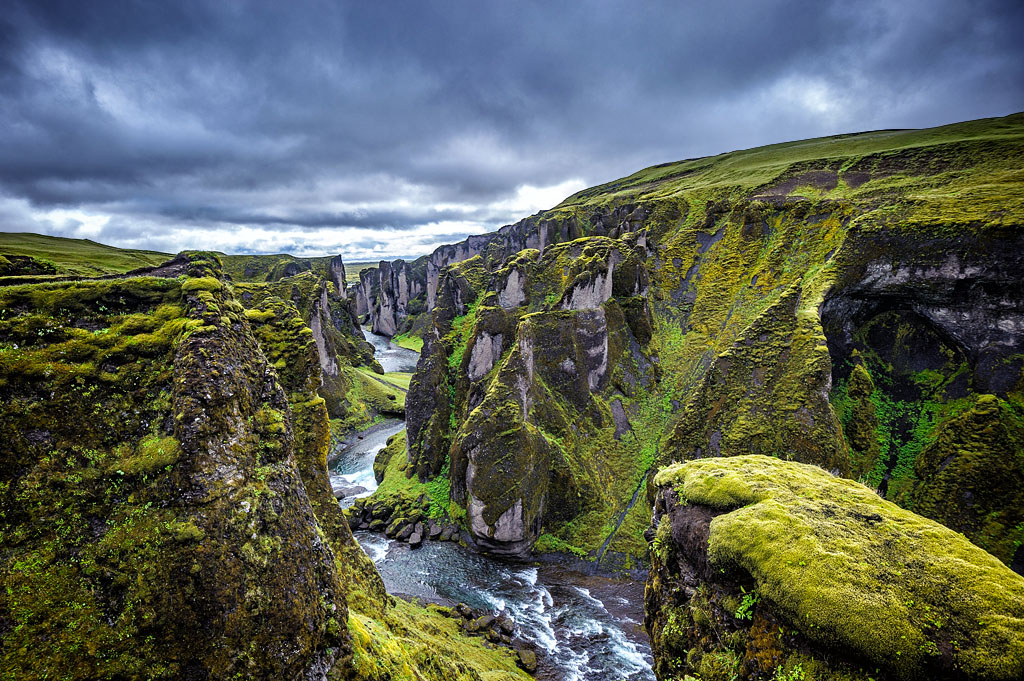
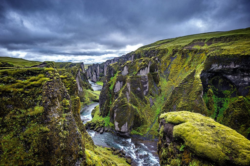 Fjaðrárgljúfur canyon is often, and wrongly, forgotten and overlooked by various guides. It is over 1 km (0.6 mi) long and 100 m (330 ft) wide and offers one of the most picturesque vistas on the whole island. What you see both from the top and the bottom is truly breathtaking, so do consider it while planning your trip. To get there you need to take a detour of some 3 km (2 mi) on a gravel road.
Víðimýrarkirkja church
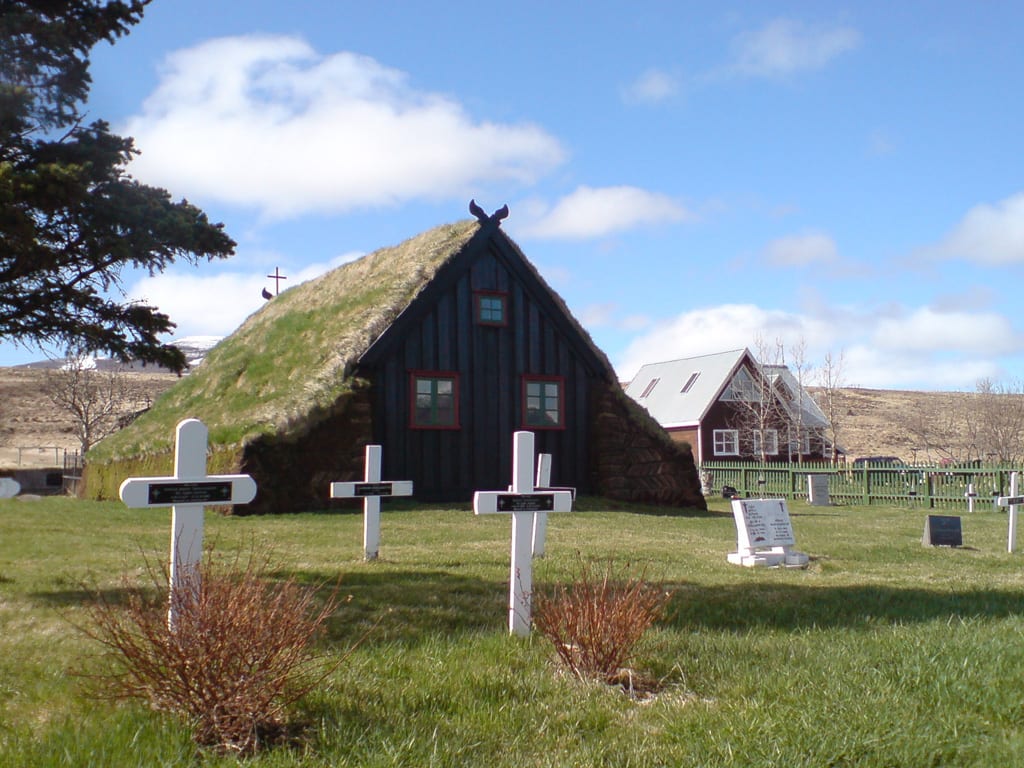
Cemetery behind Vidimyrarkirkja church
Skógafoss waterfall
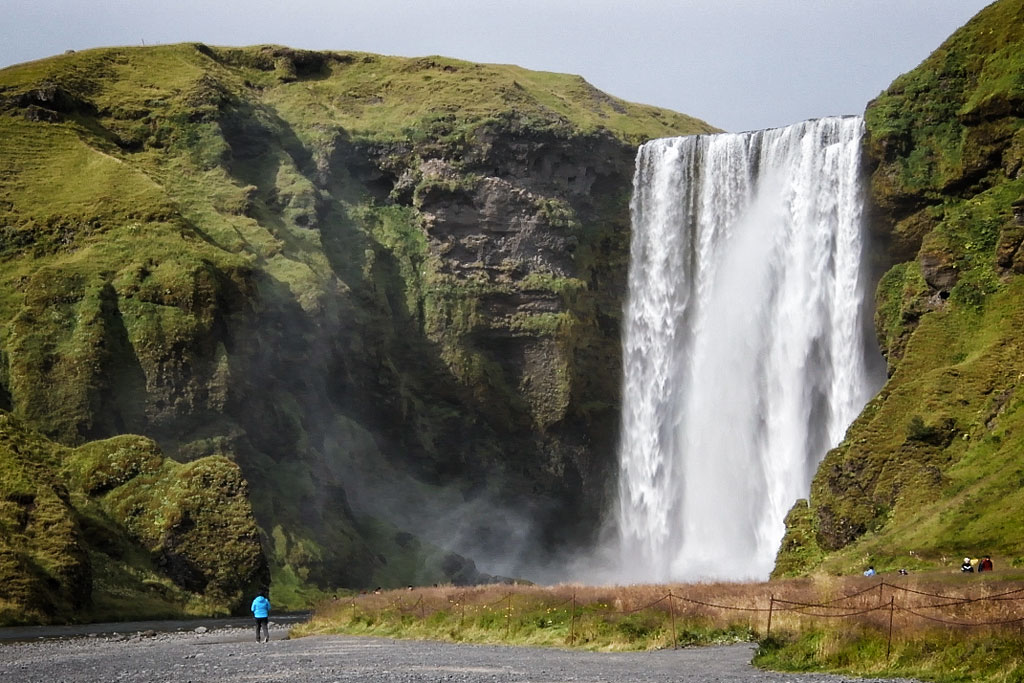
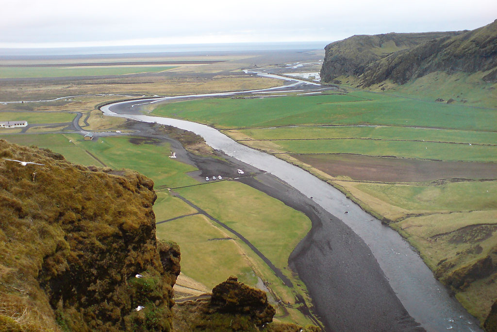
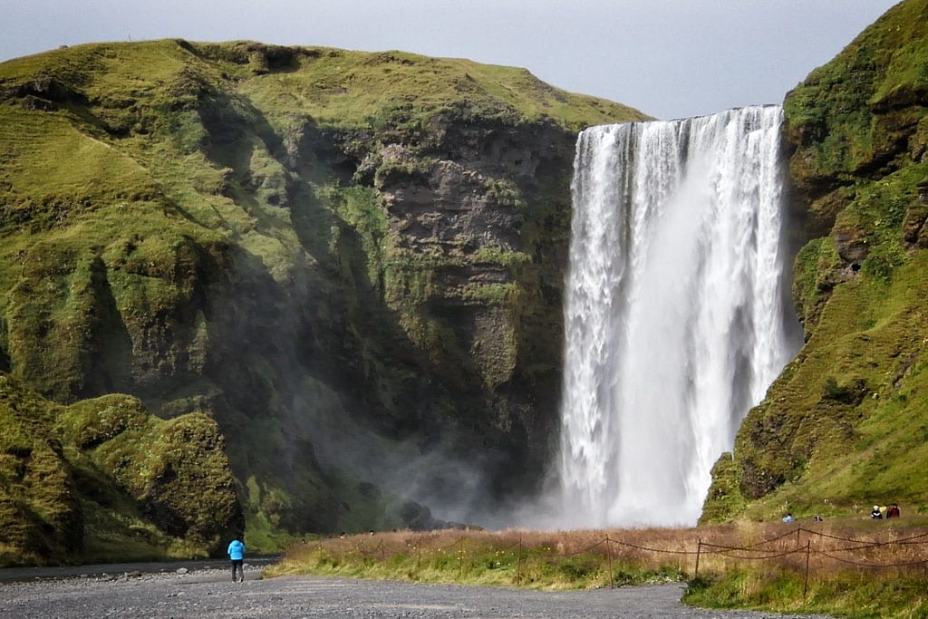 Another top waterfall on Route 1 is Skógafoss. It is a perfect combination of impressive (though not the largest) size, beautiful shape and great location. There are metal steps that lead to the top of the waterfall. The view of the surrounding area and tumbling water is truly amazing and something you will long remember.
Sólheimajökull glacier
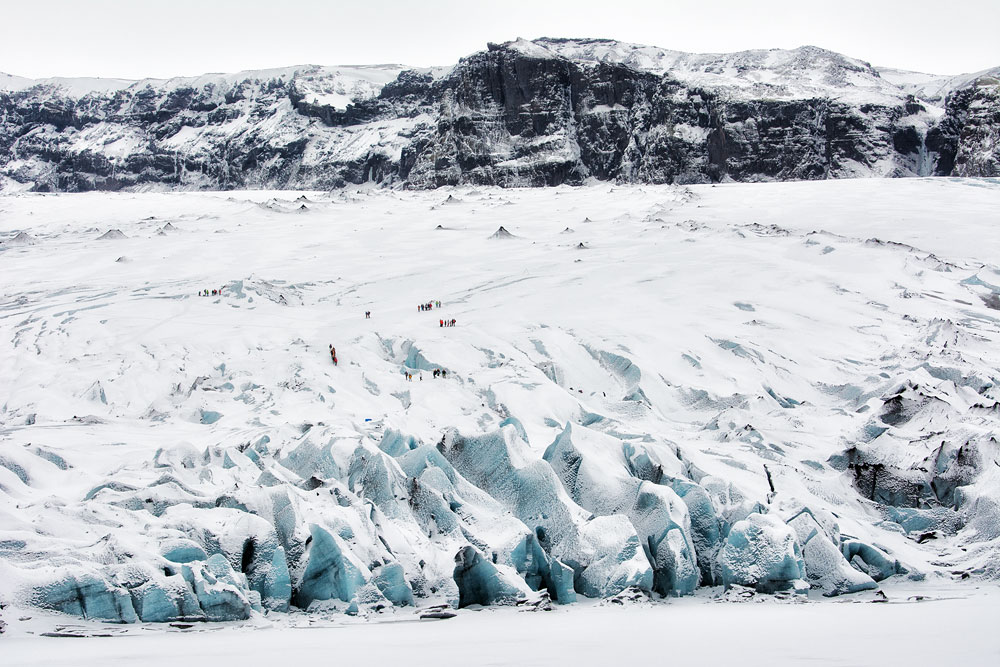
Hikers on Solheimajokull
Sólheimajökull is a part, or rather a tongue, of a larger glacier – Mýrdalsjökull. It is on the Iceland South Coast and the nearby parking lot is about 30 km (20 mi) northwest of the town of Vik.
While there’s plenty of glacier tongues you can see on the South Coast and some of them have a parking lot right next to the tongue’s end (like Svínafellsjökull or Skaftafellsjökull), it is very dangerous to walk on the glacier without extensive experience and proper gear. And so those other places are nice to see, but if you want to get on a tour and actually walk the glacier (and do so safely), you’re best off at Sólheimajökull.
Professional guides lead 3-hour hikes to the Sólheimajökull year-round and it is certainly the best chance to see – or rather: meet – the might of a glacier. A glacier might not look like much from afar, but once you’re on it, it’s an unforgettable experience.
You can book your tour here: Solheimajokull 3-Hours Glacier Hike. It’s about $110 per person and all the necessary gear (and some training) is included.
Extra: Top 10 attractions close to Route 1:
If you have a bit more time to explore and can afford to stop or take a detour, here are the most interesting additional places to see once you are on the Ring Road.
As you’ll notice, some of the places on this part of the list are not individual points of interest, but rather larger areas, full of attractions. We place them at the end of the list exactly because they are not individual spots to see, but rather require a 1, 2 or maybe even a 3-day detour to visit all the interesting places there. You still want to consider them for your trip.
And again – if you’d rather watch it, then read it, or if you’re interested in seeing more about them, there’s a dedicated video on our YT channel which we link below. It’s Polish audio, but subtitled in English – shouldn’t give you issues.
Video: 10 Top Most Important Places NEARBY Route 1 in Iceland.
Húsavík – whale watching cruise
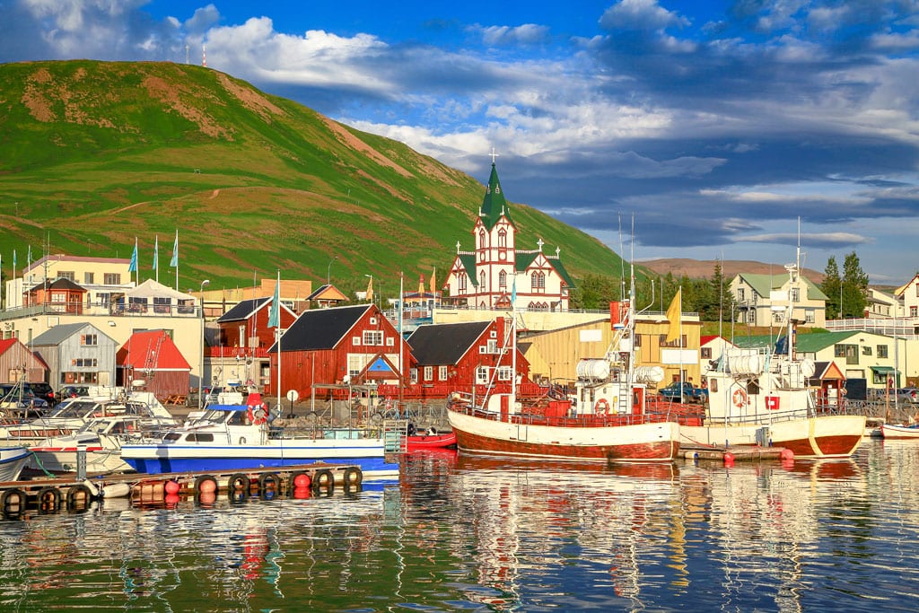
Husavik port
Whale watching cruises in Iceland – how, where, when and how much
Glymur – a trek to Iceland’s second tallest waterfall
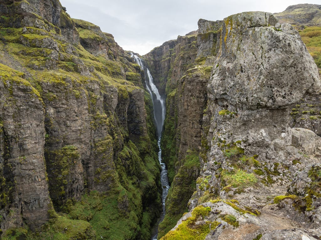
Glymur waterfall
The parking lot at the start of the trail is fairly close to Route 1, but the whole hike takes about 4 hours, so a good part of the day is consumed. This can be perfectly combined with a visit to the Víðgelmir cave and the Reykholt area, as described further down.
Dettifoss waterfall
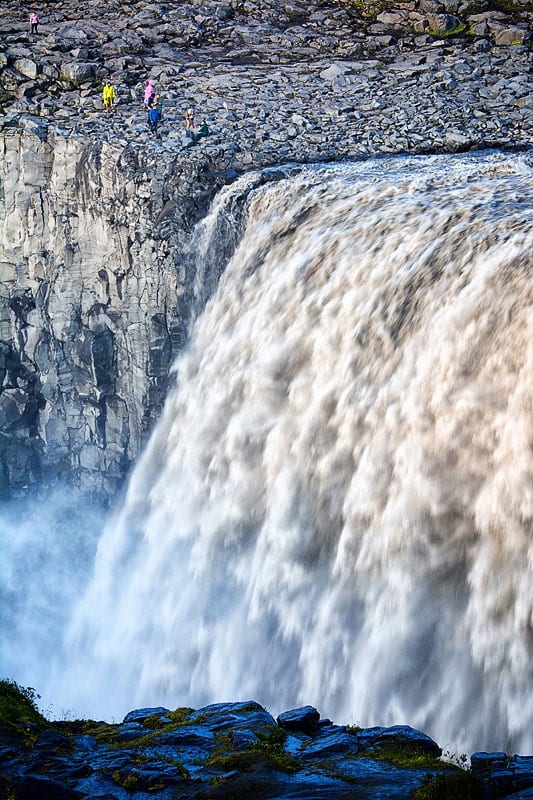
Dettifoss waterfall
Dettifoss usually carries murky, grayish water, as its power and speed pick up a lot of sand from the river bed, so it is not very pleasing to the eye. You can however see it from both sides – east and west – and compare the views. And when you go from one to the other you can stop on your way to visit the Ásbyrgi canyon – a hugely interesting place up north.
Hafrahvammagljúfur canyon
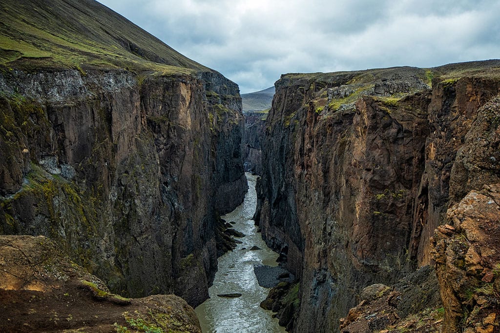
Hafrahvammagljufur
Interestingly, it is one of the canyons that feed a nearby hydroelectric power plant, the largest in Iceland. Its surprising design and somewhat intimidating scale are worth seeing too.
Puffin colony at Hafnarholmi
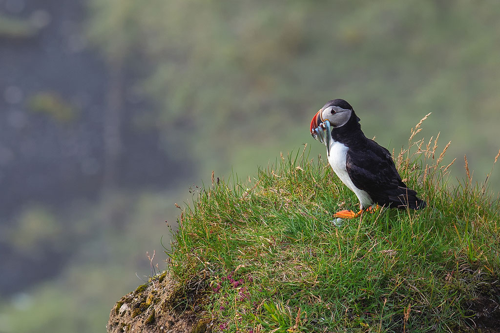
 Hafnarholmi is a tiny peninsula just off the harbor of Borgarfjordur Eystri, in eastern Iceland. Its claim to fame is a large puffin colony that chose this spot as its home ground. The birds are not only numerous, but also can be seen from a very close distance, which is not always the case in other puffin top spots. Some tourists even claim that this is THE #1 place to visit puffins on Iceland.
You can expect the colony to be here from mid-April to late August.
Haifoss waterfall
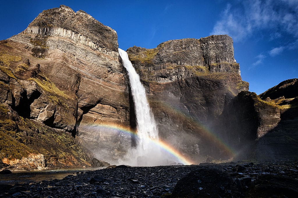
Haifoss waterfall
Alternatively you can park near Gjain and hike on a mostly flat land all the way to the foot of the waterfall.
Víðgelmir cave
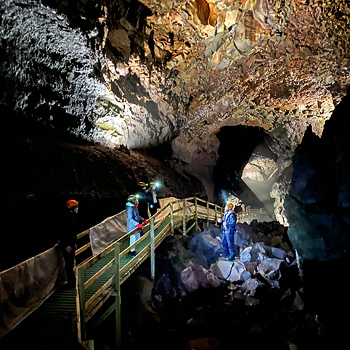
Vidgelmir Cave
If you have an extra day, the area around it is worth it. Close by you will also find Surtshellir (the longest lava cave in Iceland, and still completely wild), the Grábrók crater, Deildartunguhver – the largest geothermal spring in Iceland, the Barnafoss and Hraunfossar waterfalls, and the Krauma Spa. See all the articles about Reykholt and its attractions.
You can book a cave tour here: Cave Explorer.
Snaefellsnes peninsula

Kirkjufell mountain
For all articles about Snaefellsnes and its attractions go here: The greatest attractions of Snaefellsnes.
Westfjords peninsula
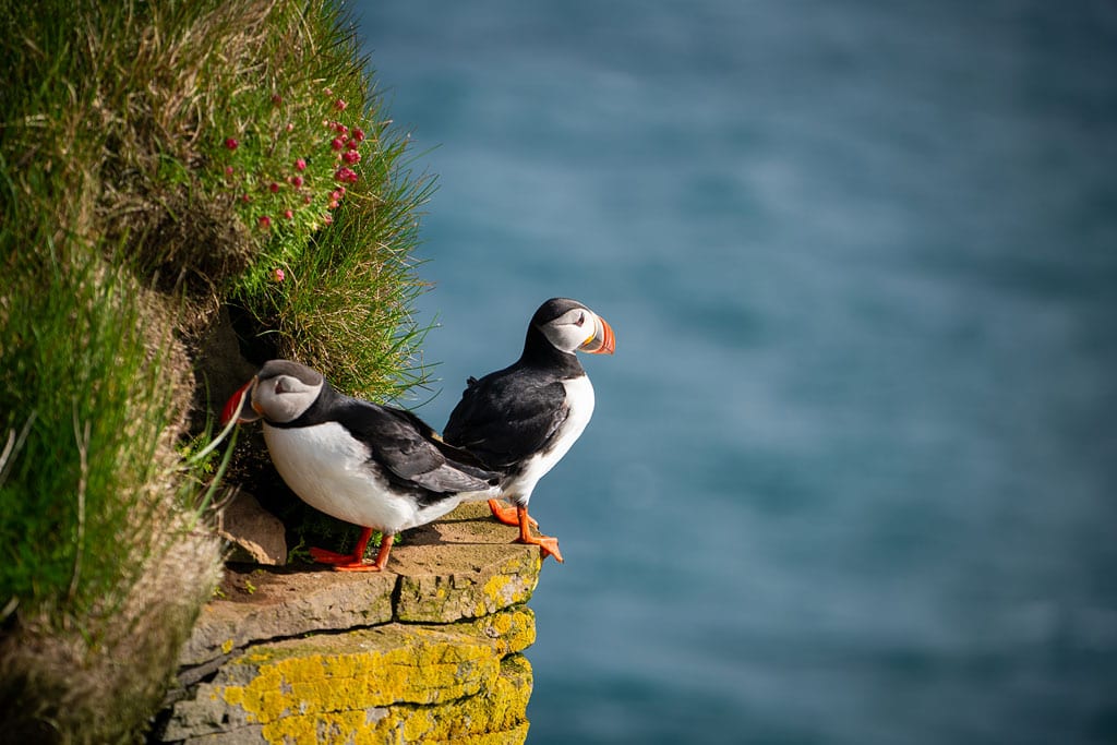
Latrabjarg
Vestmannaeyjar archipelago
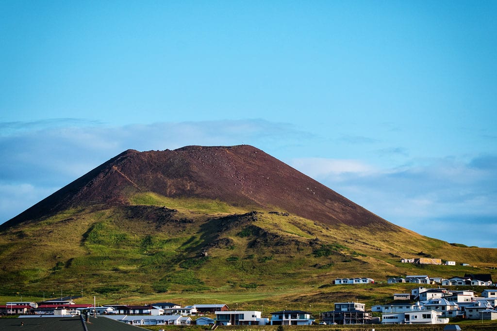
Eldfell volcano
Summary and a photo gallery of Route 1 attractions
It is impossible to list every attraction Iceland has to offer, but we hope this article fills your drive around the island with great places and gets you out of the car as often as possible. Wonders of nature at every step and landscapes that change with every bend of the road are what will keep Iceland in your memory for a long time.

![Reykjadalur – Around Iceland – a 7 to 13-day Itinerary for Spring to Autumn [Complete Self Drive Guide]](https://rumbomundo.com/wp-content/uploads/2023/05/Reykjadalur-1.jpg)