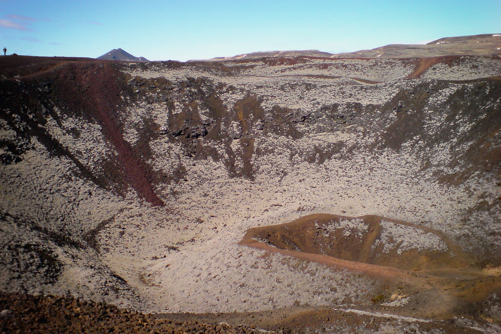
Grábrók is an interesting volcanic crater that can be easily accessed from a nearby parking lot.
The beauty of Iceland’s rugged nature
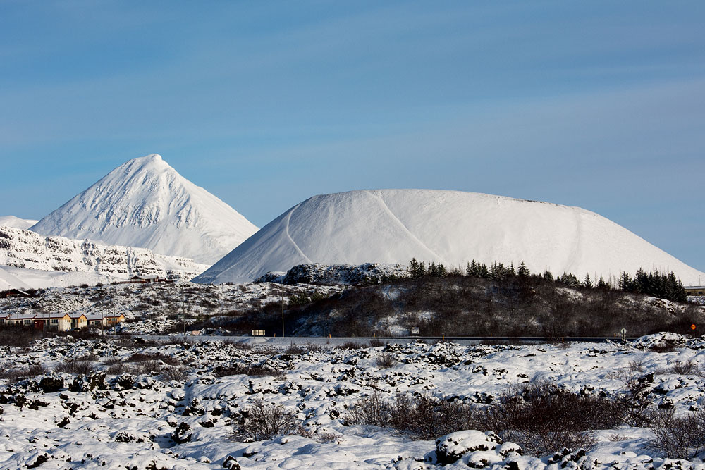
Grabrok volcano is part of the Ljósufjöll volcanic system, whose main crater lies as much as 60 km (37 miles) further west. It was formed in an eruption some 3,600 years ago. It is the largest of the three craters in its volcanic rift.
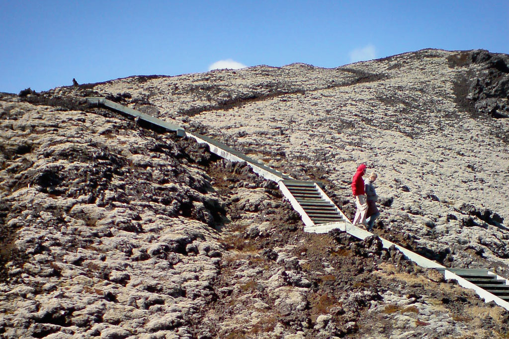
It is easily accessible from the parking lot on the ring road and provides a great opportunity for a short walk. Since it is quite steep and high (170 meters, 560 feet), steps and platforms have been built on parts of it to facilitate the hike.
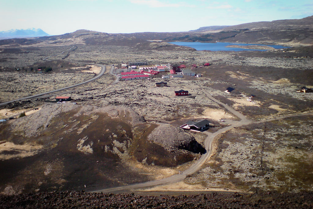
Of particular note is the picturesque view from the top. The moss-covered lava fields, the area around Borgarfjordur and the surrounding mountains, as well as human homes, wonderfully illustrate the rugged beauty of Icelandic nature.
How to get to Grabrok volcano
The volcano lies just off Highway 1, near its intersection with Highway 60, which branches off toward the West Fjords.
It’s about 2 km (1.2 miles) northeast of Lake Hreðavatn and the village of Bifrost (Bifröst). At the same time, it’s about 10 km (6 miles) west of Reykholt, and it’s probably best to combine a visit to Grabrok with a tour of the area.
Right next to the volcano there is a public parking lot. The entrance to the hiking trail is on its left side.