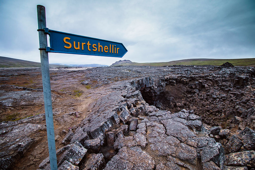
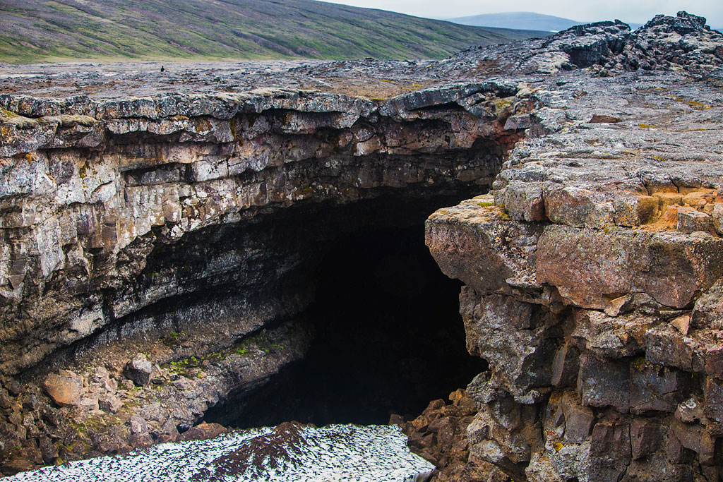
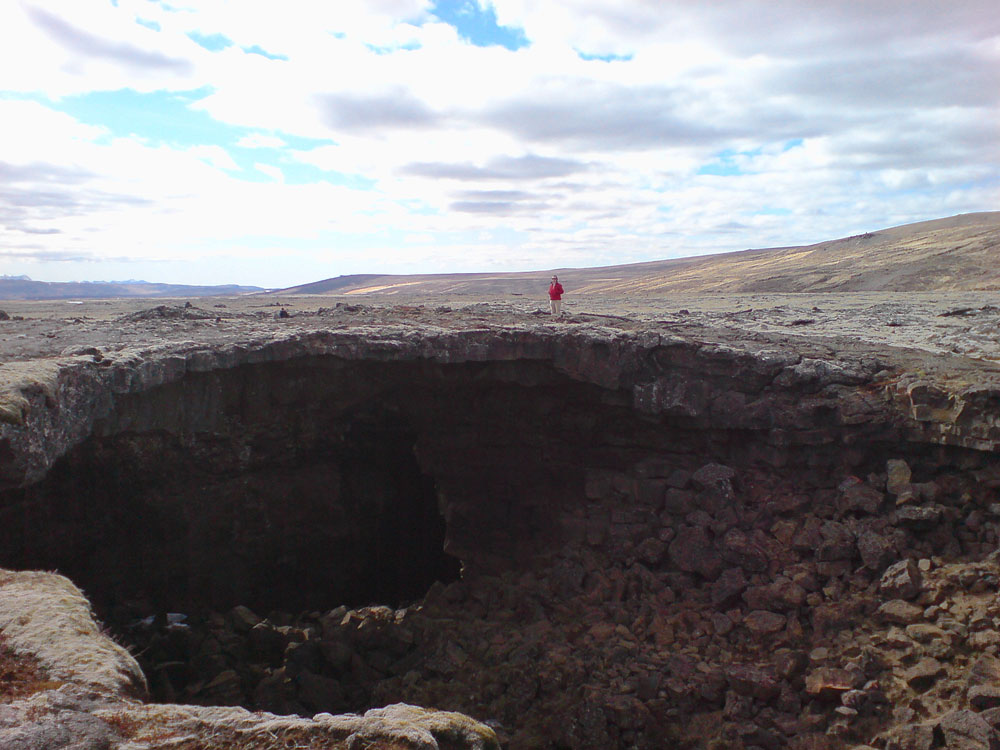
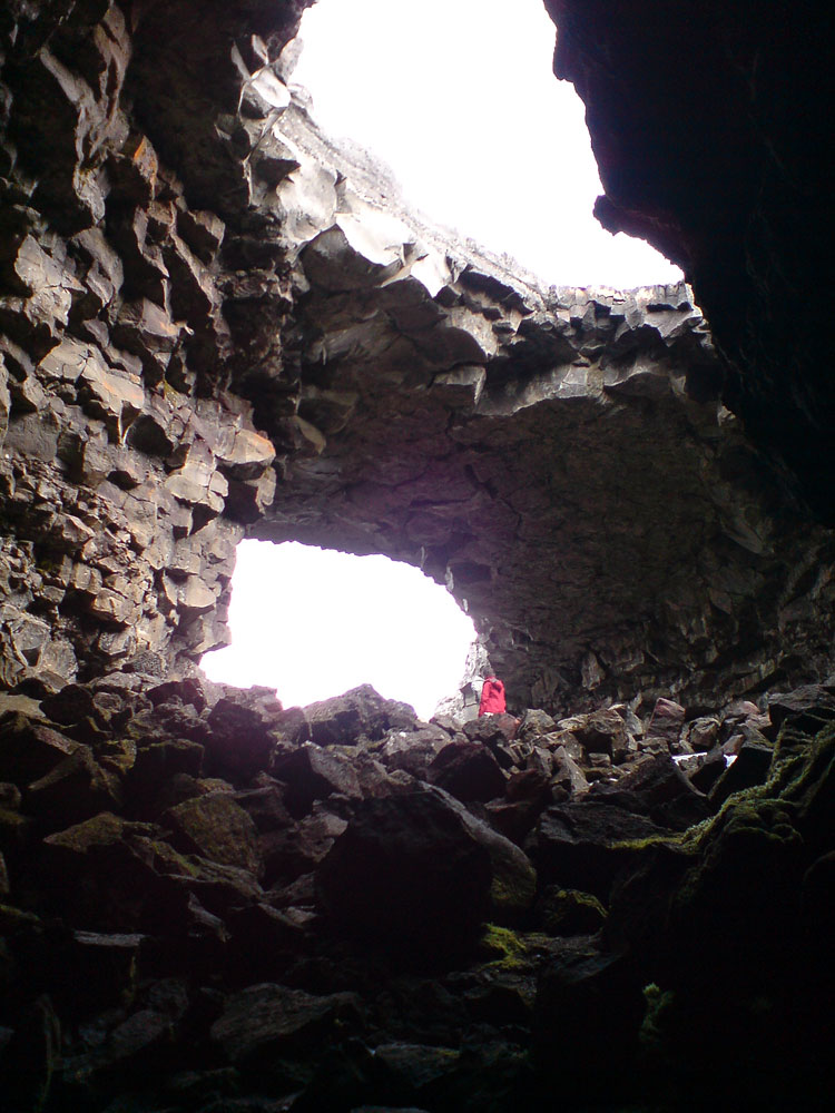
Surtshellir, named after Surtr, the fire giant of Norse mythology, is one of the longest lava caves in Iceland. It lies in the Kalmanstunga area, northeast of Reykjavik, in the Hallmundarhraun lava field – a flow about 52 km (32 miles) long that poured out of a crater row by the western edge of the Langjökull glacier around the year 900. Of the many caves in this lava, Surtshellir is the best known.
According to the information board at the entrance, Surtshellir itself is 1,970 m (6,460 ft) long. To the northeast it continues as the Stefánshellir cave, with 1,520 m (4,990 ft) of maze-like passages, so the whole Surtshellir-Stefánshellir system measures about 3,490 m (2.2 miles). That is why Surtshellir was long considered the longest cave in Iceland. The longest single lava cave known today is Kalmanshellir in the same Hallmundarhraun lava field, about 4 km (2.5 miles) long. However, it is protected, part of it is closed to everyone, and entering the rest requires a special permit from the Icelandic Nature Conservation Agency – so it is not a cave you can visit on your own.
Unlike much better-advertised caves such as Vidgelmir or Vatnshellir, Surtshellir remains completely wild, and it costs nothing to enter. This also means that without caving gear and a good light source, you won’t get far inside. Still, anyone in reasonable shape can at least step into a real, wild lava tube here (at their own risk!).
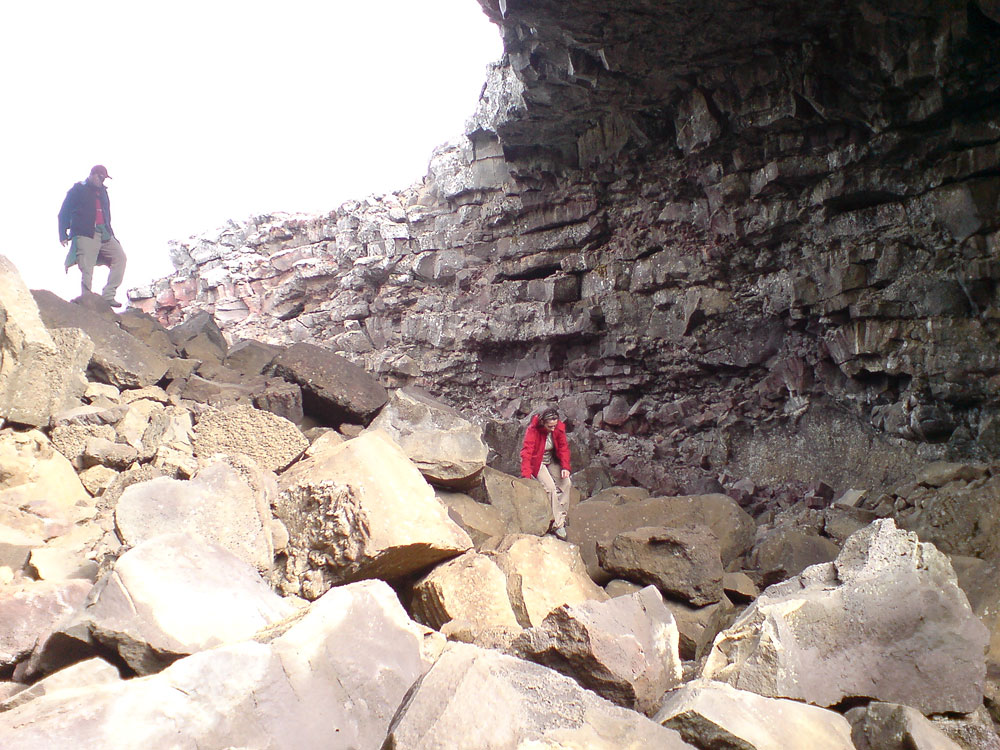
The cave’s ceiling reaches about 10 m (33 ft) at its highest point, and the tunnels are up to about 15 m (50 ft) wide. The deepest part of Surtshellir is called the Ice Cave (Íshellir). Inside, you can see unusual ice formations and beautiful columns.
The volcanic walls of the cave are made of glassy layers of solidified lava and basalt. The floor is often covered with ice and with chunks of lava that have fallen from the ceiling.
Legends and archaeology
Surtshellir is mentioned in the medieval Landnámabók (The Book of Settlements) and the Sturlunga saga. According to legend, in the 10th century the cave was a hideout for outlaws who stole livestock from the farmers and shepherds living in the area. For a long time, the bones of sheep and cattle found in the tunnels, along with a stone wall built inside the cave, were taken as proof. The first survey and map of the cave were made in 1756 by Ólafsson and Pálsson.
Archaeologists now read these finds differently. The bone fragments and rock piles have been dated to around the year 1000, and a study published in 2021 places them in the Viking Age and interprets them as traces of ritual offerings, made for decades until Iceland converted to Christianity around the year 1000.
| Surtshellir Cave – details | |||
|---|---|---|---|
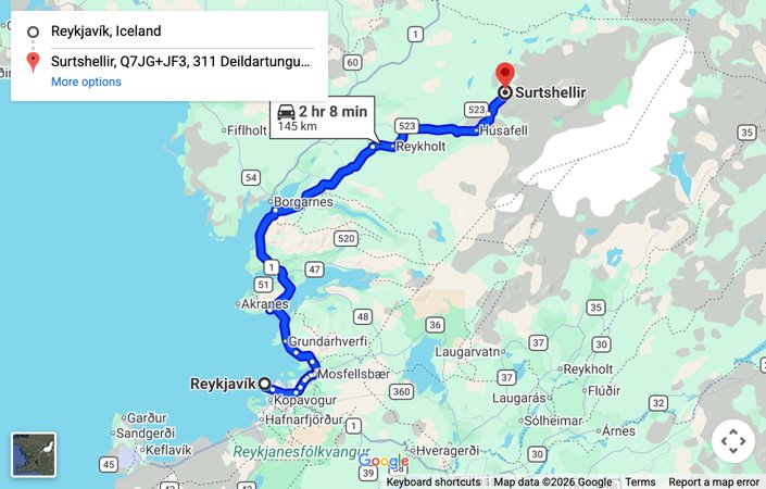 Map: driving route from Reykjavik to the Surtshellir cave — click to open the interactive map | |||
| location | West Iceland | ||
| GPS coordinates | 64.82418567422766, -20.701035357453392 | ||
| length of the cave | 1,970 m (6,460 ft); with Stefánshellir 3,490 m (2.2 miles) | ||
| entry | free | ||
| remarks | Self-guided, at your own risk. No visitor facilities in the cave. Access via mountain road F578 (4×4 only). | ||
How to get to Surtshellir
From Reykjavík, take Road 1 north and, before Borgarnes, turn onto Road 50 (Borgarfjarðarbraut). Then follow Road 518 toward Reykholt and Húsafell (the same way as to Vidgelmir), past the Hraunfossar and Barnafoss waterfalls, and turn onto F578. After about 8 km (5 miles) you will reach the cave. The cave has several entrances.