


Iceland is magical, full of unimaginable landscapes and vistas. Many of them can be found near the country’s main circular road #1. There are, however, a few absolutely spectacular places in the Interior, available only during the summer months and only for 4×4 vehicles. These places alone are a reason to plan your Iceland trip for the summer. Find out what is especially worth visiting in the Icelandic Interior (highlands).
Top places to see in the Icelandic highlands: map and photos
Top 10 lists tend to be subjective and open to debate. Nevertheless, I am absolutely convinced that at least the top four items on my list are really, really worth visiting. You may even want to modify your plan to make sure you find the time to go there. These are: Landmannalaugar, Kerlingarfjoll, Askja and Thorsmork.
The remaining 6 items on this top 10 list, as interesting, beautiful and unique as they are, are worth visiting when you happen to be in the area and taking an F-marked road is not a problem for you. Otherwise, well… you won’t be able to see ALL the beautiful spots in Iceland anyway, unless you have a month or two.
See the map and photos from these top 10 places below and read further for more detailed descriptions and travel tips.
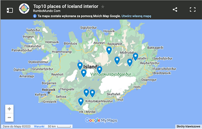
Map: Top 10 Places in Iceland Interior.
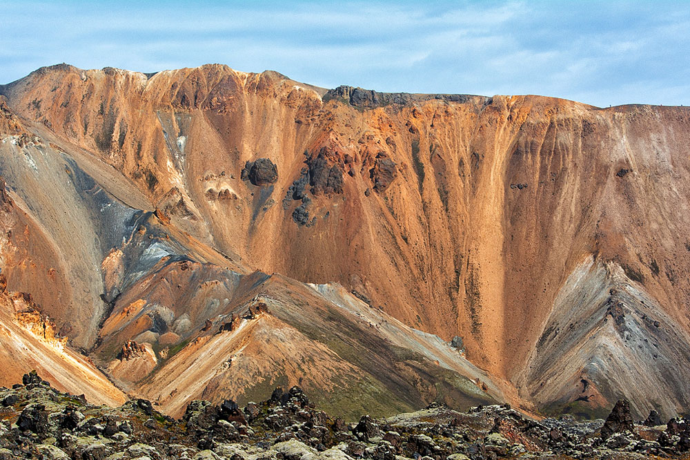
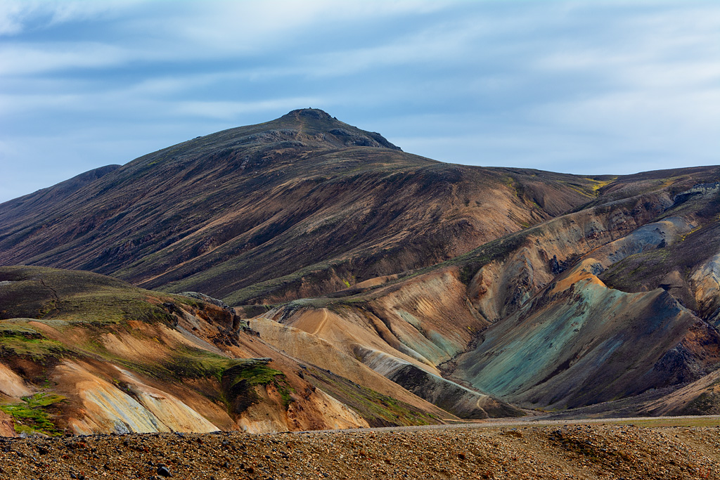
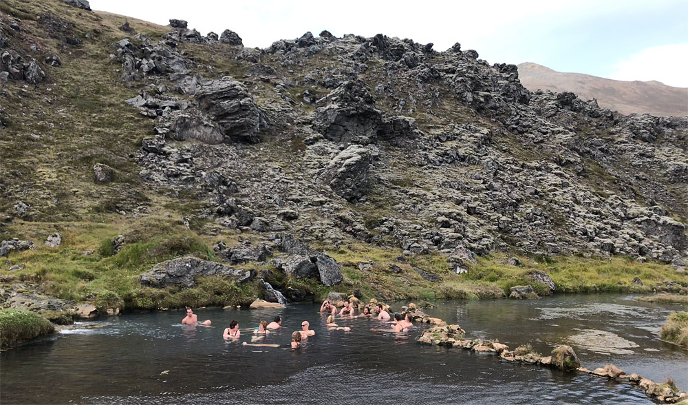
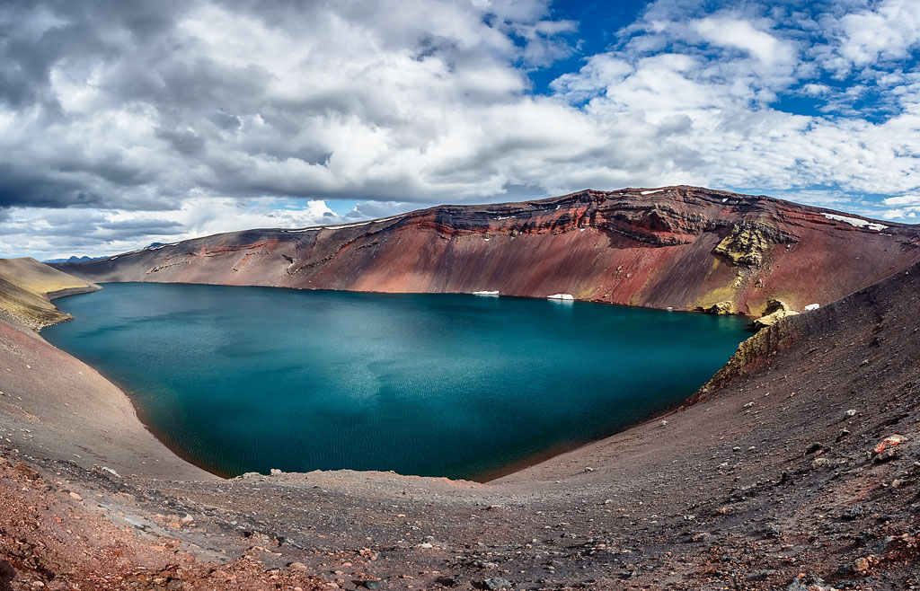
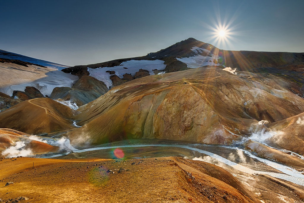
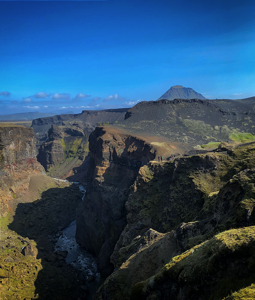

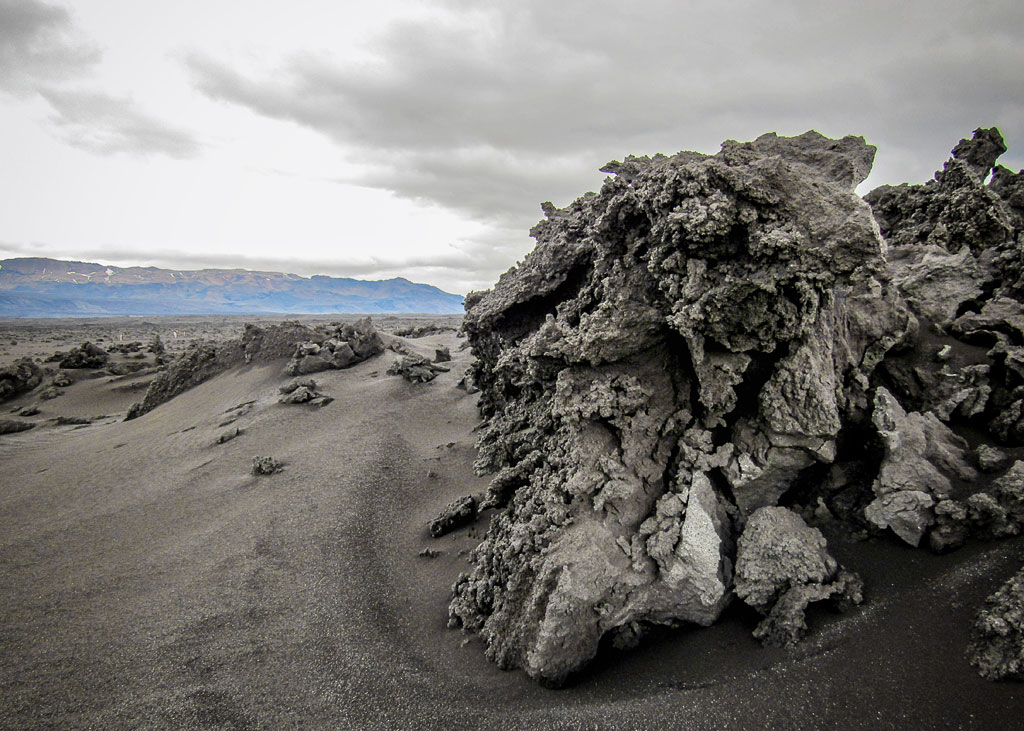

Landmannalaugar
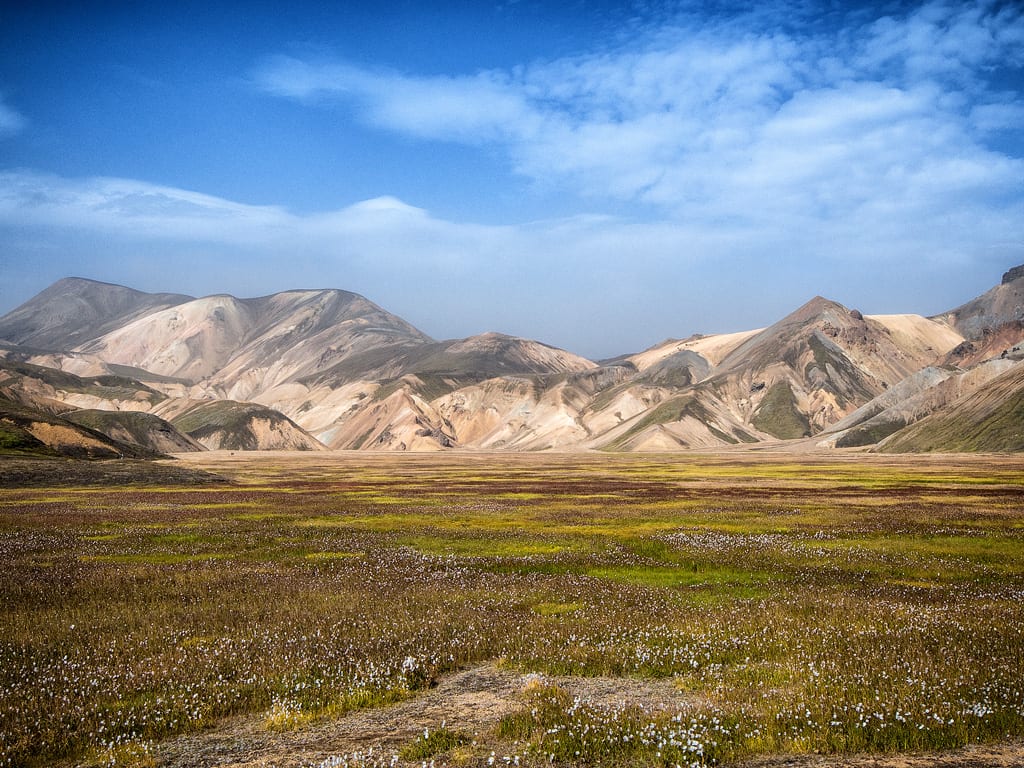
Rainbow mountains of Landmannalaugar
You can get to Landmannalaugar rather conveniently by bus from Reykjavik. During the summer months there are at least two such bus services.
When you get here you can choose between countless activities, sights and hiking trails, whose lengths and levels of difficulty range from simple walks taking a couple of hours (like a hike to the top of the rainbow volcano Brennisteinsalda) to multi-day hikes that require considerable fitness and logistics. After your excursion you can enjoy a well-stocked shop and fantastic hot pool.
For more information read here Landmannalaugar – fairytale-like rainbow mountains.
Kerlingarfjoll
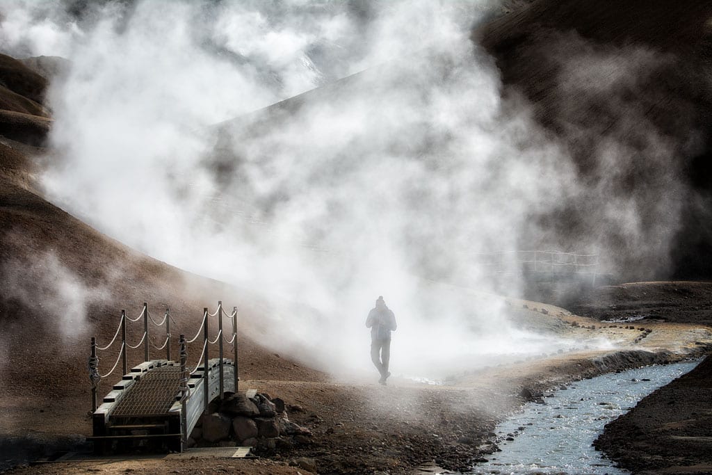
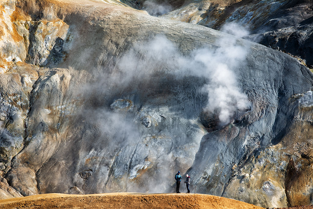
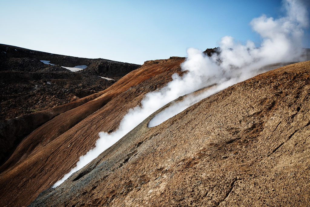
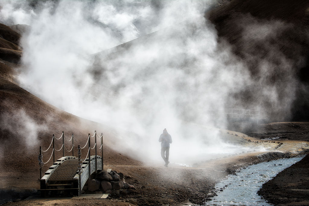
Water vapors in Hveradalir (Kerlingarfjoll)
Among the colorful hills sits Hveradalir – hot streams, muddy pools and fumaroles with a slight smell of sulfur. Clouds of steam floating over these vibrant, dreamlike highlands give the place a healthy dose of magic.
There are 3 mountain shelters in the area, one of which is quite accessible (by a 4×4 or bus). The surface temperature – just the surface! – of one of the hot springs here was measured at more than 150 °C (302°F)! This place is really worth seeing – read more about it here: Kerlingarfjoll – colorful boiling mountains.
Thórsmörk
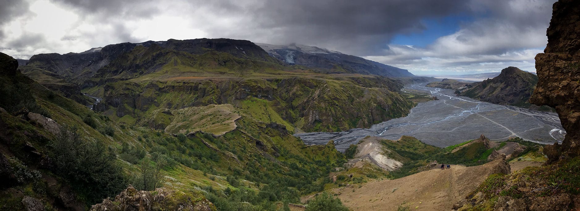 Thorsmork (Icelandic: Þórsmörk) is a region in southern Iceland, between the Tindfjallajökull, Mýrdalsjökull and Eyjafjallajökull glaciers. It is hard to get here, but one of the shelters runs lifts in their own ‘super jeeps’ even in winter.
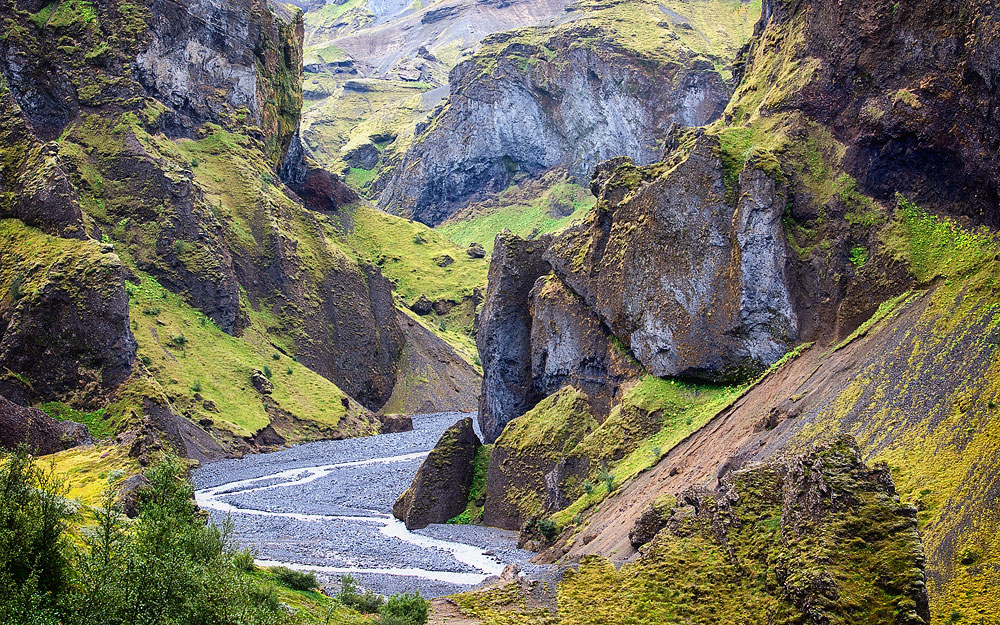
The area is rather warm, with a climate much milder than the rest of the south. Therefore, you can see rather lush greenery here – bright green moss, ferns, smallish shrubs and birch trees. The name Thorsmork means literally ‘Thor’s forest’ and even though you won’t find here anything that resembles a Central European forest that you may be used to, Icelanders love this region mostly for its plant life.
There are three (and in some sense even four) shelters in Thorsmork. The area is crisscrossed by gorges, and some of the most spectacular places are connected with hiking trails, including Laugavegur (going to Landmannalaugar), the most popular trail in Iceland, and Fimmvörðuháls (up to Skogar).
When you plan your trip, better take more than a day in this amazing region. Find out more useful tips and info in a series of articles about various spots in Thorsmork. Best to start by reading this piece Thorsmork – Thor’s legendary forest.
Askja
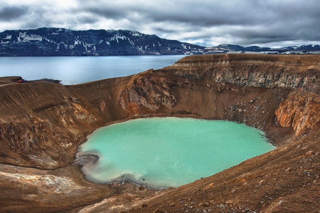
Askja – lake Viti
And it is this second, smaller lake – Viti (not to be mistaken for Viti in the Krafla range) – that is the reason why you want to come to Askja. Due to its geology the lake maintains its pleasant temperature of slightly less than 30 °C (86°F) and you can take a swim here all year round. And surely, having a dip in the crater of an active volcano is something worth a bit of sacrifice.
To reach Askja you need a 4×4 vehicle, but which road to choose is dictated by a combination of several factors. There is a seasonal shelter and campsite in immediate vicinity. A bit farther you can find a few smaller huts that are only accessible on foot.
This is also where the western section of road F910 starts, probably the roughest road in Iceland (you need to have virtually all day to cover these 120 km, or 75 miles). Day trips to this place, with 4×4 buses, operate from the nearby town of Reykjahlid in the Myvatn region.
Read more about this stunning place: Askja – swimming in a volcano.
Hafrahvammagljúfur
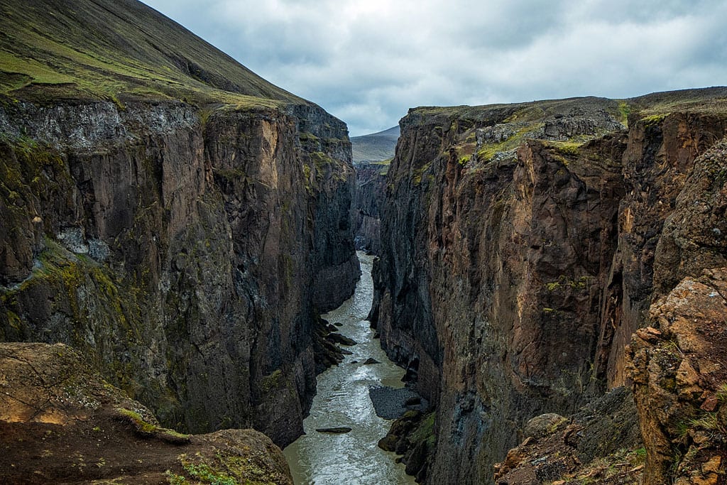
Hafrahvammagljufur
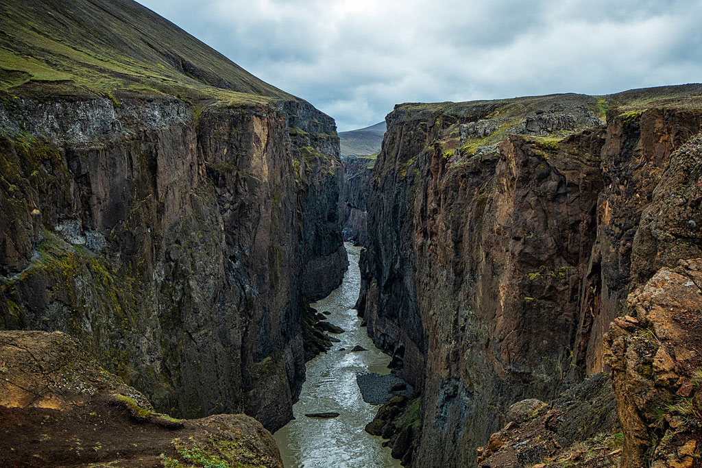
It is the largest and most extensive canyon in all of Iceland. It comprises two canyons, really: Hafrahvammagljúfur and Dimmugljúfur. This huge canyon is about 8 km (5 miles) long, stretching from the northern part of the Vatnajökull glacier toward the glacial valley of Jökuldalur. The crevice between the 200-meter (650 ft) walls is 100-150 m (330-490 ft) wide and it was formed by the river Jökla. Between the steep walls you find yourself in twilight and in this light the canyon looks very narrow and extremely powerful at the same time. Looking down from the top you see a beautiful and majestic landscape illustrating the sheer power of nature.
At the beginning of the canyon stands one of the dams of the remarkable Fljótsdalsstöð hydropower plant. Even though you can’t see much of the installation from the surface, its sheer scale is worth a look.
If you need a place to stay near the canyon, this one is the best Laugarfell – eastern gate to the Icelandic Interior.
For more about the canyon, power plant and places to see in the area go to this article: Hafrahvammagljúfur – beautiful and gigantic canyon in eastern Iceland.
Aldeyjarfoss
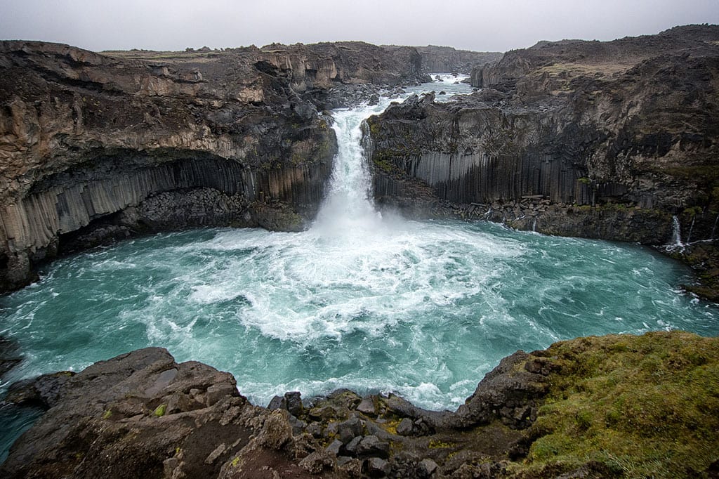
Aldeyjarfoss
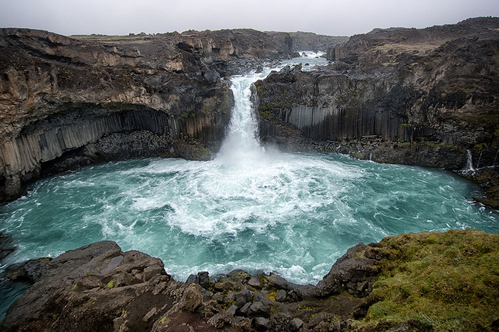
As very few people have ever heard of this place, it is often omitted in travel plans, which is a mistake. It is really worth taking a 40 km (25-mile) detour from the main road to the Bárðardalur valley, where you can admire this astonishing marriage of black rocks and pale blue frothy water falling over them.
If you plan to take one of the two famous north-south routes – F26 (Sprengisandsleid) – Aldeyjarfoss is a must-see on your way.
Here you can read more about this striking place: Aldeyjarfoss – one of Iceland’s most beautiful waterfalls.
Stuðlagil
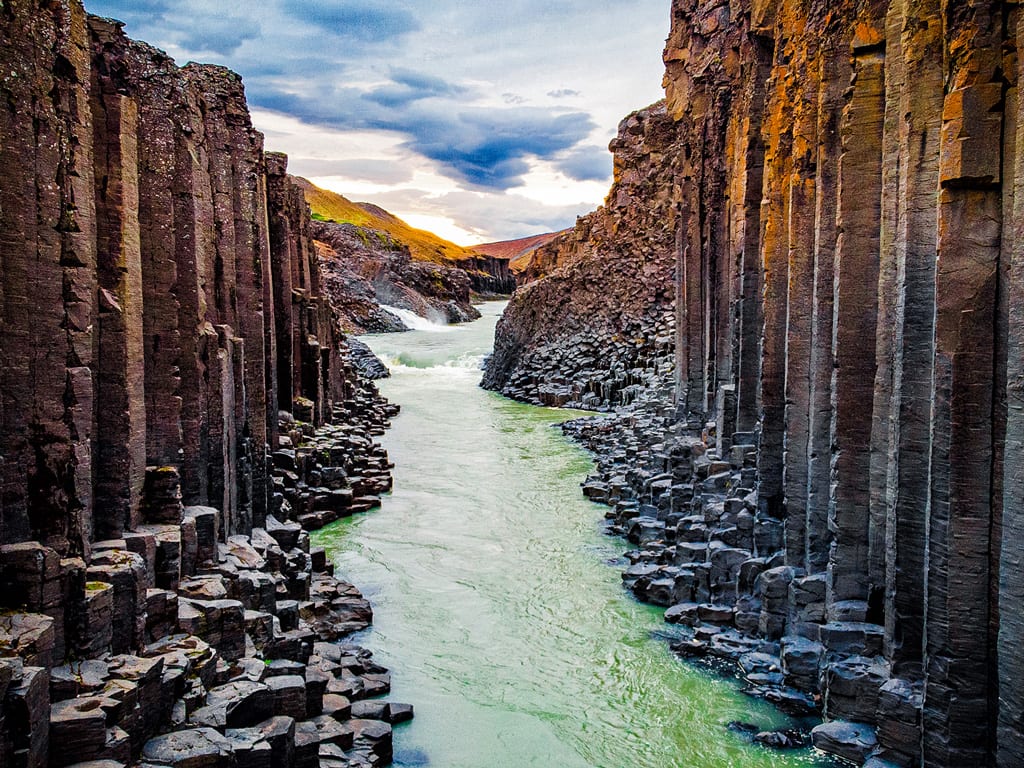
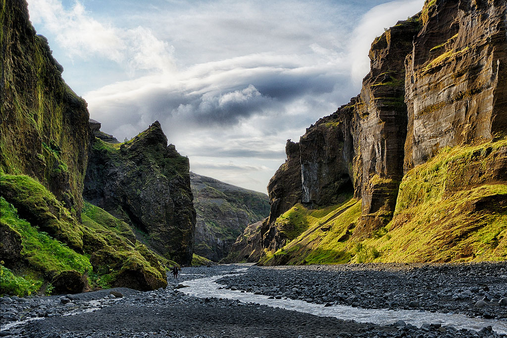
Basalt columns in the Studlagil canyon
It is not difficult to get here, but making your way down to the bottom of the canyon and properly seeing it simply takes quite a lot of time.
Everything you need to know about this charming place is here: Studlagil Canyon – one of Iceland’s hidden gems.
Eldgja
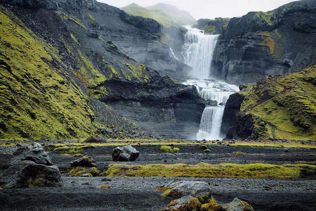
Ofaerufoss waterfall
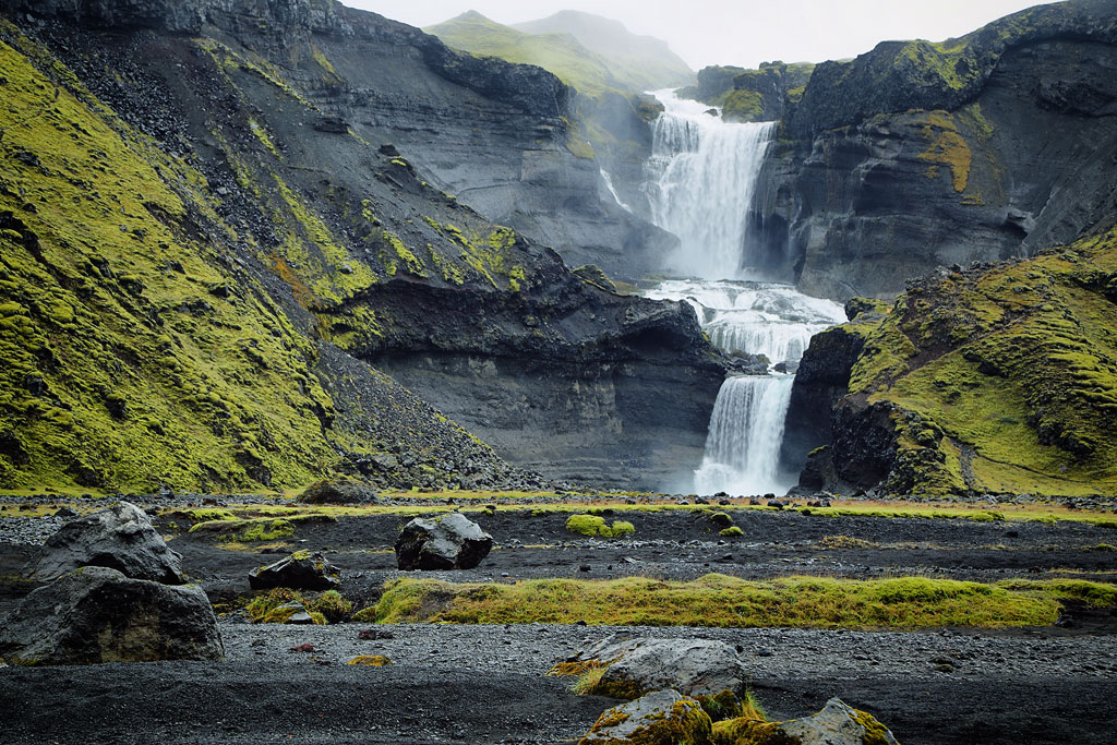
Eldgja looks the most splendid from the two-tier waterfall called Ofaerufoss, on the Nydri-Ófæru river running into the canyon.
To reach Eldgja and Ofaerufoss you need a 4×4 vehicle because the access road F208 is rather rough and has a few streams you need to cross on the way.
Find out all you need to know to get here, park and plan your trip as well as what to expect Eldgja and Ofaerufoss – the fire canyon and impassable waterfall.
Hveravellir
 Hveravellir is a geothermal area full of hot springs, bubbling mud pools and hissing fumaroles. It is located in western-central Iceland, in the northern part of the Langjökull glacier, close to road 35 (traditionally referred to as F35, even though it dropped its “mountain-road” letter F a few years ago).
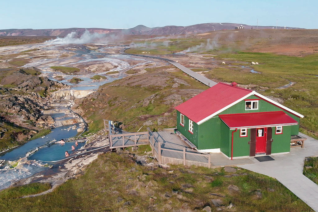
There is a shelter with an excellent restaurant in Hveravellir as well as a humble campsite. Fans of outdoor pools can relax in a fresh-air hot spring.
It is not difficult to get to Hveravellir and you don’t need to cross any rivers or negotiate steep hills. Road 35 is no longer considered a mountain road for a reason… So if you are venturing into the Icelandic Interior for the first time, Hveravellir is a great place to start. Read more about this area here: Hveravellir – a shelter surrounded by hot springs.
Nýidalur
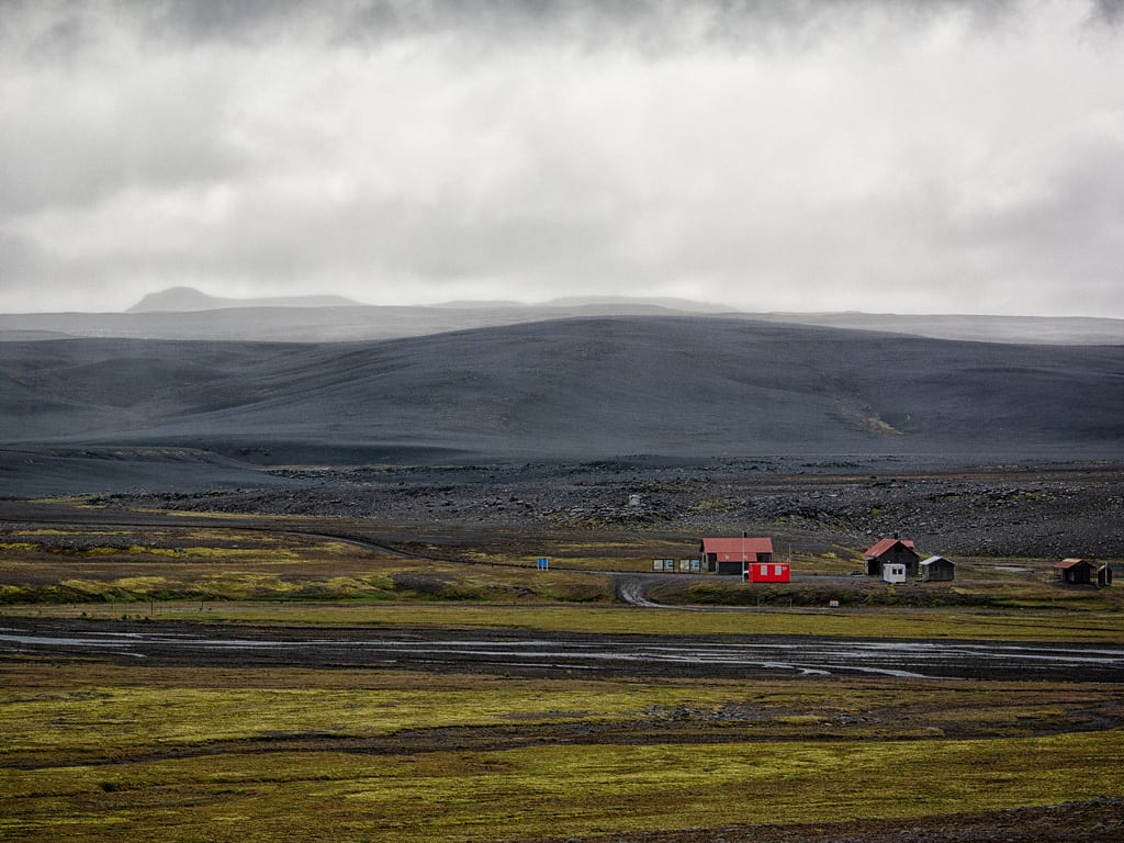 The highland plateau Sprengisandur stretches between two glaciers – Hofsjökull and Vatnajökull – and it used to be the main route connecting North and South Iceland. It is about 200 km (125 miles) long. Somewhere mid-way, in the center of the country, you come across Nyidalur – a small settlement with a campsite, shelter and cabins.
If you drive along this road, you need to stop here for a day or two. It is a perfect place to enjoy wild nature and the raw beauty of the surrounding landscape in central Iceland. Nyidalur is also a great basecamp for trails leading to the Vonarskard lava field – toward the Vatnajokull glacier and the volcano Bardarbunga.
Read about different trails that you can take from here: Nyidalur – valley on Icelandic Highlands.
How to get about in the Icelandic Interior
There are several ways to travel into the Interior. The best and most popular one is to hire a 4×4 car – we go through the whole subject in a separate article: renting a car in Iceland.
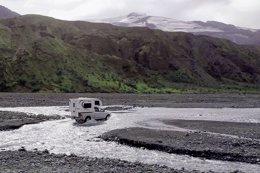
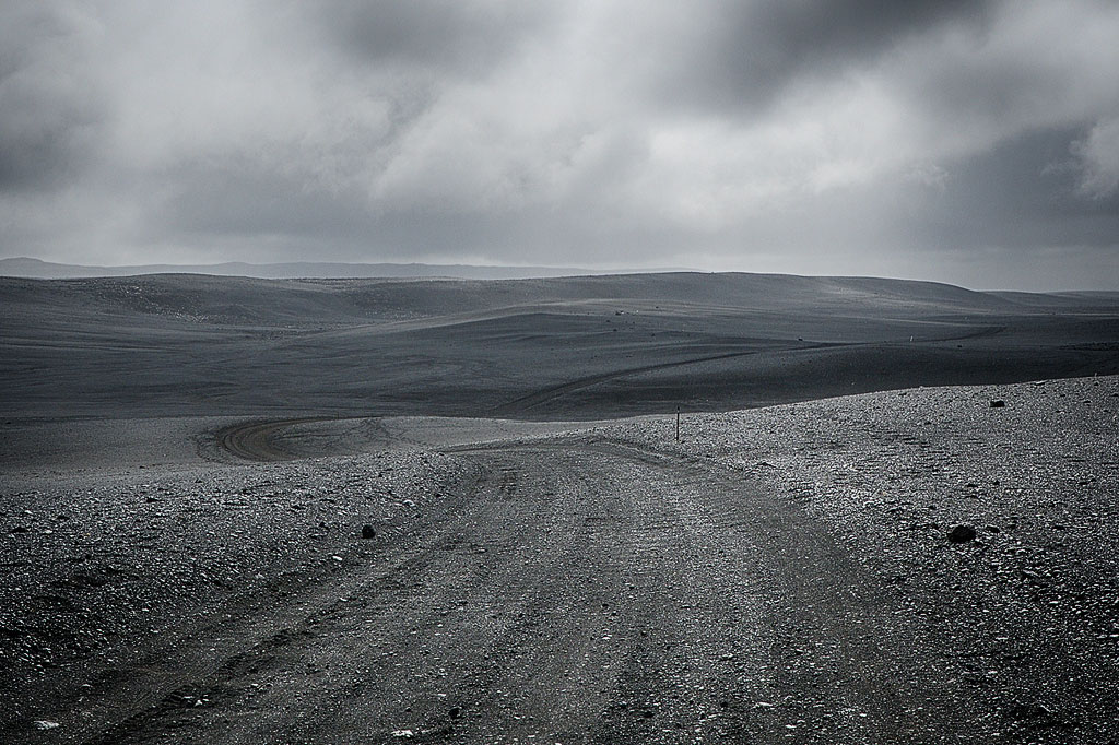
Nearly all the roads leading into and through the Interior are gravel roads. They wind through wetlands or snow and you encounter many steep climbs. You will have to cross many fords and streams without bridges. A 4×4 lets you safely negotiate even tough road conditions without getting stuck or skidding. If you want to explore the Interior, do not risk it in a regular car – it may soon turn out to be not powerful enough.
If you don’t want to rent a 4×4 but still want to see at least a piece of the Interior, the easiest option is the bus to Landmannalaugar. Drive to the Rjupnavellir campsite and change there for the bus. Buses run several times a day, so you can do it as a day trip that starts and ends at Rjupnavellir, or stay longer – camp in Landmannalaugar, take a bunk in the hut there, or walk back along the beautiful Hellismannaleid trail. The buses also run to and from Reykjavik, so you can start the trip there instead.
If you don’t want to travel in a 4×4 at all, you can always cycle and enjoy the 2-wheel experience. Also hikers are welcome to try their own two legs. If you choose to travel car-free you can get to the starting point by bus, walk the trail and go back to town on another bus. This however, requires some measure of experience, the right equipment and supplies. Many trails across the Interior are designed for a few days’ hike and there are no shops along the way.
Another option is a one-day or multi-day organized trip. A tour operator or guide will then make sure you get safely to all the right hard-to-reach places and you don’t need to worry about logistics. One example is this 4×4 day tour from Reykjavik to Thorsmork, and you will find plenty more on the same site. But mind you, this is (naturally?) rather expensive.
Discovering the Interior is mostly possible during the summer months. Practically all mountain roads (with the F symbol) are closed at least from October to May due to difficult weather conditions. You can monitor the current status and passability of roads on the official website of the Icelandic Road and Coastal Administration (IRCA): road.is.
Remember that the only stores in the Interior are those operating in major shelters and campsites. Usually (maybe with the exception of Landmannalaugar) they have a very limited range of items (often nothing more than candy bars), they have short opening hours and though they accept credit cards prices there are (quite understandably) exorbitant. There are no gas stations in the Interior either, and large portions of this area have no mobile reception; many shelters and campsites have no electricity, not to mention running water or toilets. It is utter wilderness where you have to rely on yourself and be self-sufficient. On the other hand, it may be the last place of this kind in Europe, which makes it even more exciting…
