Aldeyjarfoss is one of Iceland’s most beautiful waterfalls. It sees far fewer visitors than it deserves, because it lies at the northern end of the F26 mountain road. What it looks like, what makes it so striking and how to see it without an off-road car – you will read below.
The unique beauty of Aldeyjarfoss waterfall
Aldeyjarfoss lies in the northern highlands, between the town of Akureyri and Lake Mývatn, about 40 km (25 miles) south of Highway 1 – which already puts it inside the so-called interior. It sits on the Skjálfandafljót river and drops into a blue-tinted pool at its foot.
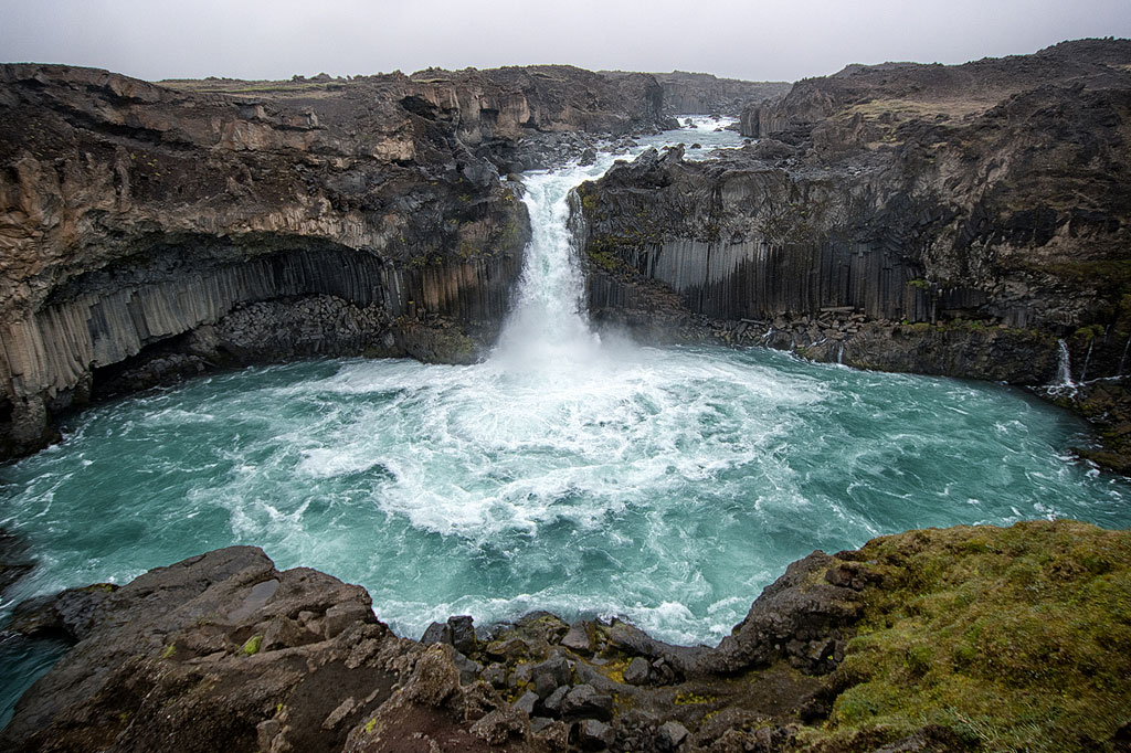
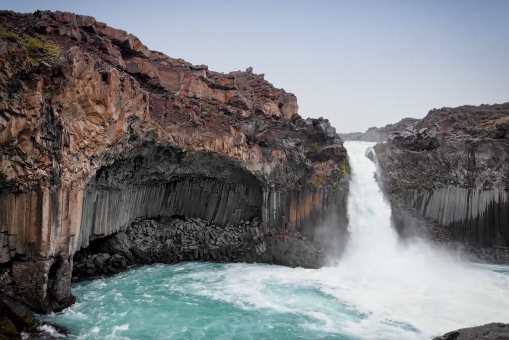
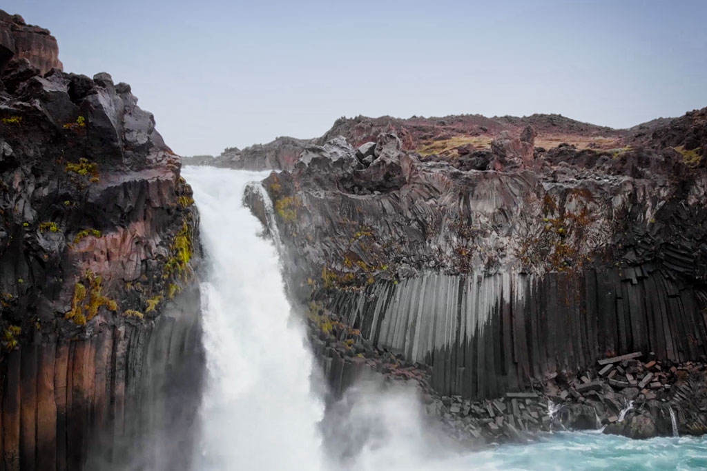
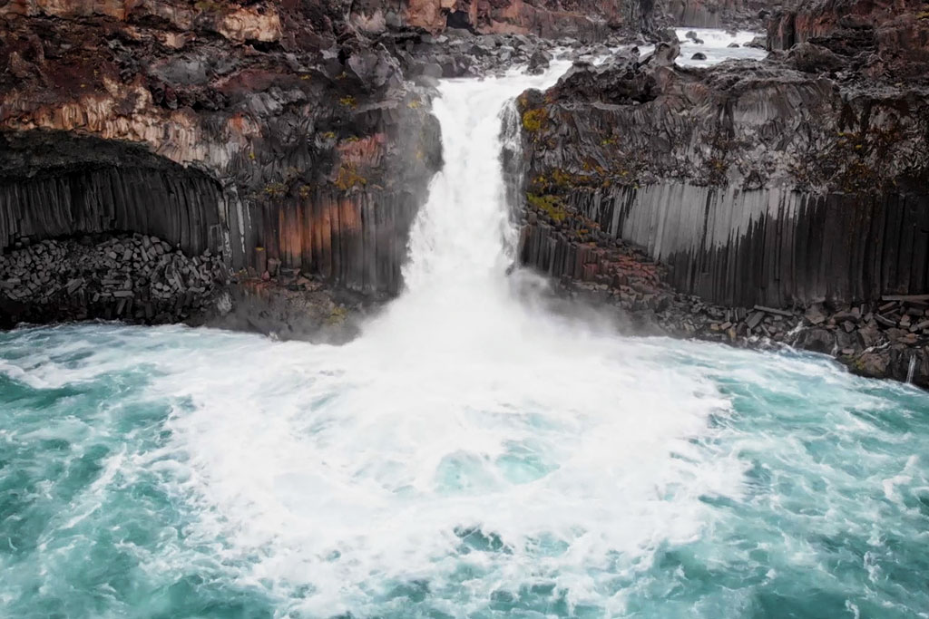
The waterfall is 20 meters (about 65 feet) high, which is quite low for Iceland. Its real signature is something else: the sweeping rows of hexagonal basalt columns on both sides of the cascade. In one place they even form a small basalt cave that looks like a work of art. They are so perfectly shaped and symmetrical that they look as if someone had carved them here on purpose, rather than as if they had formed on their own. The reason for that symmetry is in fact the particular way the lava moved, which let it cool evenly throughout.
Such basalt columns are relatively common in Iceland (at Reynisfjara, at Svartifoss, Litlanesfoss or Borgarvirki, among others), although in other parts of the world they are very rare. A motif modeled on them even adorns Reykjavik’s main church – Hallgrimskirkja.
The columns at Aldeyjarfoss, however, are far more varied in color than their black and gray counterparts elsewhere on the island. Tinted yellow and red by sulfur and iron, they are unusual even in Iceland.
How to get to Aldeyjarfoss
Aldeyjarfoss lies at the northern end of the F26 mountain road. Barely 3 km (2 miles) farther north the road crosses the Skjálfandafljót river and turns into road 842 – an ordinary road, though still gravel – which runs on to the Godafoss waterfall and the junction with Road 1 at the Fossholl gas station. That junction is about 40 km (25 miles) north of the waterfall.
A car with four-wheel drive will have no problem reaching the parking lot at the waterfall. The road to that parking lot (on the north side) does, however, climb a rather steep driveway. In rain – and rain is never far away in Iceland – the surface of that driveway can get very slippery. For a two-wheel-drive car this is too risky a passage and I really don’t recommend it.
If you’re driving the F26 from south to north, you’ll find Aldeyjarfoss at the end of the drive, about 90 km (55 miles) north of Nyidalur, 200 km (125 miles) north of the gas station at Highland Center Hrauneyjar and 40 km (25 miles) before the aforementioned station in Fossholl.
Alternative “shortcut” to Aldeyjarfoss from the Myvatn area
Although the waterfall is only about 25 km (15 miles) from Lake Myvatn in a straight line, by car you have to cover some 80 km (50 miles) – via Fossholl.
There is also a ‘shortcut’ connecting road 843 with Road 1 near Myvatn. This road is numbered 8819 (yes, four digits) and bears the proud name Mývatnsheiðarvegur.
Unfortunately, it comes with four catches. First, it is not much shorter – about 60 km (37 miles). Second, the state of the surface means it takes even longer to drive than the variant through Fossholl (though it is certainly more scenic). Third, the route bypasses the very pretty Godafoss waterfall at Fossholl. And fourth, above all, the potentially poor surface makes it a route for a car with high clearance and four-wheel drive only.
So consider this alternative route only if the weather is nice and dry, you are very keen on not driving road 842 to Fossholl twice, and you want to do the Myvatn-Godafoss-Aldeyjarfoss-Myvatn ‘circle’ – or you don’t plan to take the F26 farther south.
Either way, if you’re taking this route, get yourself a good map and preferably ask locals about the current state of this very rarely used road. In my experience, Google Maps sometimes shows this road and sometimes it doesn’t… On maps.me it is available without any trouble.
Photos of the Aldeyjarfoss waterfall