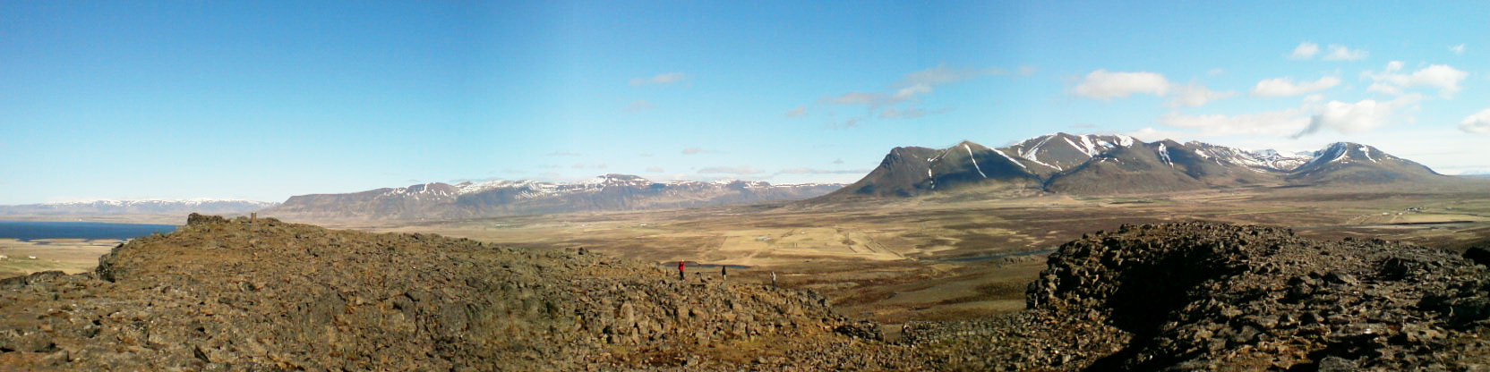
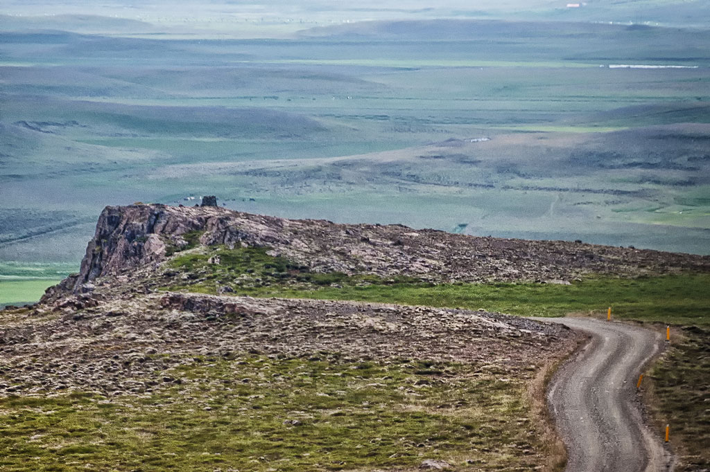
Borgarvirki is a natural basalt citadel on the ridge between Vesturhóp and Víðidalur, at the foot of the Vatnsnes peninsula in northern Iceland. It stands 177 meters (about 580 ft) above sea level, and the columnar basalt cap on top of it is 10-15 meters (about 30-50 ft) high.
A work of nature or man?
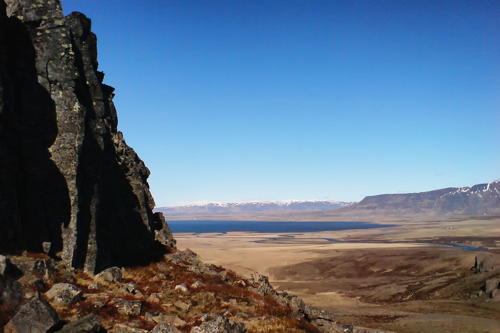
Although at first glance it looks man-made, one only needs to get closer to judge that it is nevertheless a work of nature. Borgarvirki offers a wide panorama of much of the region, and an orientation disc at the top helps locate key landmarks and nearby tourist attractions.
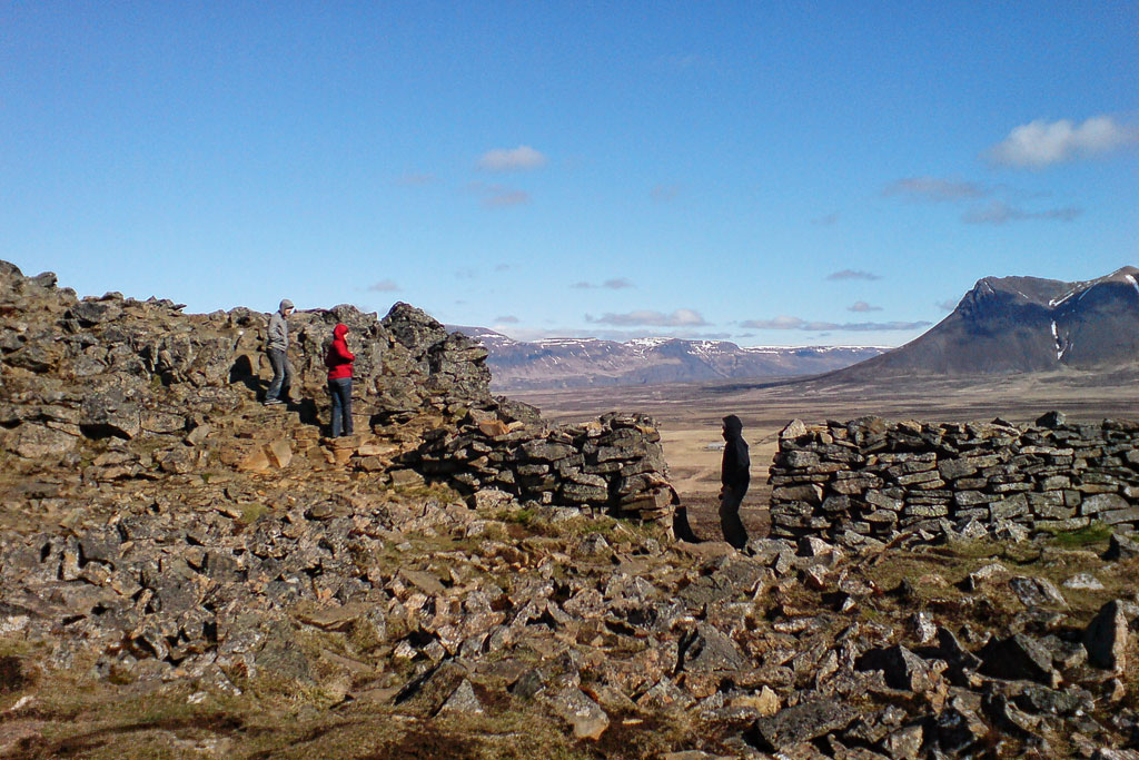
The rock itself is a volcanic plug, formed by an eruption during a warm spell of the Ice Age, when a sheet of gray basalt flowed down the Víðidalur valley. On top of it sits a horseshoe-shaped hollow about 5-6 meters (16-20 ft) deep, ringed by stone walls with a single gap facing east. The walls are ancient, but they were rebuilt between 1940 and 1950. Inside the fort are the ruins of two halls and, a few steps away, a collapsed well; the site is protected as an archaeological monument.
Surroundings of Borgarvirki
Borgarvirki is close to several other tourist attractions.
The area is best known for the rock formation Hvítserkur – a beautiful coastal rock said to resemble an elephant. The beaches below Hvitserkur are also a great place to watch seals, which rest on the rocks here and play in the cold water.
South of Borgarvirki you will find Kolugljufur, the small but very pretty and easily accessible canyon of the giantess Kola.
Southeast of Borgarvirki, in the Vatnsdalur valley by road 722, lies the unusual pond of Kattarauga with two natural floating islets that drift about with the wind. It has been a protected natural monument since 1975, and there is a lay-by to park in and a paved path down to the water, writes Iceland’s nature conservation agency.
Borgarvirki – tips and practical information
A staircase leads to the top of the citadel. Although the view from the top is truly beautiful, use extreme caution when climbing the stairs – the loose rocky debris is easy to trip on.
There is a parking lot next to the “fortress”.
Borgarvirki stands on road 717 (Borgarvegur), in northern Iceland. Coming along road number 1, turn north about 35 km (22 miles) southwest of Blonduos (Blönduós) onto road 716 (Síðuvegur), then follow road 717; you are there about 10 km (6 miles) after leaving road 1.
Farther north, at the tip of the neighboring Skagi peninsula, the basalt columns of Kalfshamarsvik run down into the sea, and right beside route 1 to the east stand the hillocks of Thristapar, the site of the last execution in Iceland.