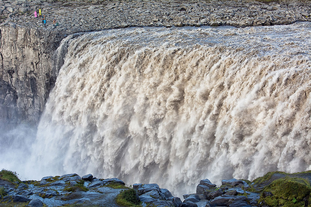
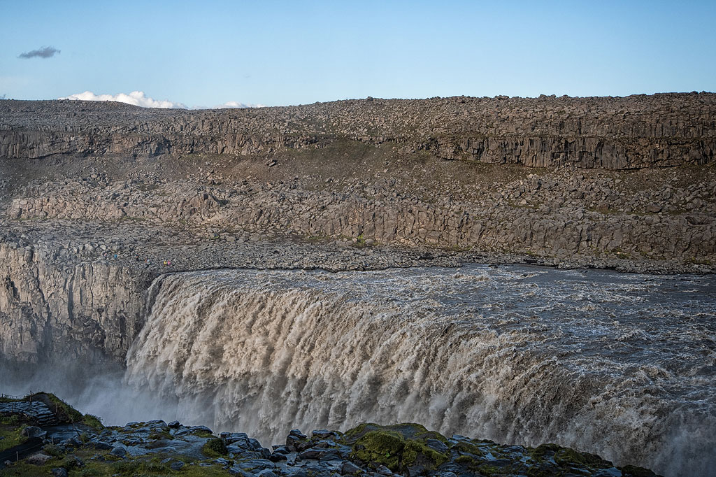
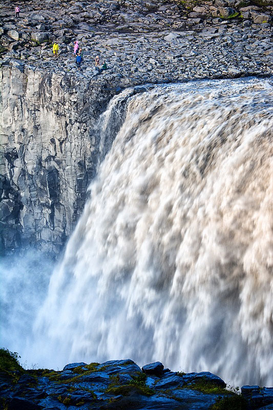
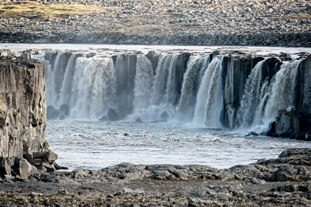
Dettifoss is Iceland’s most powerful waterfall and the second most powerful in Europe. It lies in Vatnajökull National Park, in the northern part of the island.
Dettifoss – Iceland’s most powerful waterfall
Dettifoss is neither the tallest nor the widest waterfall in Iceland. It is about 100 meters (330 ft) wide and drops (only) 45 meters (150 ft) into the Jökulsárgljúfur canyon. It is fed, however, by the mighty glacial river Jökulsá á Fjöllum, flowing from Europe’s largest glacier, Vatnajökull. As a result, more water passes over this waterfall than over any other on the island.
At peak times, when the glacier melt is particularly intense, up to 600 m3 (about 21,000 cubic feet) of water per second is said to pass over Dettifoss! That puts it in second place in all of Europe, behind only Switzerland’s Rheinfall.
The area around the waterfall is not only loud but also very damp. Dense spray is perfectly normal here, and with an unfavorable wind you can get quite wet.
Video: the mighty Dettifoss vs. tourists.
About 1 km (0.6 mi) south of Dettifoss is a second interesting waterfall – Selfoss. About 2 km (1.2 mi) to the north, in turn, lies the slightly less interesting Hafragilsfoss.
Dettifoss also marks the southern boundary of an exclave of Vatnajökull National Park. The area around the Jökulsárgljúfur canyon – that is, the land between Dettifoss and Asbyrgi to the north – belongs to Vatnajökull National Park, although it is not connected to the main part of the park in any way. It is more like a detached island of the park at its northernmost edge. For maps of the hiking trails in the area, see the article Asbyrgi – a scenic horseshoe-shaped canyon.
Hafragilsfoss
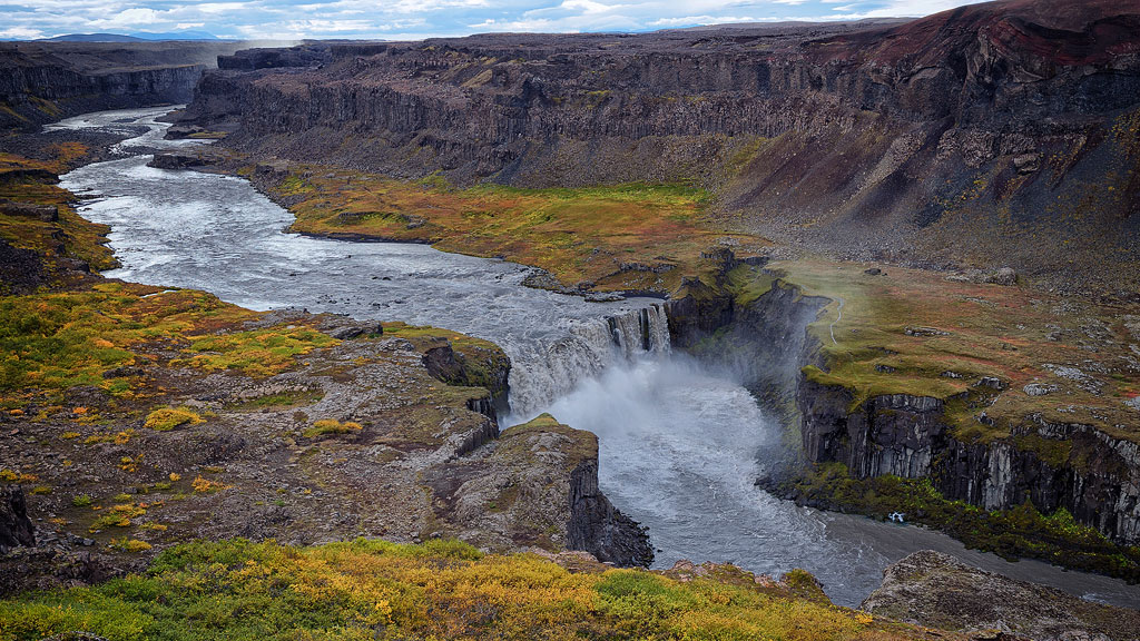
Hafragilsfoss lies about 2 km (1.2 mi) north of Dettifoss. It is about 27 meters (90 ft) high and 90 meters (300 ft) wide, and it is surrounded by beautiful cliffs.
Hafragilsfoss thus lies on the same river and in the same canyon as Dettifoss and the slightly smaller Selfoss. Although Hafragilsfoss is smaller than they are and can only be viewed from a considerable distance, it is worth a visit, among other things for the spectacular views of the canyon itself and the beautiful setting of the waterfall inside it.
The waterfall can be viewed from both the east and the west side, and there are public parking lots on both sides. Getting down to the waterfall itself is quite difficult, so we would rather admire it from a distance.
If you have half a day and don’t mind muddy boots, though, we recommend the marked Hafragil loop (trail D3): it starts at the upper Dettifoss viewpoint, follows the canyon rim, drops steeply to the canyon floor (in one place you hold on to a fixed rope), runs along the river to within sight of Hafragilsfoss and climbs back up to the parking lot. About 9 km (5.6 mi), around 4 hours; the park rates it the most difficult trail in Jökulsárgljúfur (steep, with a risk of rockfall). It was one of the finest hikes we did in Iceland – and completely wild: even in high season we met maybe five people on the lower section.
How to get to Dettifoss
Dettifoss can be viewed from two sides – east and west.
In my opinion it is definitely better seen from the west side, so take road 862 to get there (paved from the Ring Road, with only limited winter maintenance). On this side you also get a wider and better-kept path, plus easier access to the neighboring waterfall, Selfoss.
Road 862 also passes two other interesting places – Hljodaklettar and Raudholar – about 15 km (9 mi) farther north. At the same time, especially in summer, you will find many more tourists on this side of the waterfall, though it rarely gets what you could call crowded.
There is also a parking lot on the east bank of the waterfall, on road 864 (gravel, closed once the first autumn snow arrives), and a relatively short path leads to the edge of the falls. Be careful, though, as it is often very slippery. This side of the waterfall is also less popular with tourists.