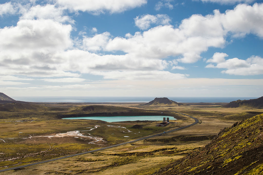
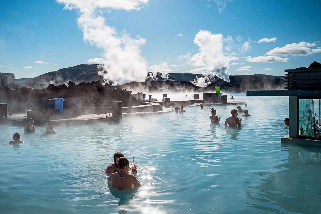
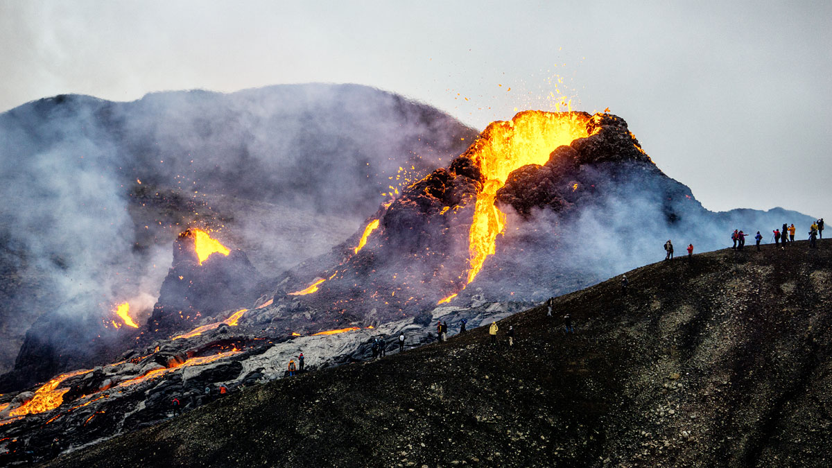
Grindavík is a fishing town in the southern part of the Reykjanes Peninsula, close to the Blue Lagoon and Keflavik Airport. In 2021, the area’s most famous attraction was the spectacular eruption at Fagradalsfjall, and since late 2023 the town itself has made headlines because of eruptions right on its doorstep. Even though the Fagradalsfjall eruptions are over, there are quite a few interesting places waiting to be seen nearby.
Grindavik – a charming town near the Blue Lagoon
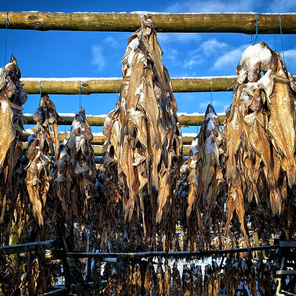
Because of its location and centuries-old traditions, most of Grindavik’s residents have made their living from fishing. The town is also a popular tourist base, especially for those visiting one of the island’s most popular attractions – the Blue Lagoon spa and hotel complex. Thanks to its proximity to Keflavik International Airport, it also makes a great alternative to Reykjavik for a first or last night on the island. But there are more attractions in the area.
In November 2023, however, Grindavík was evacuated because of a magma intrusion beneath the town, and between December 2023 and August 2025 there were nine eruptions on the Sundhnúkur crater row just north of it. The town reopened to visitors on October 21, 2024, and some restaurants, the swimming pool and the campsite are open again. According to the Icelandic Met Office, however, magma is still accumulating beneath Svartsengi, and a new intrusion or eruption is considered likely.
Things to do in Grindavík
Before the evacuation, Grindavík had a population of about 3,300, which made it one of the larger towns in Iceland. Not everyone has returned – in 2025 alone, the number of registered residents fell by about a third. The town offers a range of activities for fans of sports, local cuisine, hiking, culture and art: scenic walking trails, a golf course, a horse farm, a swimming pool with hot tubs and a steam room, and a stadium.
Wildlife fans can watch birds on the cliffs at Reykjanestá, explore volcanoes and caves, and fish for trout nearby.
Before the evacuation, visitors could also find car rentals, banks and stores here, as well as the Icelandic Saltfish Museum in the Kvikan culture house (today Kvikan serves mainly as a meeting place for residents). There are hotels, guesthouses and cottages, and a modern campsite opened in 2009 – one of the best in Iceland, with a range of amenities. According to the town website, it is open from mid-March to November, and if an evacuation is ordered, guests must leave immediately.
Before the evacuation, we recommended 3 restaurants within walking distance of the campsite: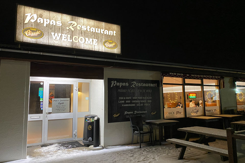
- Cafe Bryggjan – despite its name, more of a restaurant in the harbor area; it serves great seafood and is open again;
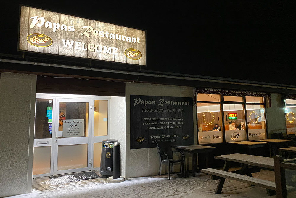
- Papa’s Restaurant – a well-known pizzeria, although the menu has other dishes too; open again;
- Salthusid – the most traditionally Icelandic of the three; closed since the 2023 earthquakes.
Visit Grindavík also lists Fish House, Max Restaurant and the Hérastubbur bakery.
Grindavík’s surroundings
The surroundings of Grindavík are extremely picturesque. The western part of the country – including Reykjavík, the Snaefellsnes and West Fjords peninsulas and the Grindavik area – lies on the North American tectonic plate, while virtually all of Iceland east of here lies on the Eurasian plate. The Mid-Atlantic Ridge runs through the whole of Iceland, including directly through the Reykjanes Peninsula and the Grindavik area. In recent years (especially since 2019), it has been one of the most seismically active areas on the island.
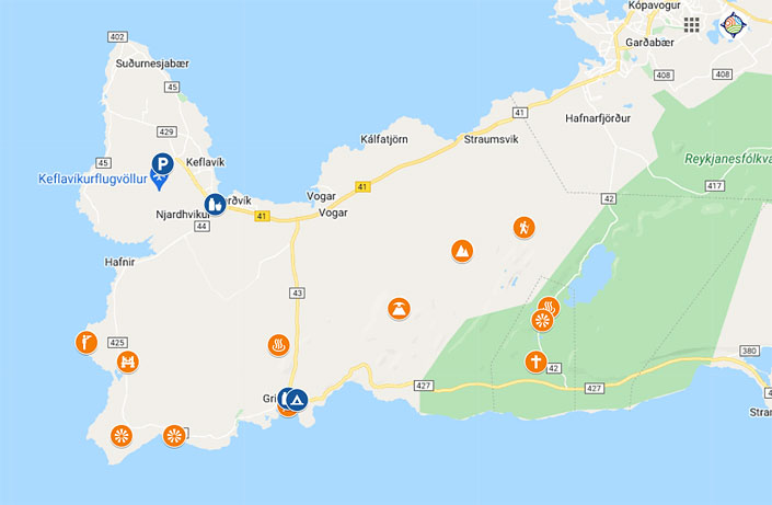
Map: Attractions near Grindavik – Reykjanes Peninsula.
The awe-inspiring landscapes around Grindavik are made of huge, hardened lava cliffs combined with silky soft islands of moss, deceptively reminiscent of a surreal “pillow” ground. The effect is completed by razor-sharp lava formations, full of cracks, craters and miniature canyons.
Use the map above if you’re on a self-drive trip. Click it once to activate it, then click the small star next to the map title. The map will be saved in your Google account and available in your Google Maps app whenever you need it.
If you’re based in Reykjavik and don’t want to drive, you can join a guided tour of the area instead. Here are our top picks:
- Hike to Volcanic Eruption Sites & Reykjanes Tour – 9 hours: Kleifarvatn, Krýsuvík, a hike at Fagradalsfjall, Gunnuhver and the Bridge Between Continents; from 15,990 ISK (about $135) per person; pick-up in Reykjavik;
- Volcanic Wonders with Grindavik Visit – 6.5 hours: Seltún, a hike at Fagradalsfjall and a visit to Grindavík with its lava barriers; hotel pick-up available;
- Private Reykjanes Peninsula Tour – 5 hours; the price is shown after you choose a date.
Krysuvik – a small but interesting geothermal area
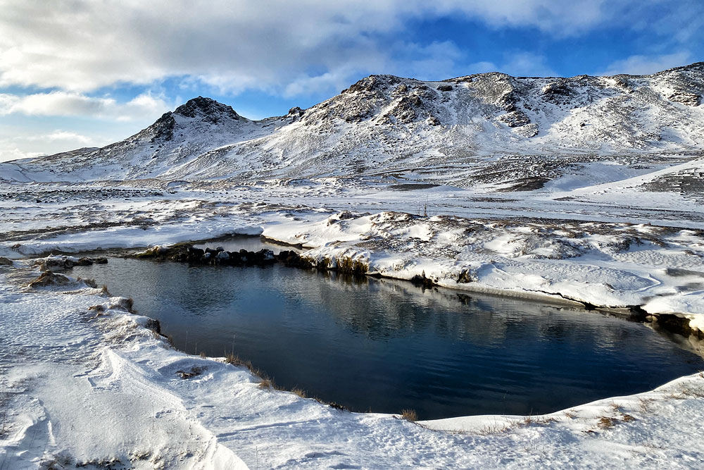
Not far from Grindavik lie the geothermal areas of Krýsuvík and Gunnuhver. Bathing in them is prohibited, but you can still admire the picturesque views. You can, however, bathe in the nearby wild hot spring Skatalaug.
Krýsuvík is a geothermal area located on the Reykjanes Peninsula in southwestern Iceland. Its main parts are Seltun, Hverahvammur and Hverahlid.
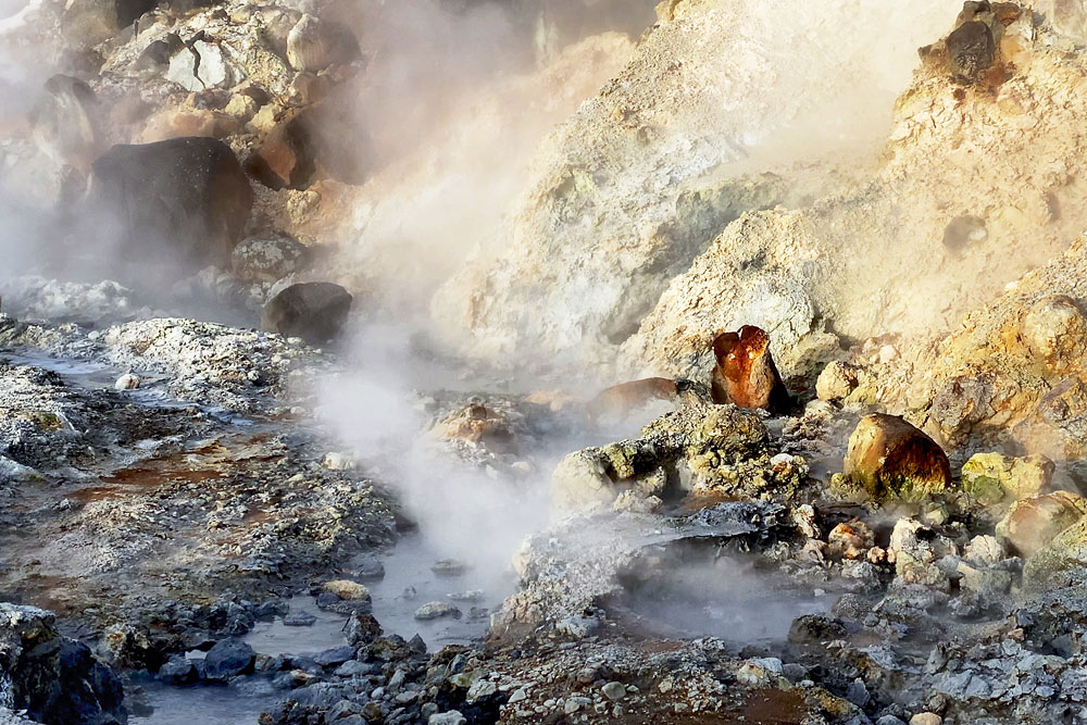
Krýsuvik vents
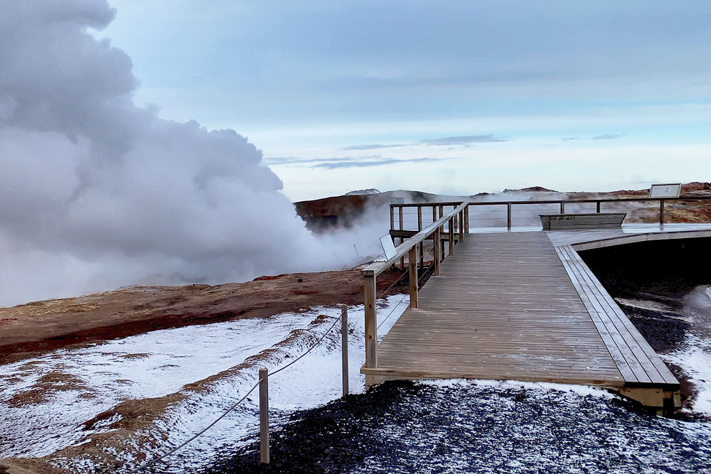
A well-maintained boardwalk winds through the geothermal fields, with information boards explaining the geology of the area. If you want a unique experience, you can climb a winding path to the top of the massive steaming hill – the view of the ocean, the geothermal fields and the lakes is truly impressive. Do not stray from the marked paths and never put your hand in the hot springs. Such “fun” risks serious burns.
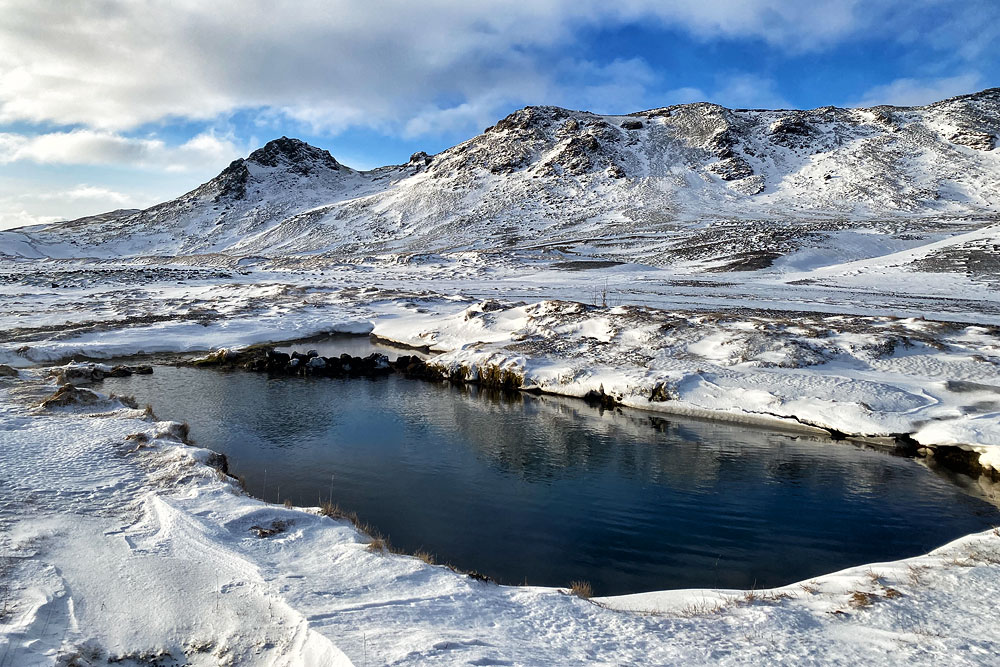
Skatalaug
If the crowds at the Blue Lagoon put you off and you don’t have time to visit Reykjadalur, Skátalaug is perhaps the closest place to the airport to take an Icelandic hot bath in nature.
We write about the Gunnuhver area a little further below, as it lies farther west.
Fagradalsfjall / Geldingadalir – eruption sites from 2021-2023
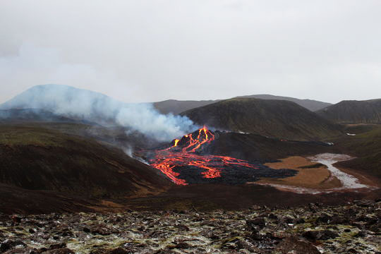
From March to September 2021, in August 2022 and in July-August 2023, Grindavik was known above all as the town closest to Iceland’s newest tourist attraction – the eruptions at Fagradalsfjall (Geldingadalir, Meradalir and Litli-Hrútur). The eruption fissures lie only about 10 km (6 mi) northeast of the town. Hiking trails lead to them from parking lots on Road 427, east of Grindavik.
The eruption itself was unspectacular by volcanologists’ standards, but for the average tourist it was absolutely breathtaking. Firstly, it was a lava eruption, so we could watch a new lava field and a new volcano forming live. Secondly, because the eruption was small and calm, it was relatively safe to get really close to it. Fame-seeking Instagrammers even tried to fry eggs by placing a pan directly on the hot lava (the experiment ended with the loss of the pan and, certainly, lots of likes).
Since those eruptions are over, the two-to-three-hour walk to the site is no longer worth the time, especially on a shorter trip. Since December 2023, the eruptions have moved to the Sundhnúkur crater row, right next to Grindavík (see above). You’ll find detailed information about the Fagradalsfjall eruptions and how to get there in a separate article: Meradalir Eruption (2022).
Keilir and the Lambafellsgja fissure
Just over the mountain ridge northwest of Krýsuvík lie Keilir – an old, extinct volcanic cone – and the Lambafellsgja volcanic fissure.
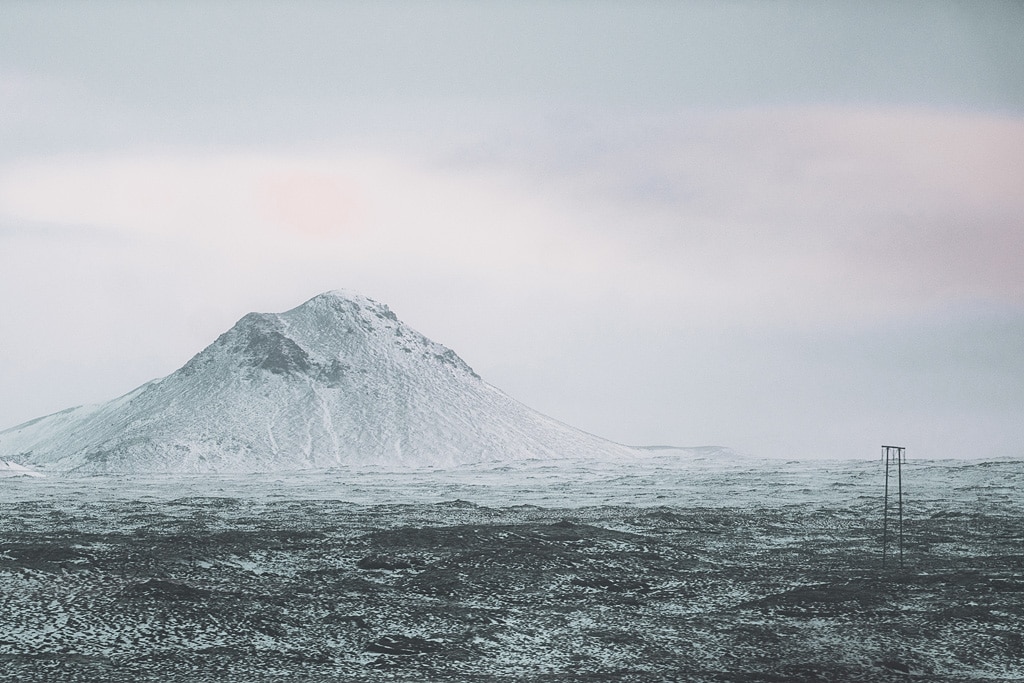
Both places are nice and interesting, but unfortunately to get to them you have to drive all the way around the region: take Road 42 out to Road 41, and from there turn onto the gravel access road opposite Road 420. The hike to Keilir from the nearest parking lot is about 4 km (2.5 mi) and 2 hours one way. The walk to Lambafellsgja is shorter – about 1 km (0.6 mi) and 20 minutes one way (from the parking lot at the end of that gravel road).
Solitary peak Thorbjorn
Just north of Grindavík rises Thorbjorn (Þorbjörn), a solitary peak easily accessible to hikers. If you like hiking, you won’t be disappointed – the views of Grindavik and the Blue Lagoon are really interesting.
The peak lies about halfway between Grindavik and the Blue Lagoon, right next to the Svartsengi area, where magma is accumulating – check the hazard assessment before you set off.
Gunnuhver geothermal area
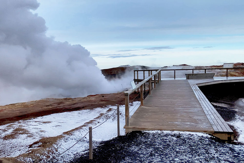
Gunnuhver
Interestingly, the hot mud pool here is the largest of its kind in Iceland – it measures as much as 20 meters (65 feet) across. According to legend, more than 400 years ago a local pastor defeated a female ghost that haunted the area. The ghost was lured into a trap and pushed into this very pool – that’s why the mud boils and roars so loudly. The name of the area, Gunnuhver, is also said to come from the name of the defeated ghost…
Bridge between North America and Europe
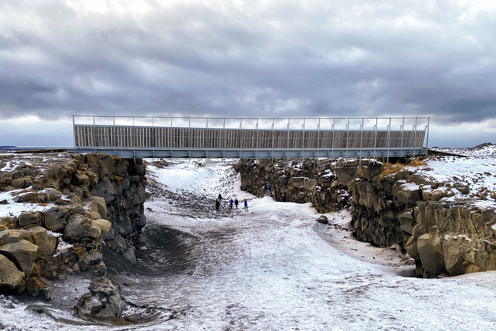
Near Grindavik there is also a “Bridge between North America and Europe”. Its appeal is supposed to be that this is where you can walk from one continent to another quickly and easily. Unfortunately, this is a rather stretched interpretation of the facts, but perhaps that is exactly why the place is worth mentioning.
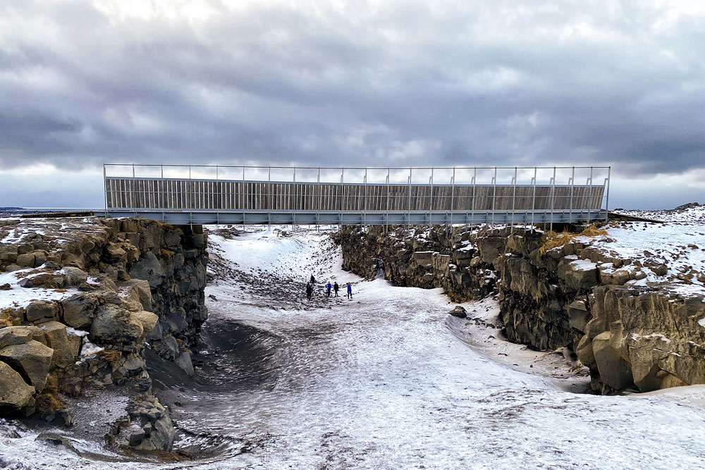
bridge between Europe and America
This means that Iceland does indeed lie on the border between North America and Europe (or Eurasia), but at the same time two more things are obvious and natural:
- First: this ridge crosses all of Iceland along a line running southwest (including the Reykjanes Peninsula) – northeast (around the Krafla volcano and Lake Myvatn and further north). So you can see it in very, very many places on the island – almost all places with names ending in -gja are fissures of this ridge.
- Second: a continental rift is not a single line, but a fairly wide zone where new land forms in the gap between diverging tectonic plates. On the surface, you see this as parallel lines of tectonic fissures and faults. This boundary is a “no man’s land” at least several kilometers wide, so it is impossible to point to one of these faults and say that on its western edge we have North America and on its eastern edge Europe.
However, a strictly scientific geological approach is one thing, and the needs of modern tourism marketing are another. That’s why a bridge (or rather a footbridge) was built over one such fissure west of Grindavik and turned into a tourist attraction. There’s nothing wrong with that, but let’s not be fooled into thinking that this is where we can get from Europe to America and back particularly easily and quickly.
Thingvellir is a must-see place when visiting Iceland. The bridge between America and Europe, on the other hand, is more of a curiosity – visit it if you have half an hour to spare before heading back to the airport, or skip it if you’re short on time.
Hafnaberg – a treat for birdwatchers
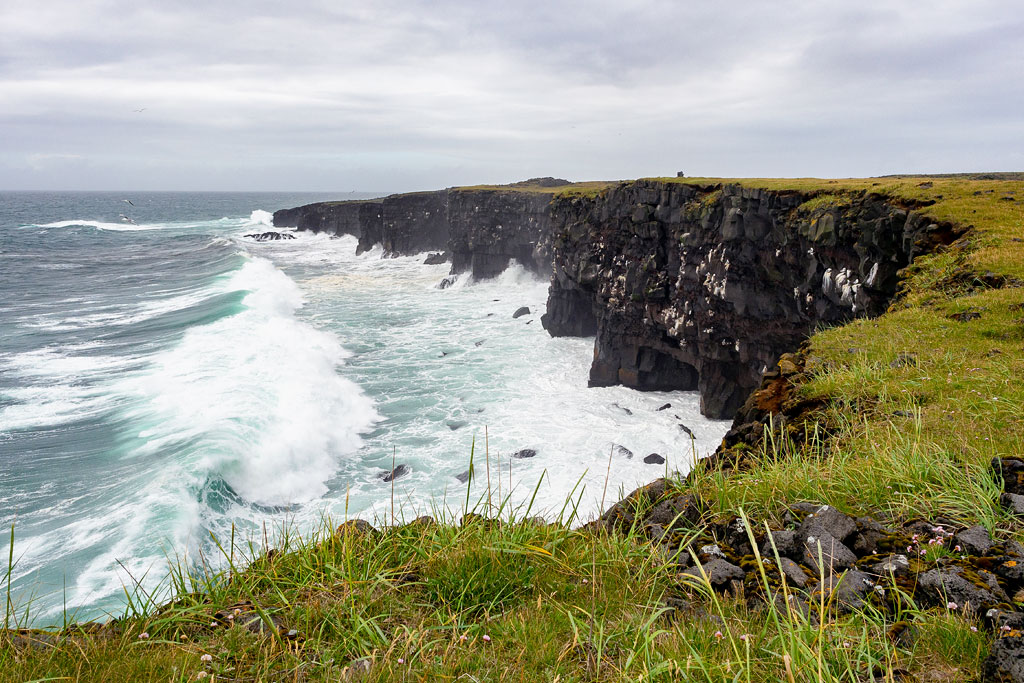
Hafnaberg is a long line of sea cliffs, very popular especially with birdwatchers.
The Hafnaberg cliffs lie south of the old fishing village of Hafnir. Their highest point reaches 43 meters (140 feet). Thanks to their rocky ledges and numerous small caves, they provide a sheltered breeding ground for many species of birds.
The cliffs are home to some of Iceland’s most characteristic species. The seabird population here is estimated at about 6,000 pairs, including black guillemots, razorbills, thick-billed murres, gulls, puffins, northern fulmars and cormorants.
If you have binoculars with you, you may also spot seals and small whales that live in the area.
Near Hafnaberg there is also the Bridge Between Continents – simply a footbridge stretched over one of the fissures of the Mid-Atlantic Ridge. While in the area, you can get to know this phenomenon, though of course the best place to see it is undoubtedly Thingvellir National Park.
Hints and practical information
- Grindavík is located at the intersection of Roads 43, 425 and 427, about a 20-minute drive from Keflavík Airport and 10 minutes from the Blue Lagoon.
- Grindavík
The town reopened to visitors in October 2024, but according to the police it is not a safe environment for children, and cracks may still open in the ground in areas that have not been inspected – stick to streets and marked paths (Visit Reykjanes). - An annual seafarers’ festival, Sjóarinn síkáti, is held in Grindavik on the first weekend of June.
- Krýsuvík
lies on Road 42, about 30 km (19 mi) south of Reykjavík and 2 km (1.2 mi) southwest of the large Kleifarvatn lake. You can visit it all year round. Right by the road, at the start of the walking path, there is a public parking lot, where in season you can usually find a street food truck. - Fagradalsfjall / Geldingadalir
The parking lots where the hiking trails to the eruption sites begin are on Road 427, about 6 km (4 mi) east of the town. Parking is paid (1,000 ISK, about $8, valid for 24 hours – Visit Reykjanes). The hike itself takes about 2 hours one way. For more detailed information about the eruptions and how to get there (including a more detailed map), see the article Meradalir Eruption (2022). - Hafnaberg
The parking lot is 4 km (2.5 mi) south of Hafnir on Road 425. It is also about 12 km (7 mi) in a straight line (and about 20 km / 12 mi by road) south of Keflavik Airport. From the parking lot, a short marked path takes you to the cliffs.
When watching birds and marine animals, be extra careful, especially near the edges. The cliffs are made of fragile volcanic tuff, and a moment’s inattention is enough to end up in the chilly ocean.