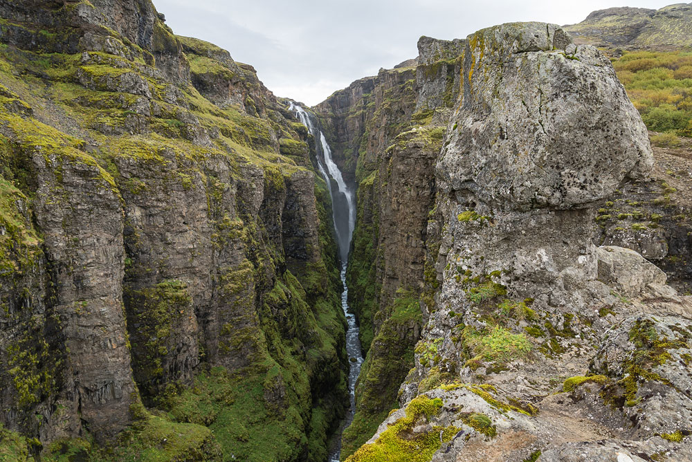
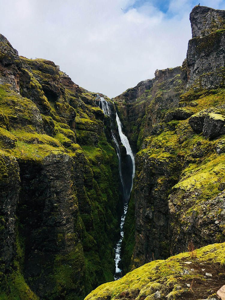
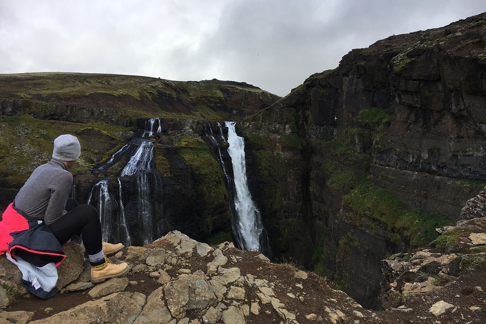
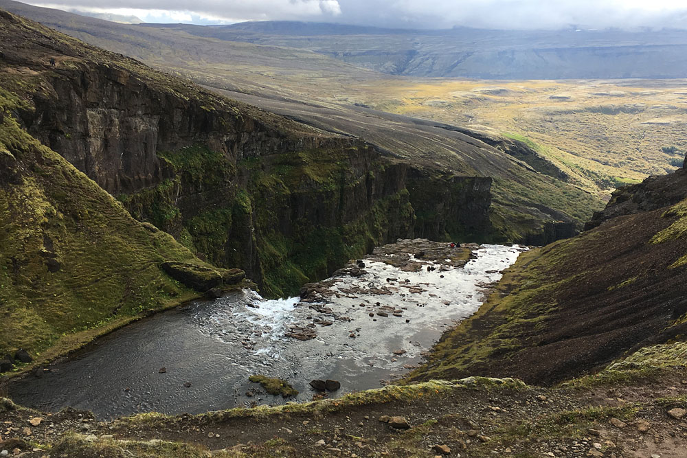
Glymur is a beautiful and very high waterfall. It measures 198 meters (650 ft) and stands in Botnsdalur, the valley at the head of Hvalfjörður fjord, northeast of Reykjavík. It is fed by the Botnsá River, which flows out of Hvalvatn, a lake dammed by lava and some 160 meters (520 ft) deep.
Glymur is NOT the highest waterfall in Iceland
For many years, Glymur was considered the tallest waterfall in Iceland. It wasn’t until 2007 that scientists working on Iceland’s glaciers discovered the Morsárfoss waterfall (in the Vatnajökull massif, near Svartifoss), whose height was measured at as high as 239 meters (780 ft), which ‘pushed’ Glymur to second place on the list of Iceland’s tallest waterfalls.
However, Morsarfoss is virtually inaccessible to the average tourist. It flows under the glacier, and while it is possible to see it if you are lucky, it is practically impossible to see it in its entirety (for more see the article on Skaftafell and Svartifoss). Therefore, it is Glymur that is still the highest waterfall we can see in its entirety on this beautiful island – West Iceland’s tourist board still lists it as Iceland’s tallest waterfall.
Where I book my own Iceland trips
Best Iceland deals
Selected partner sites, best prices
Glymur – hints and practical tips
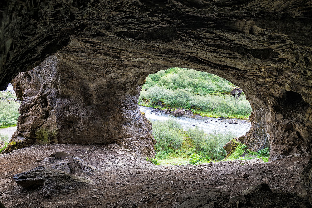
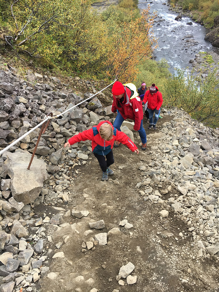
- An attractive hiking path full of smaller waterfalls, caves, lava fields and streams leads to Glymur waterfall. The trail is not difficult, but it is quite long (and uphill): the loop is 6.5 kilometers (4 miles) with about 300 meters (1,000 ft) of climbing, and the walk from the nearest parking lot takes about 3 to 4 hours (both ways, with stops). Together with the drive from Reykjavik, it is worth reserving half a day to see this waterfall. A good idea for the second half day, for example, is to visit Vidgelmir cave and other attractions around Reykholt – a bit north of here.
- The best time to experience this charming place is between June and September. It’s warmer then and the day lasts longer – we won’t have to worry about returning in the dark. In winter, when snow covers the trail and we only have daylight for a few hours a day, hiking can be dangerous and not worth the risk.
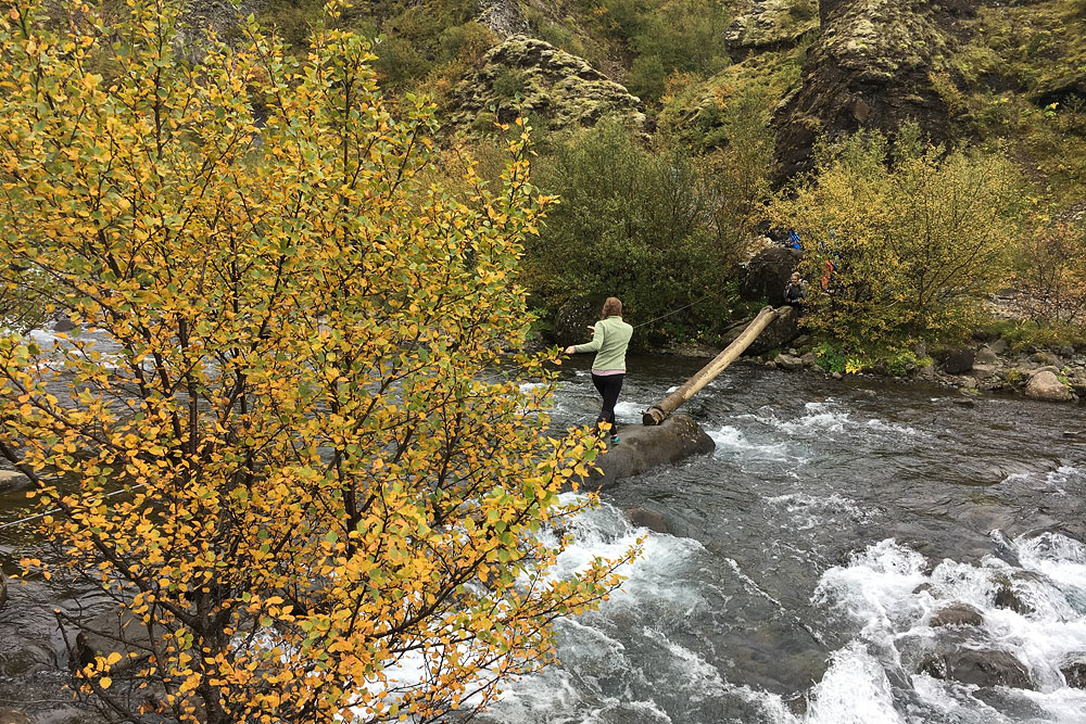
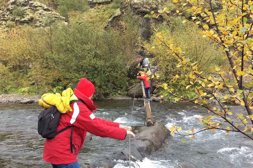
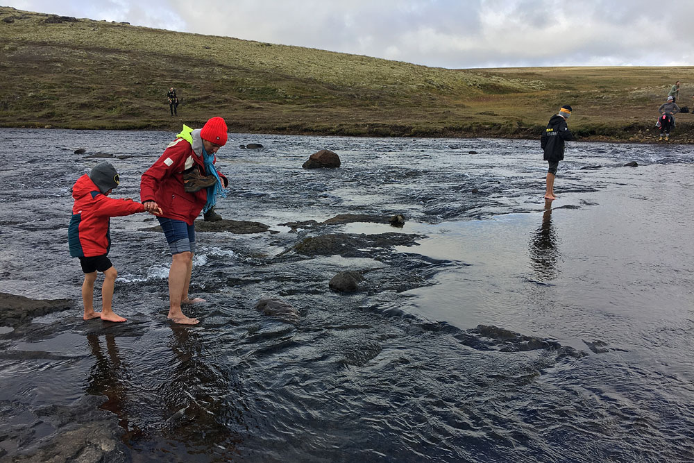
- When hiking in the Glymur area, it is advisable to wear proper hiking boots to ensure safety in more difficult conditions. Be prepared to cross or pass small streams along the way; the makeshift bridges over them leave much to be desired and it is not difficult to get your shoes wet there.
- Be sure to take water and provisions with you. Be prepared for wind and count on rain. The trip is quite long and can be tiring, but if you plan it like a “day in the mountains” rather than a quick jaunt to the next waterfall, Glymur will repay you beautifully – I don’t know a single person who went on this trip and came back unsatisfied.
How to get to Glymur
The Glymur waterfall is reached by a hiking trail starting at the parking lot, at the end of the access road at the very head of Botnsdalur valley.
To get there, you need to take Road 1 and turn onto Road 47, before Hvalfjörður Fjord (whether you’re coming from the north or south). This road will take you along the edge of the fjord itself, providing great views of the coast, mountains, vegetation and smaller waterfalls, and at the top of the fjord, signposts indicate the access road to the waterfall, though it’s hard to miss even without them.