


Olafsvik is a fishing town of just over 1,000 people on the northern side of the Snaefellsnes Peninsula, at the foot of the magnificent Snaefellsjokull glacier.
It is the slightly larger “sibling” of Grundarfjordur, and its stores are sometimes a bit better stocked. Olafsvik makes a great stop along the way or a base for driving the loop around the Snaefellsnes Peninsula. This is also where the F570 road begins, running right under the Snaefellsjokull glacier – but it is a road for 4×4 vehicles only (more on that below).
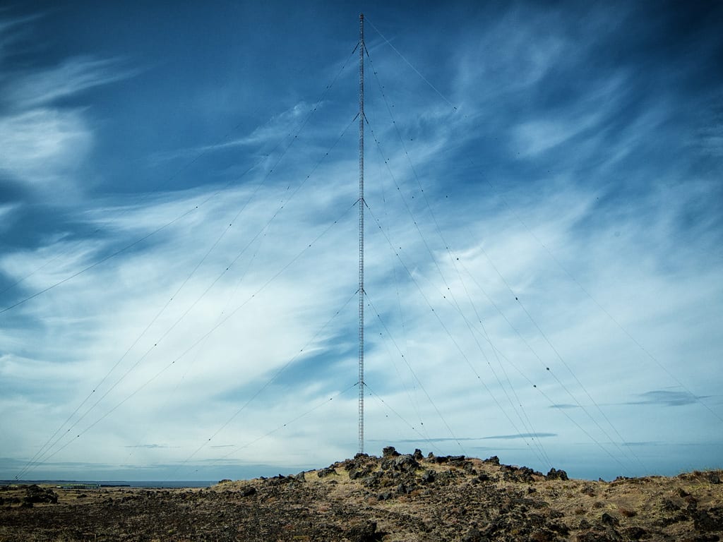
The Gufuskalar radio mast
Driving west, you can see, among other things, the village of Hellissandur, Skardsvik Beach, the Saxholl crater, and Gufuskalar – a 412 m (1,350 ft) tall radio mast, the tallest structure in Iceland and for a time also the tallest in all of Western Europe.
Olafsvik – tips and practical information
- Olafsvik is home to Pakkhúsið (Pakkhus), the regional center for culture and art. One floor houses a handicraft store and a café, and the floor above it a museum. The building also serves as an information center for travelers.
- The town has accommodations of varying standards, including Hotel Olafsvik and campsites open from June to August. In the area, you can also stay in the cottages of Lýsuhóll, a small family-run farm.
- In town, you can visit the harbor and the small maritime museum next to it, swim in the local pool, or play golf on the 9-hole course. Another interesting sight is the modern church built entirely of triangular elements. Still, all of these are worth seeing only if you have some time to spare.
- The biggest attractions in the area are certainly the beautiful Kirkjufell mountain in the neighboring town of Grundarfjordur; Skardsvik Beach and the Saxholl crater at the western tip of the peninsula; and the many attractions around the village of Arnarstapi on the southern coast of Snaefellsnes.
- Just east of Olafsvik begins the scenic F570 road, which runs across the very foot of the Snaefellsjokull glacier and on to Arnarstapi.
How to get to Olafsvik
Olafsvik is located on Road 574 – the main loop road along the coast of the Snaefellsnes Peninsula – about 25 km (15 miles) west of Grundarfjordur.
From Reykjavik, it is about 200 km (125 miles), a drive of a couple of hours.
