


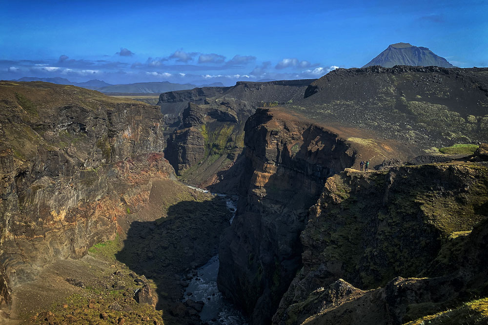
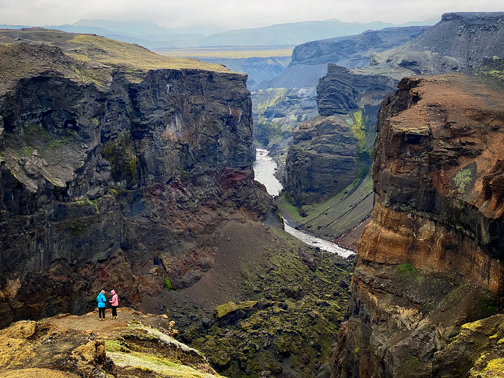
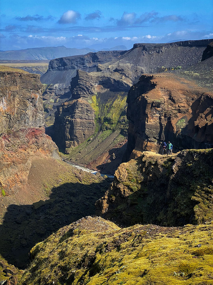
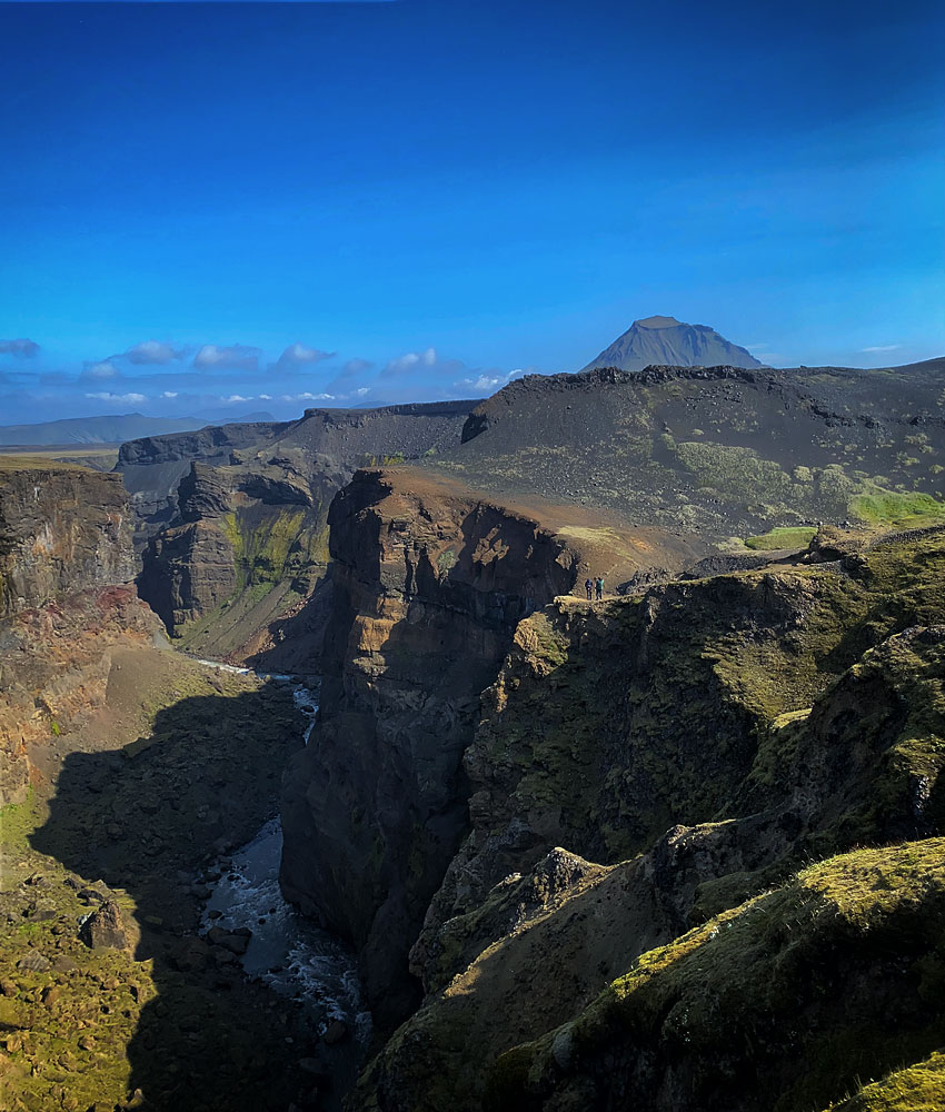
Markarfljótsgljúfur is a canyon in the southern part of Iceland, east of Hvolsvöllur. Many consider it the most beautiful canyon on the island, yet it sees few visitors, because it’s hard to drive to – it’s easier to get here on foot.
The canyon is about 200 meters (660 feet) deep, and its most accessible section stretches for about 4 km (2.5 miles). It was carved by glacial outburst floods, triggered among other things by eruptions of the infamous Katla volcano – the last of them, about 2,000 years ago, gave it its present shape.
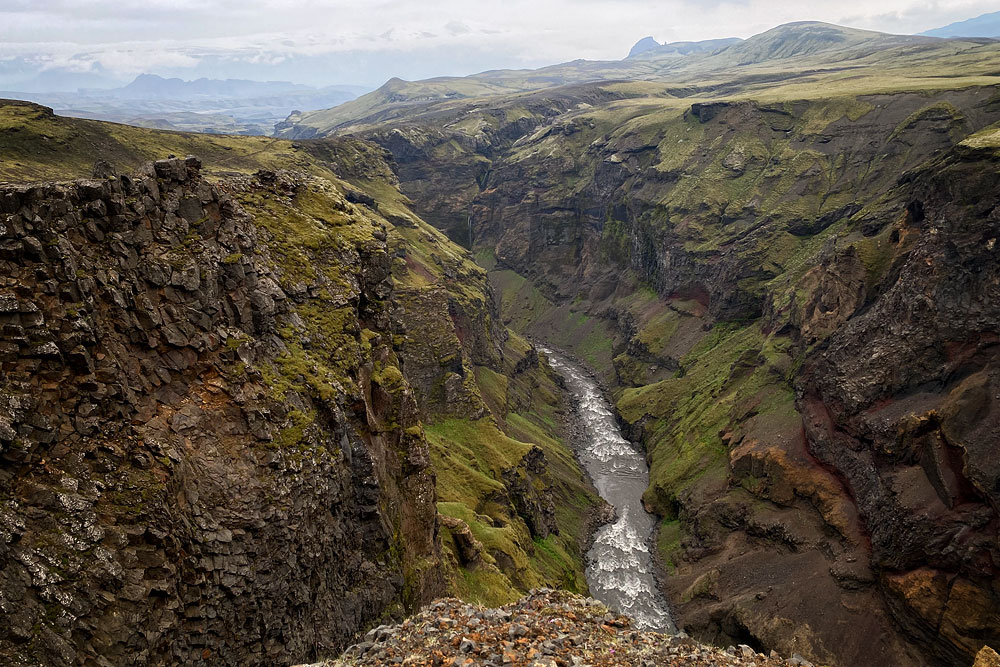
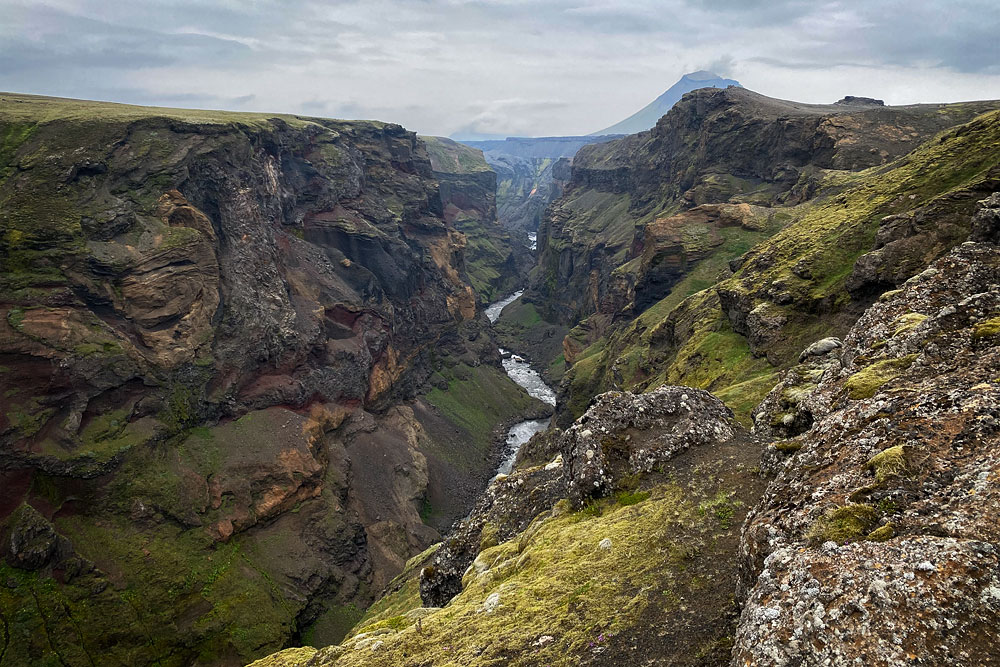
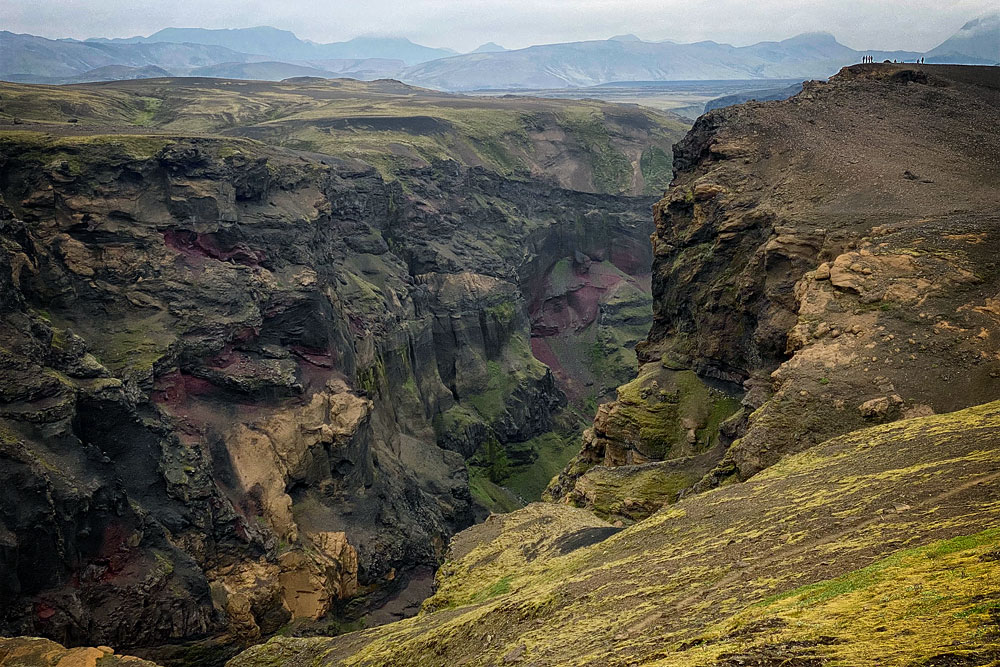
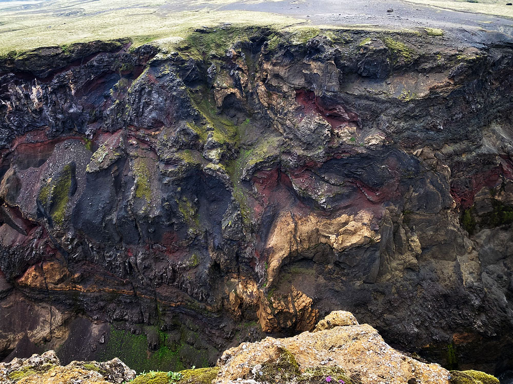
Today you can admire its steep walls, often very close to each other, covered in beautiful green moss and painted in the full palette of volcanic colors – from deep black to vivid metallic red…
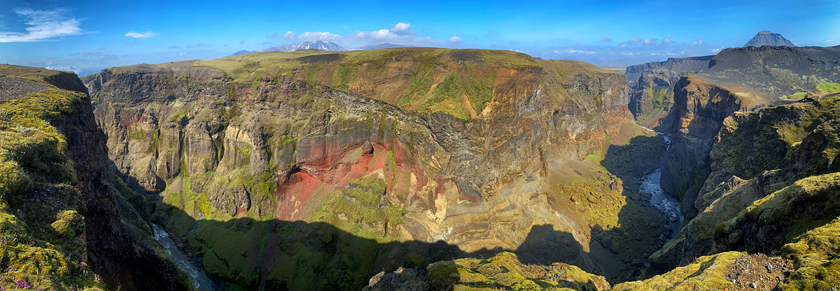
Markarfljótsgljúfur panorama from the viewpoint
The canyon lies right next to a popular and beautiful hiking route – the Laugavegur Trail – which connects Landmannalaugar and Thorsmork.
How to get to Markarfljótsgljúfur
You have to walk to Markarfljótsgljúfur, but the closest starting point is the Emstrur-Botnar Hut, run by Ferdafelag Islands (Ferðafélag Íslands, the Icelandic Touring Association). The canyon begins only about 500 m (1,600 ft) from the hut.
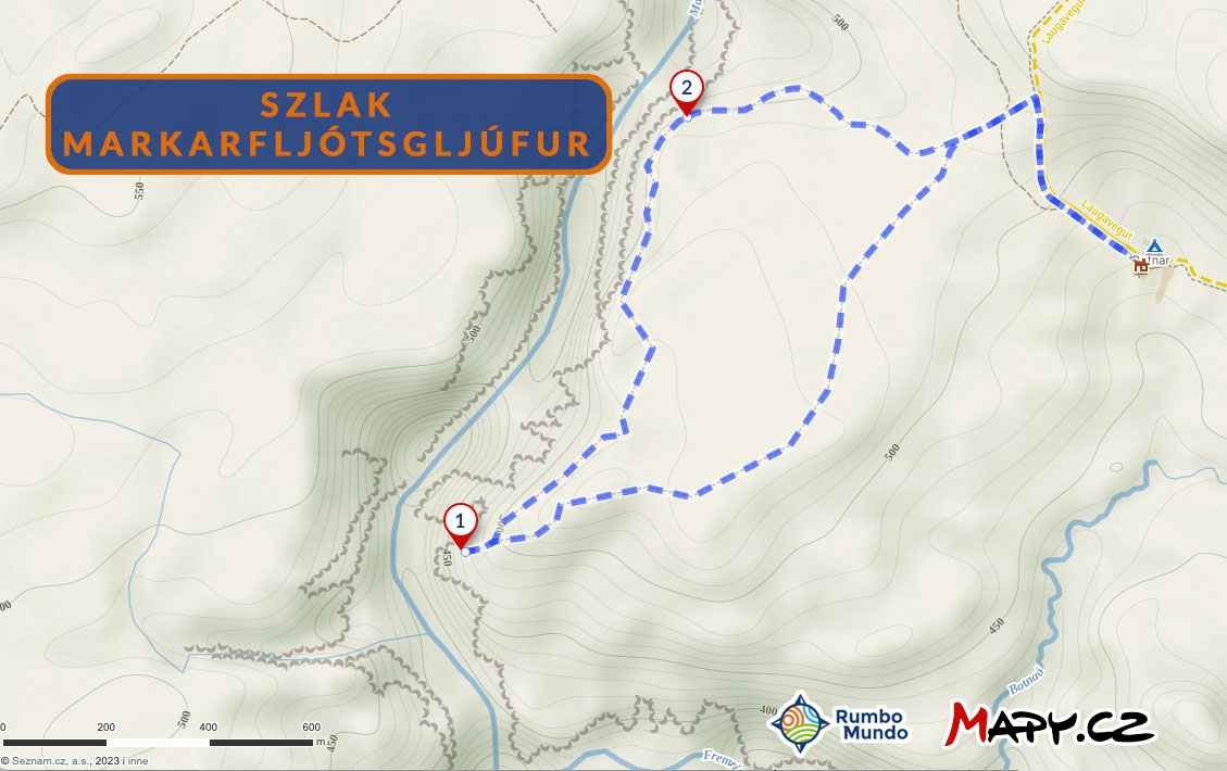
The loop to the canyon from the Emstrur campsite
The viewpoints over the canyon are close to the hut. The loop from the campsite to the two main viewpoints and about 1 km (0.6 miles) along the canyon is about 4.5 km (2.8 miles) long, and anyone should be able to walk it in one to two hours at most.
You can drive to the Emstrur-Botnar Hut on the F261 (a mountain road, 4×4 vehicles only) from the Landmannalaugar area or, from the opposite direction, from Hvolsvöllur. Coming from Hvolsvöllur, after about 55 km (35 miles), where the road turns east again after heading north, turn south onto the (even) smaller access road to the hut. On the way you have to ford mountain streams several times, so the drive is beautiful, but it calls for extra care.
The hut offers beds in huts and a campsite, so you can stay overnight and have a full day for the canyon. It’s usually open from late June to mid-September (hut phone: +354 823 5008, source: Ferðafélag Íslands).
