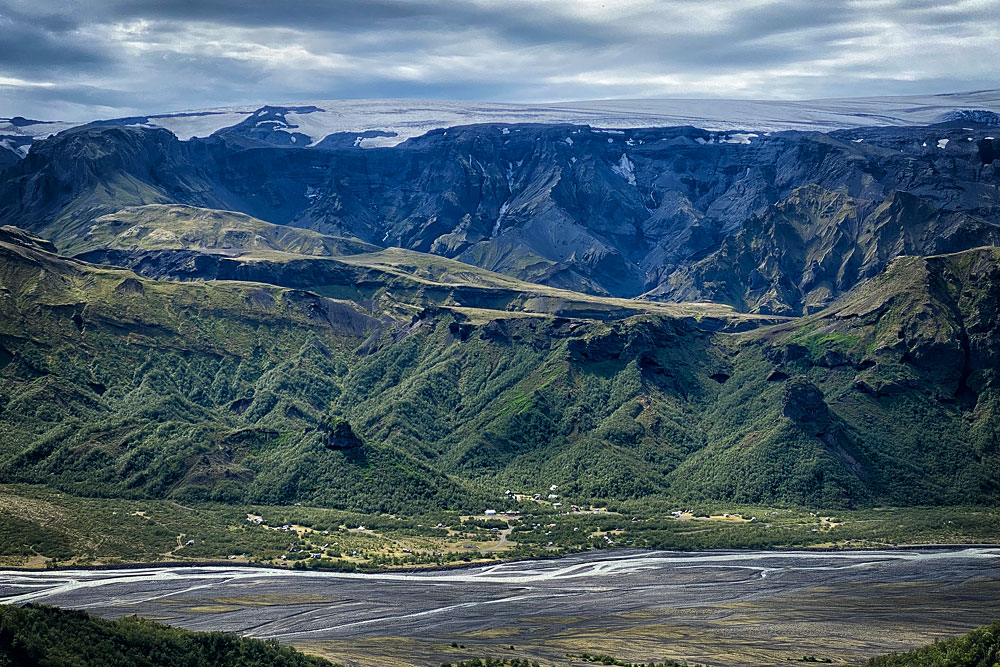
Basar Hut is a relatively accessible campsite and mountain hut in the Thorsmork region. It makes a great base for exploring the charming valley and the attractions around it.
Basar Hut: a base for exploring all of Thorsmork
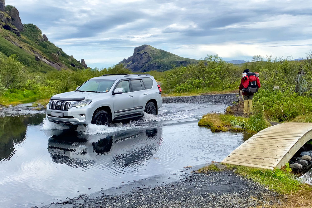
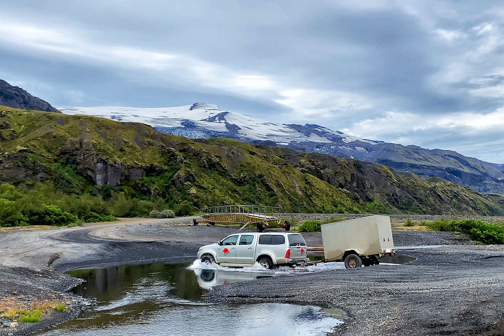
Basar Hut is much easier to reach than, for example, Husadalur / Volcano Huts in the main part of the Thorsmork valley, because you don’t have to cross the Krossá River – only a few smaller tributaries and streams.
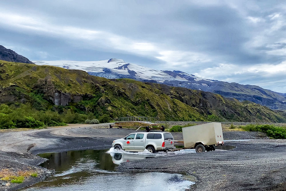
One of the fords on the way to Basar Hut
Remember, too, that glacial rivers and streams are unpredictable and can change very quickly. Before driving to Básar Hut, ask about the current condition of the road and the streams.
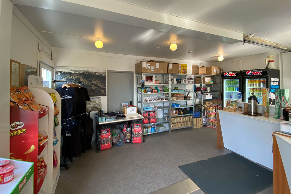
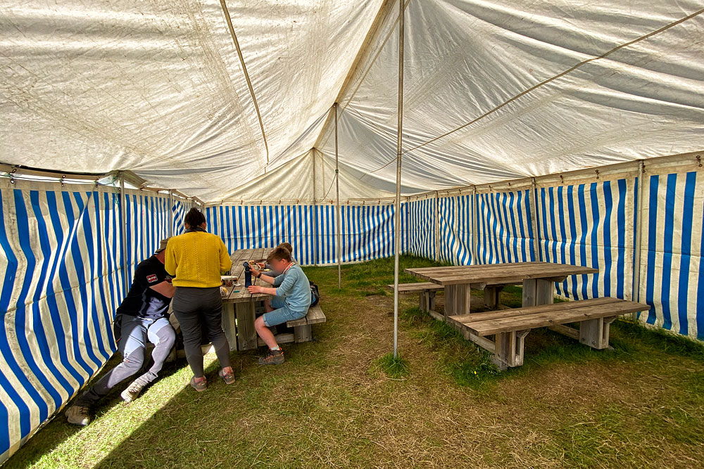
There is a small shop at Basar Hut, but don’t expect much from it. The kitchen in the hut is for hut guests only; campers only have a rather basic dining tent (an ordinary garden tent with a bench and a table inside).
Hiking trails in the Basar Hut area
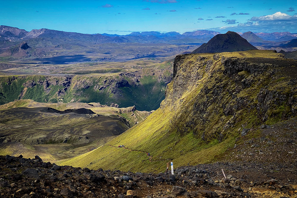
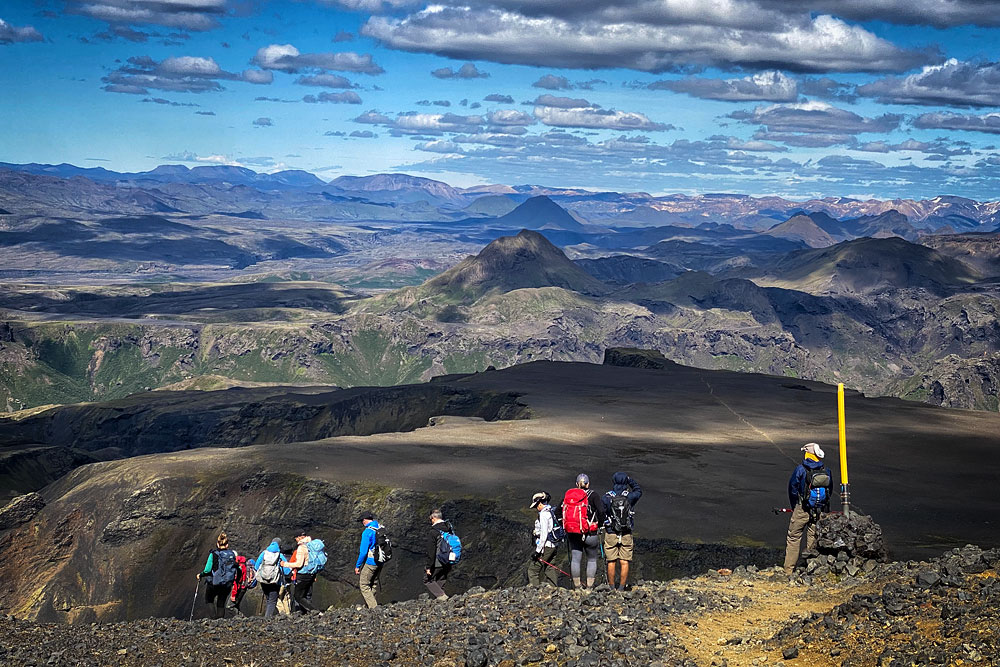
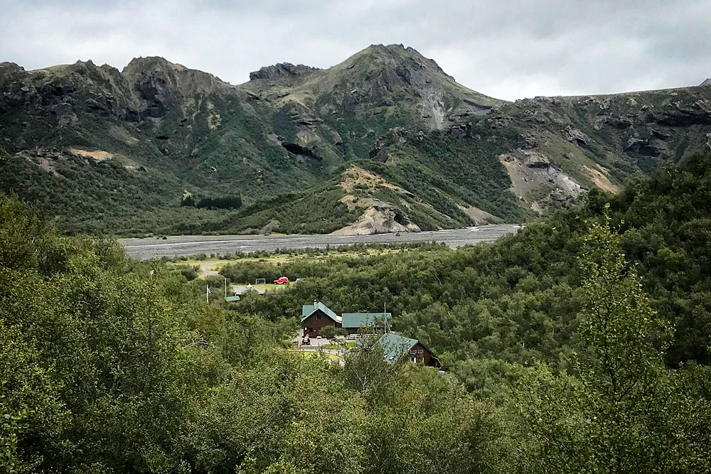
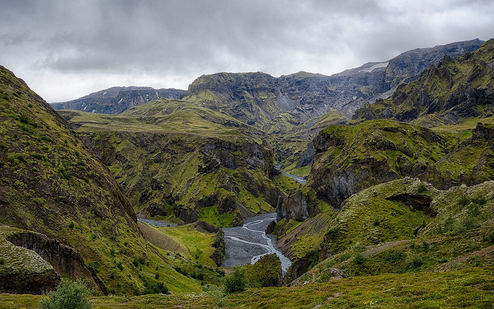
Basar Hut lies amid the lush greenery of the Thorsmork valley. The surrounding hills offer beautiful views of the valley itself, the glaciers around it and the smaller side valleys. In late summer, hikes are made even more pleasant by the berries growing in many places here. There are several hiking trails for all abilities and fitness levels in the area.
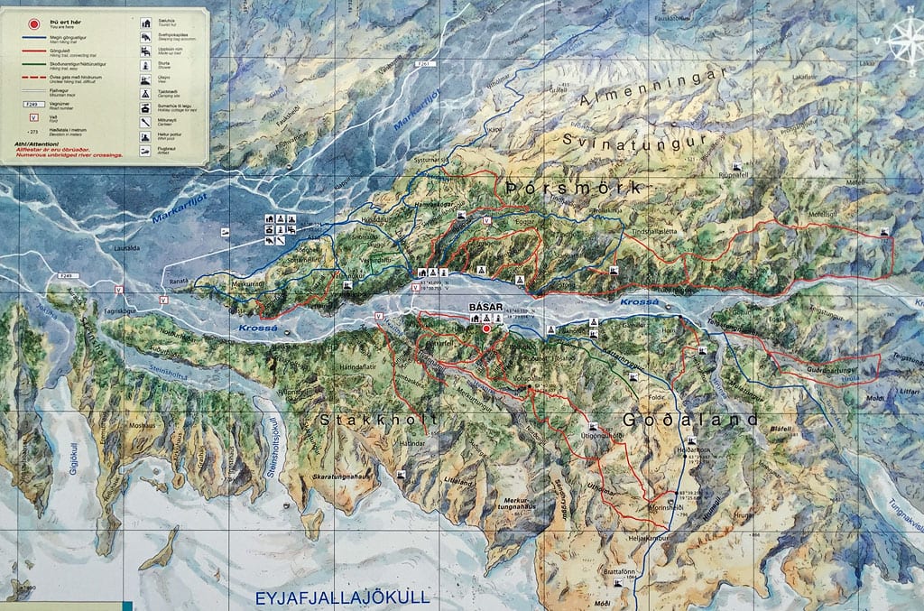
Tourist map of Basar Hut area
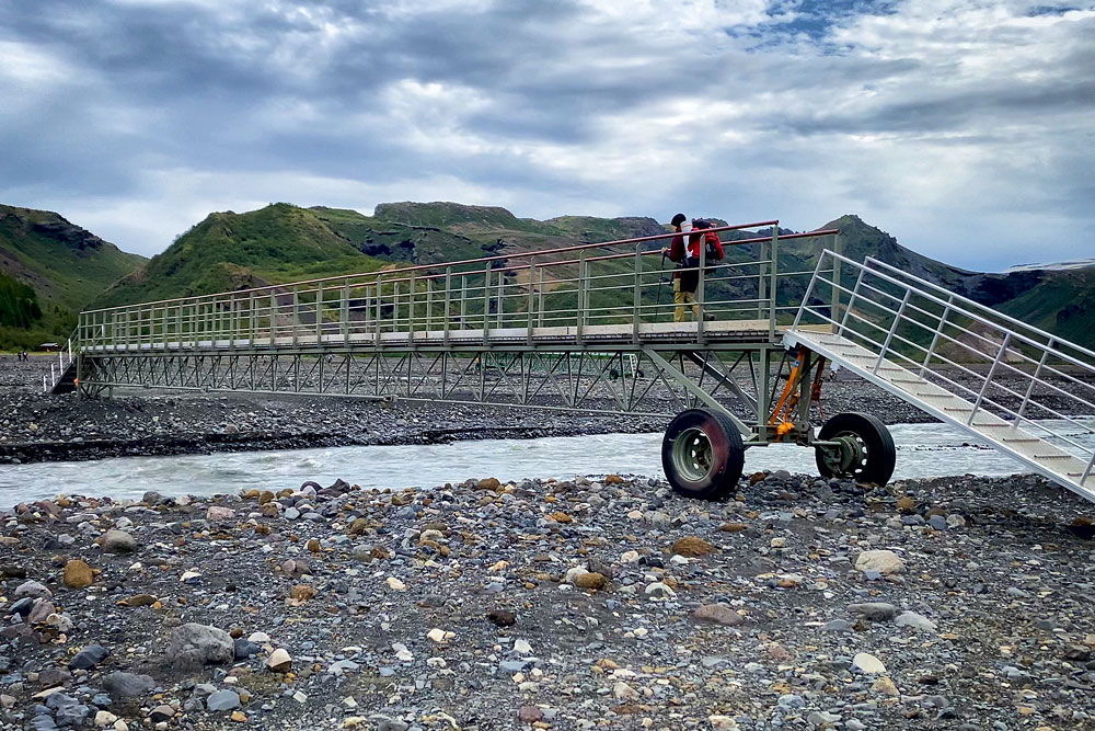
If you’re heading to the north side of the valley and want to cross the Krossá on foot, look for the mobile footbridges. These are special footbridges on wheels, moved to wherever hikers need them to cross the Krossá with dry feet. If you want to cross the Krossá by car, you have to do it without a bridge – and that is certainly one of the most difficult off-road driving challenges in Iceland.
- Basar circle
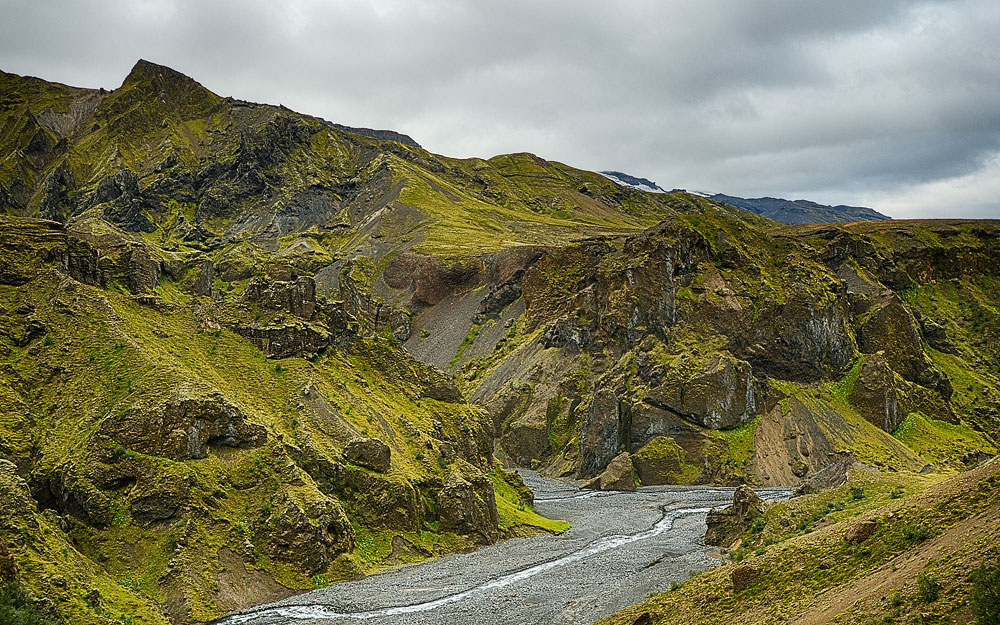
The easiest route: about 1 hour of walking on a loop up Bolhofud, the hill rising directly above the campsite. - HvannargilAs the name suggests, it is the canyon of the nearby Hvanna River. The canyon is stunning, and the hike is the highlight of a stay at Basar Hut and perhaps the prettiest trail in the entire Thorsmork region. You can see the canyon in two ways – a shorter and a longer one:

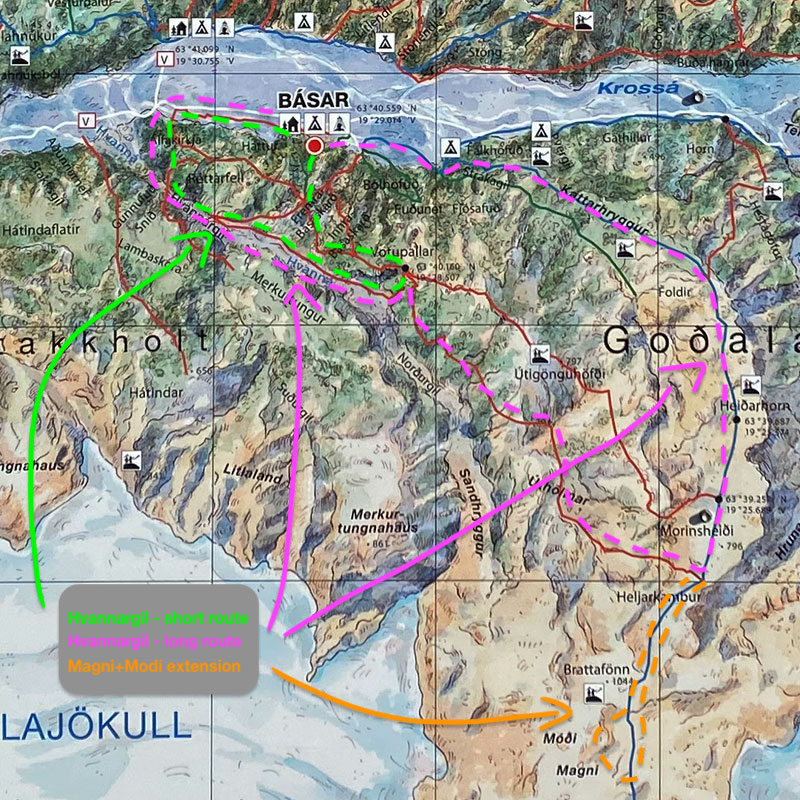
Map: the two trails to Hvannargil
The shorter version leads from the campsite up the green trail to the nearby Fremra-Basasdard pass. From there, several trails are available, but they are all marked in red, and on the ground they don’t follow the routes shown on the campsite map very closely. You have several options:
- go straight down to the Hvanna valley, follow it northwest (if the river allows) to the Krossá valley and return to the campsite along the trail next to the main road (F249);
- after descending into the valley, walk a short way northwest, but return to the Krossá valley over Alfakirkja hill; this loop is about 4 km (2.5 mi) long with about 235 m (770 ft) of ascent, so it takes about 1.5 hours in total (plus stops to admire the views);
- you can also go southeast to the top of Votupallar and only then descend into the valley to return along one of the trails described above; this route is about twice as long as the previous one, i.e. about 3 hours (before you set off, ask the warden whether it is currently possible to walk along the valley floor as the trail on the map shows; even if it is, you will probably have to cross the stream, perhaps several times);
The longer version climbs east of the campsite along the blue-marked Fimmvorduhals trail; once you reach the plateau, it’s best to switch to the second red trail branching off to the right (west) – the one that heads straight down into the valley. It takes you down into the Hvannargil valley, and you return either over the Fremra-Basasdard pass or over Alfakirkja hill. Returning via Alfakirkja, the hike is about 15 km (9 mi) with as much as 900 m (3,000 ft) of total ascent, which means about 6 hours of brisk walking; at a relaxed, “family” pace, with stops for the views and at least one longer lunch break, it will easily stretch to 8-9 hours.
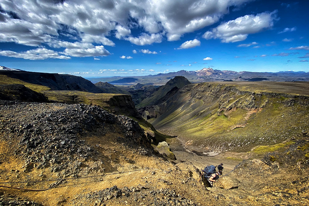
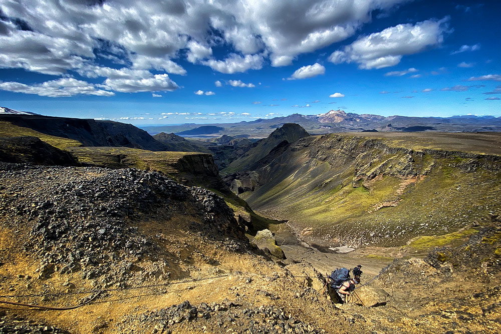
Hvannargil as seen from the Fimmvorduhals trail
Fast hikers for whom 6 hours is not enough can (if the weather is good) continue a bit further south from that plateau, past the narrow section with chains, and up to the next plateau (not far beyond the chains), where a beautiful view opens to the east with a large waterfall. Here you can turn back or go even further – up to the Magni and Modi craters, formed during the 2010 Eyjafjallajokull eruption. It’s an interesting place, but getting there takes another 2 km (1.2 mi) and 260 m (850 ft) of ascent one way, so about 1.5 hours round trip.
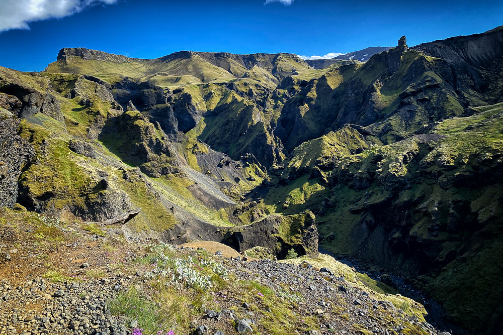
- StrakagilA narrow, deep canyon east of the campsite. The route is marked with green signs, and you can see the canyon from above, from the Fimmvorduhals route (blue trail). Walking along the canyon floor is, of course, a much greater visual experience. The route is about 4 km (2.5 mi, 1 hour) one way. Its downside is that you return exactly the same way you came into the canyon.

Strakagil Canyon
- Fimmvörðuháls
Fimmvorduhals is a trail over the pass of the same name to the village of Skogar, right next to the famous Skogafoss waterfall. You can hike it one way in one (rather long) day or split it into two days with an overnight stay on the pass. Read more about this trail in a separate article: Fimmvörðuháls trail. - Other trails
Basar Hut is a great starting point for hikes in the Goðaland area, i.e. south of the Krossá (and of the F249 road). On this side there is also the longer Gudrunartungur trail, marked (also) in red, which goes far east to the foot of the Myrdalsjokull glacier, and – also quite far east – another blue trail (after Fimmvorduhals) to the foot of the Tungnakvislarjokull glacier.From Basar you can also go on hikes on the north side of the Krossá, but because you have to cross the river itself, it is much more convenient to start from the Skagfjordsskali hut and the Langidalur campsite (the same place – only the hut has a different name than the campsite). The northern trails can also be tackled from the Volcano Huts hut and campsite. However, although that place has many advantages, it is the most out of the way, so hikes from there are longer.
Before you set off, ask the warden at the hut or at the campsite reception about the current condition of the trails.
Accommodation in Basar Hut – practical information
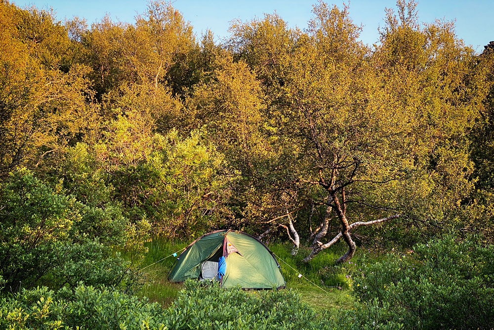
Camping at Basar Hut
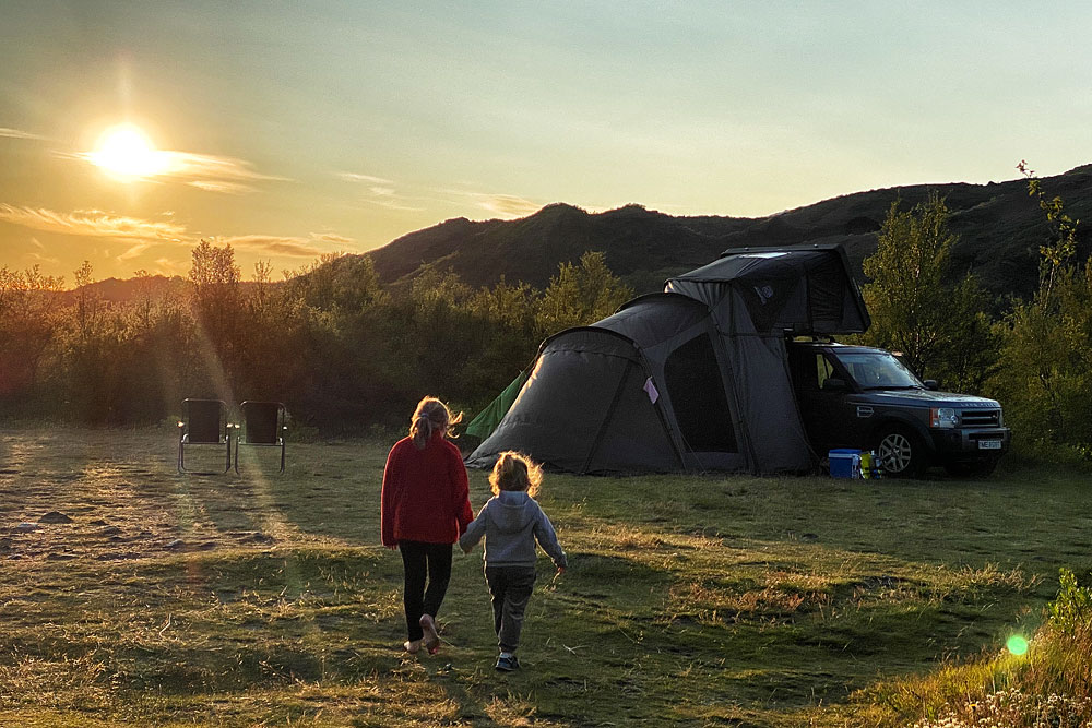
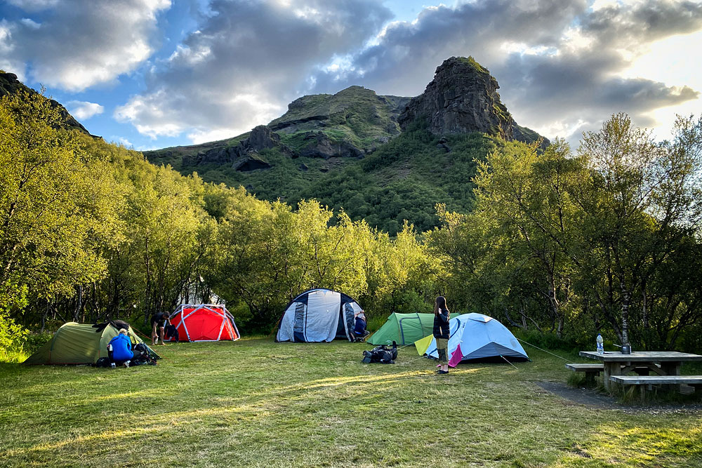
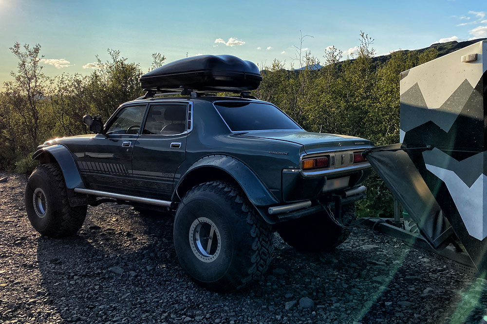
With relatively easy access, a restaurant on site and plenty of hiking trails, this is one of Icelanders’ favorite campsites, so you can also see all kinds of local, sometimes rather exotic super jeeps and campers. The crowds are not a nuisance, though, precisely because you can easily find a secluded, hidden spot.
You can book a bunk bed in the hut or pitch a tent at the campsite. Both offer rather basic conditions, typical of Útivist’s mountain huts in Iceland. You can book a place in the hut (the campsite doesn’t take reservations) through the Útivist office in Reykjavik – by phone at +354 562 1000 or by email at [email protected].
Warden’s phone: +354 563 0114
GPS coordinates of the hut: N63°40.559 / W19°29.014
The hut
- price per person for a bunk bed (bring your own sleeping bag): 16,800 ISK (about $140; Útivist, 2026),
- sleeps 75 people,
- toilets included, showers extra (1,000 ISK / $8),
- phone charging: 500 ISK / $4 per hour,
- gas stoves, cookware and tableware, and a charcoal grill available.
The campsite
- 2,500 ISK (about $21) per person plus a 400 ISK ($3) overnight tax per tent (Útivist, 2026),
- plenty of toilets and dishwashing areas (cold water only) across the site,
- showers (1,000 ISK / $8) paid at the warden’s – you get a printed bar code that you scan in the shower,
- you can leave your trash here,
- unlimited drinking water,
- no electricity (you can sometimes charge your phone at the warden’s for 500 ISK / $4 per hour),
- a dining tent (white with blue stripes), but rather poorly equipped; plenty of wooden tables with benches across the campsite for everyone.
The shop
- for a campsite shop, the selection is quite good,
- snacks, sodas, oatmeal, granola, butter, cheese, crispbread;
- batteries, flashlights, stove gas, charcoal briquettes;
- souvenir T-shirts, and even hiking boots and waterproofing spray for them;
- a few basic toiletries and cosmetics;
- unfortunately, no freeze-dried meals (or not always);
- there is a shelf with “almost empty” gas canisters for camping stoves – you can take them for free, although they usually have little gas left.
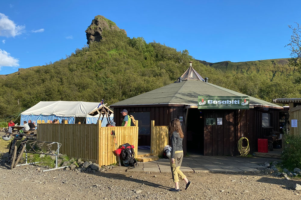
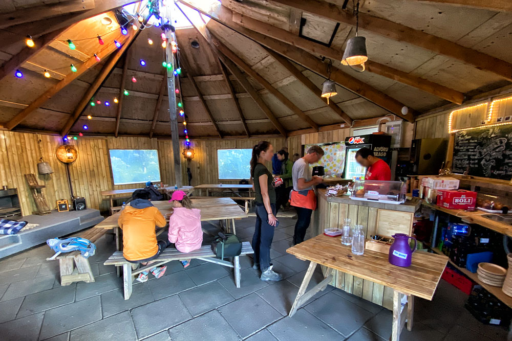
The restaurant
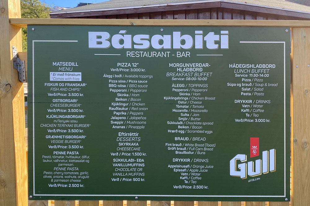
- 8-10 a.m.: breakfast buffet for 2,500 ISK per person (about $20);
- 11:30 a.m. – 2 p.m.: pizza, fish and chips, burgers, pasta and salads, from 2,500 to 3,500 ISK (about $20-30);
- after 2:30 p.m.: soup (e.g. mushroom or fish soup) with bread is the only hot dish;
- soft drinks, muffins and beer all day (0.3 l / 10 oz of beer for 1,200 ISK / $9).
How to get to Basar Hut
To drive to Basar Hut on your own, take Road 1 and turn north onto Road 249, just as you would for the Seljalandsfoss waterfall, then follow the road as it heads north and turns east.
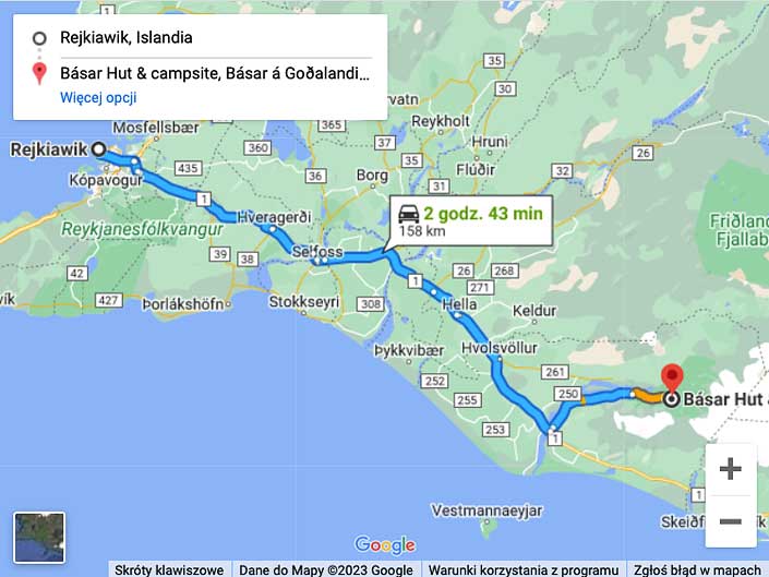
Map: Driving to Basar Hut
A little north of the waterfall, the road changes from paved to gravel. From here on it is the F249 mountain road, and you are probably driving at your own risk (for all or most rental cars, this road is not covered by insurance). The road turns east and enters the main valley, crossing more streams.
At the deeper fords, extra signs warn that the crossing is for high-clearance vehicles only. If you’re not sure about your clearance, or (very sensibly!) want to check the current water level, wait until someone else drives through or wade across the stream on foot. Walking into the stream is a chilly but very effective way to check both the water level and the type of stream bed (avoid big stones, of course, but also loose sand).
The drive from Seljalandsfoss is about 30 km (20 mi) and takes about 1 hour, but – weather permitting – it’s worth stopping on the way at Stakkholtsgja Canyon and seeing it “from the inside”.
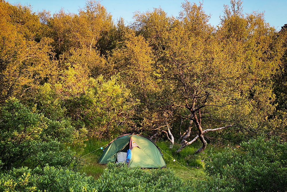
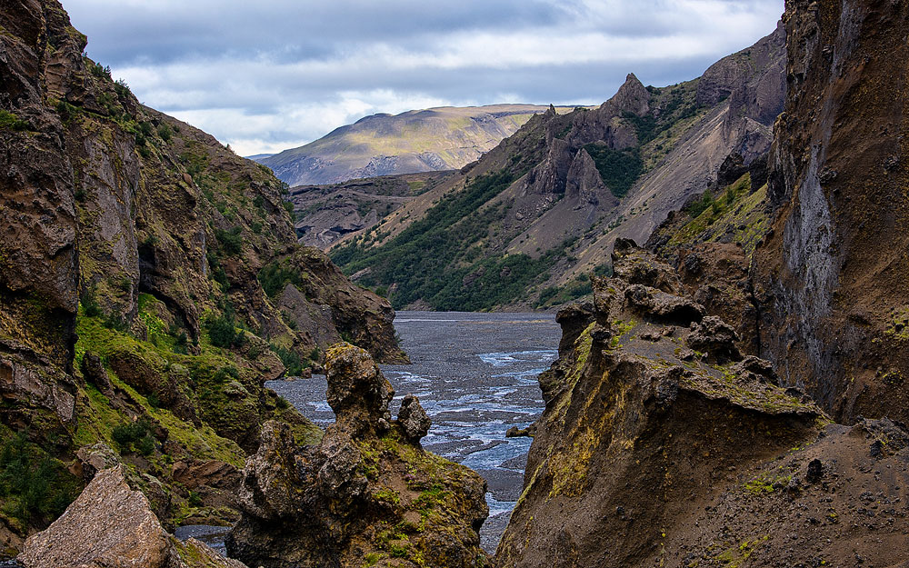
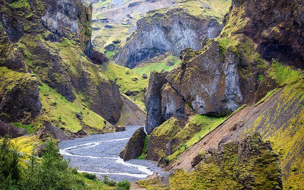
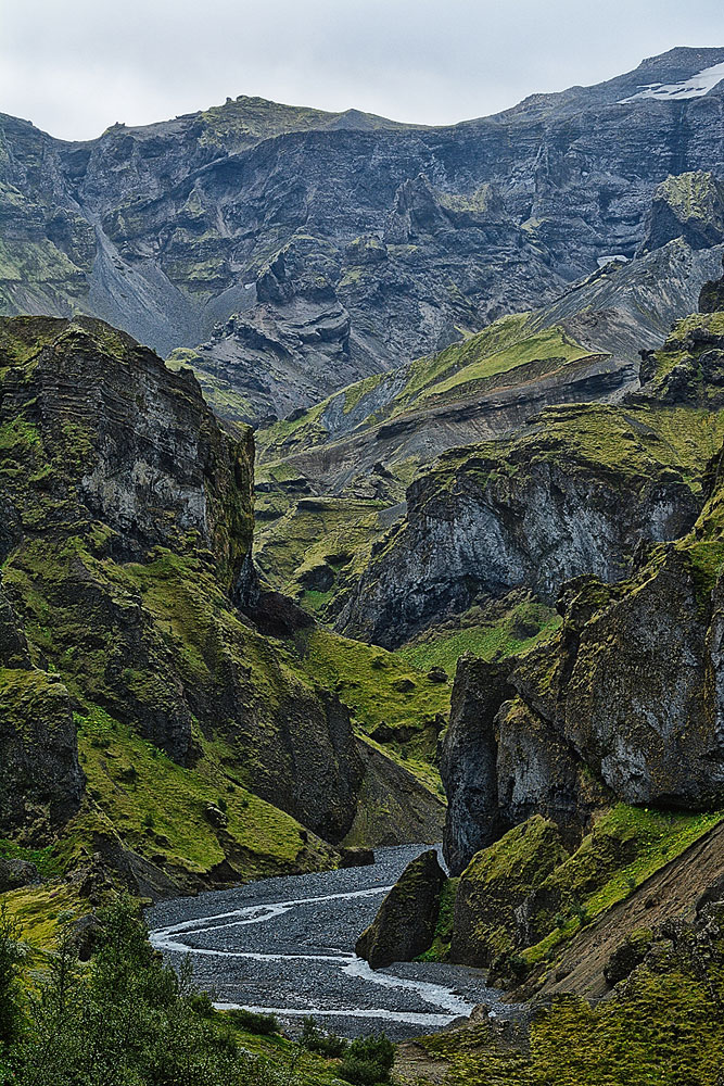
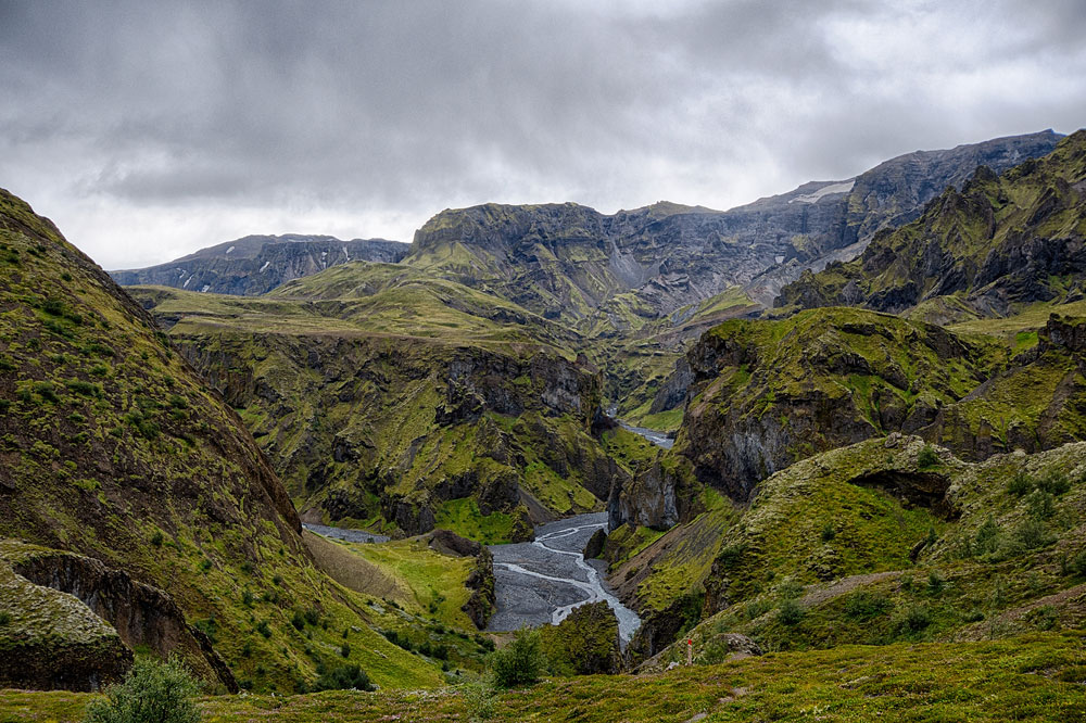
Photos from Basar Hut and surrounding areas