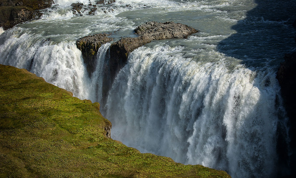
Gullfoss (literally “golden waterfall”) is one of Iceland’s most iconic waterfalls. It lies in the canyon of the Hvítá River in southwest Iceland and is part of the hugely popular Golden Circle route. The waterfall stands at the gateway to one of the two most important roads across the center of the island: the F35, known as Kjalvegur.
Structure and history of Gullfoss Waterfall
The waterfall has two distinct steps: the first, shorter one is 11 meters (36 feet) high, and the second 21 meters (69 feet). The walls on either side reach up to 70 meters (230 feet) as they drop into the great Gullfossgjúfur canyon. Don’t be surprised if the mighty waterfall… gets you thoroughly wet. In summer, about 140 cubic meters (4,900 cubic feet) of water pours over it every second! The wind often carries the spray from the bottom of the falls straight onto the path and the parking lots, so if you want to get close to the waterfall itself, you may well come back soaked…
Where the name Gullfoss comes from is not entirely clear. One theory points to the golden evening light that tints its water. Another says the name was inspired by the rainbow that often appears when the sun hits the waterfall. A third comes from the travel diary of Sveinn Palsson (1762–1840), an Icelandic naturalist, ethnographer and physician. According to a story Palsson heard from local people, a farmer named Gygur once lived at nearby Gygjarholl. Gygur had plenty of gold, but he couldn’t bear the thought of it passing into someone else’s hands after his death. To prevent this, he put the gold in a chest and threw it into the waterfall, which has been called Gullfoss ever since…
Gullfoss – practical information
- In 1979, Gullfoss and its surroundings became a nature reserve. Both the waterfall’s growing fame and its later protection were the result of the efforts of local activist Sigríður Tómasdóttir of Brattholt (1871–1957). The reserve is managed by the Nature Conservation Agency of Iceland (Náttúruverndarstofnun).
- A nature trail named after Sigridur – Sigríðarstígur, or Sigríður’s Path – leads from the lower parking lot to the waterfall, with interesting signs about the falls and the surrounding nature. You can, of course, also reach the trail from the upper parking lot.
- Next to the upper (slightly more distant) parking lot is Gullfoss Café, a locally run restaurant serving a wide choice of snacks and meals (at prices to match the country and the location). The menu includes hot soups, sandwiches, salads and cakes. There is also a gift shop selling traditional Icelandic souvenirs.
- Gullfoss is open year-round, but some viewpoints are not always accessible.
- When visiting, follow the warning signs and stay on the marked trails. In winter, watch out for ice: it’s easy to slip and even slide off the path.
How to get to Gullfoss
Gullfoss is the northeasternmost point of the Golden Circle. Beyond it, the road continues north as the F35, which is closed in winter.
From Reykjavik, you can reach Gullfoss by way of Thingvellir National Park (roads 49, 1, 36, 365, 37 and 35), but – especially in winter, when road 365 may be uncleared, icy or closed altogether – it can be easier and faster to come from the south, via roads 1 and 35.
Either way, it’s about 120 km (75 miles) one way and a little over 1.5 hours of driving. Other Golden Circle attractions await along the way, though, so the trip will most likely take longer.